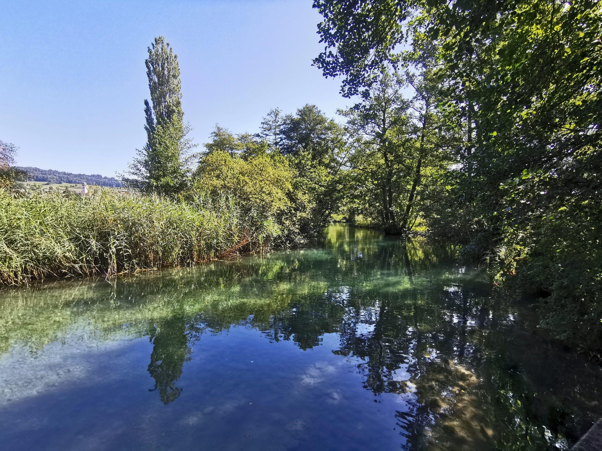
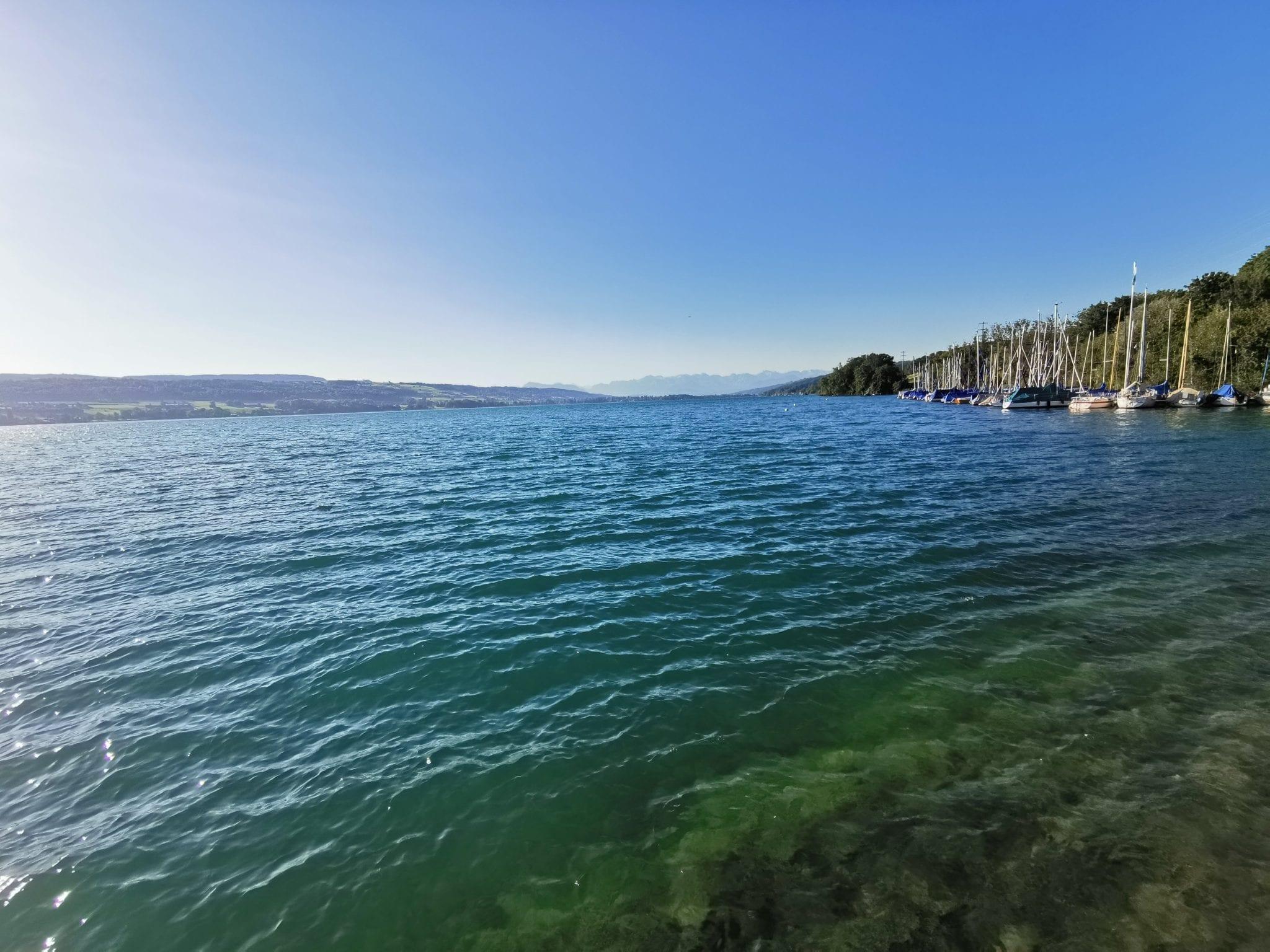
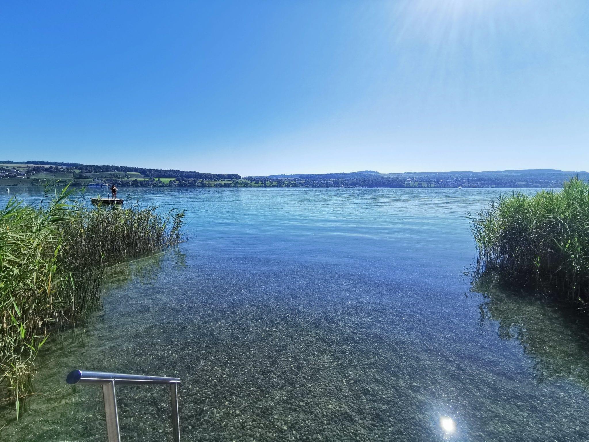
Map of the route “Hallwilersee Rundwanderung”: 23.828 m, 82 m of climbing and 66 m of descent, elevation between 450 m and 475 m, time 07:16:55. It is a loop that starts and ends at 47.28967, 8.20205 (latitude, longitude).




 Gesamtstrecke: 23840 mDownload file: activity_3964305025.gpx
Maximale Höhe: 475 m
Minimale Höhe: 450 m
Gesamtanstieg: 82 m
Gesamtabstieg: 66 m
Durchschnittsgeschwindigkeit: 10.37 min/km
Gesamtzeit: 07:17:02