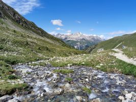
Map of the route “Schynigiplatte – Faulhorn”: 11.637 m, 1.457 m of climbing and 817 m of descent, elevation between 1.895 m and 2.631 m, time 03:55:03. It starts at 46.65161, 7.90921 and ends at 46.67461, 7.99941 (latitude, longitude).
Gesamtstrecke: 11636 m
Maximale Höhe: 2631 m
Minimale Höhe: 1894 m
Gesamtanstieg: 1457 m
Gesamtabstieg: 817 m
Durchschnittsgeschwindigkeit: 15.53 min/km
Gesamtzeit: 03:55:02
Download file: schynigiplatte-faulhorn.gpx
Maximale Höhe: 2631 m
Minimale Höhe: 1894 m
Gesamtanstieg: 1457 m
Gesamtabstieg: 817 m
Durchschnittsgeschwindigkeit: 15.53 min/km
Gesamtzeit: 03:55:02