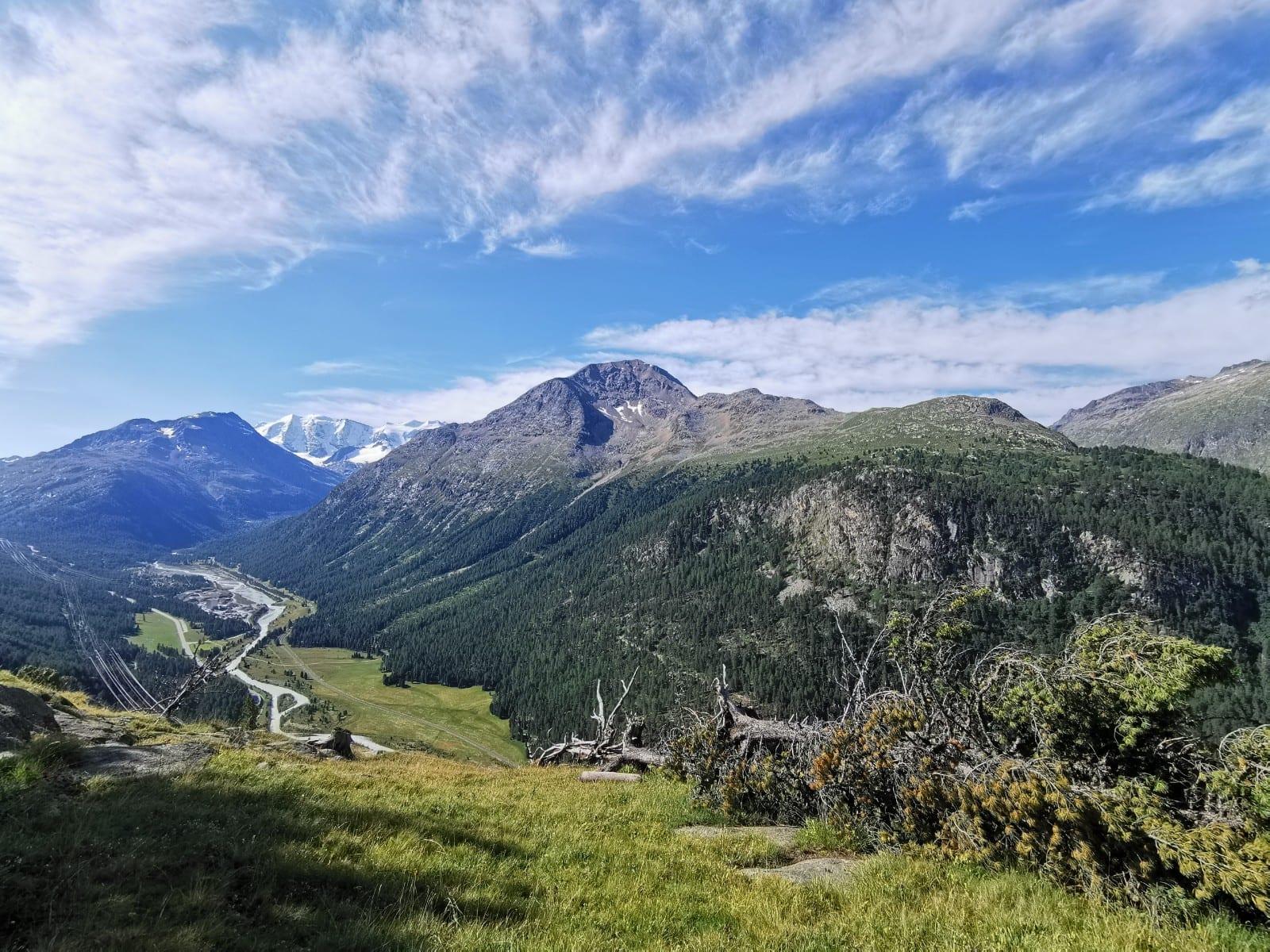


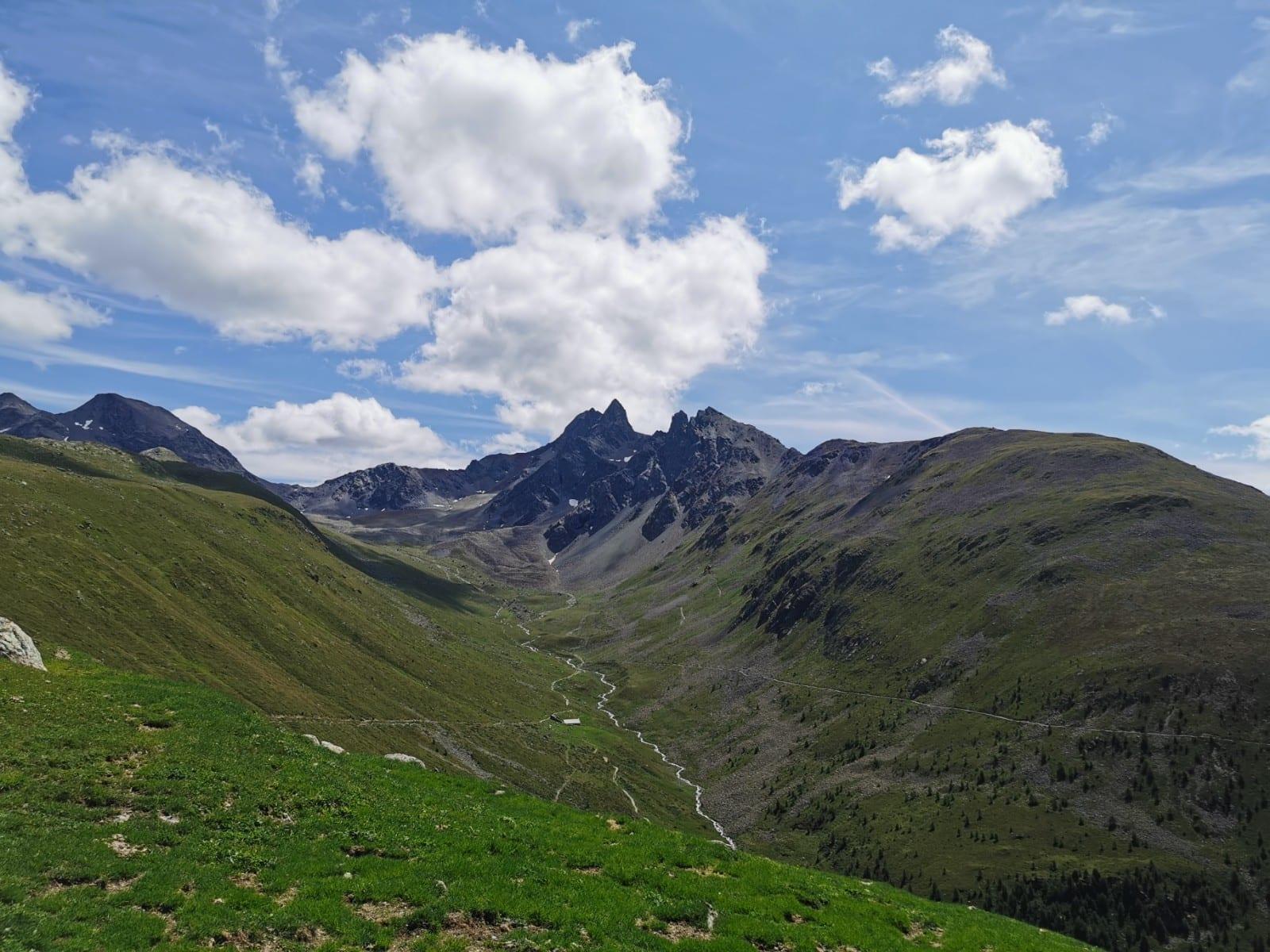

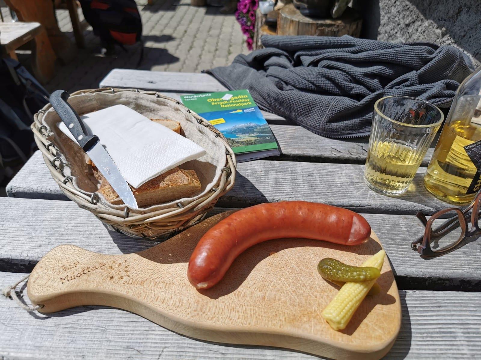


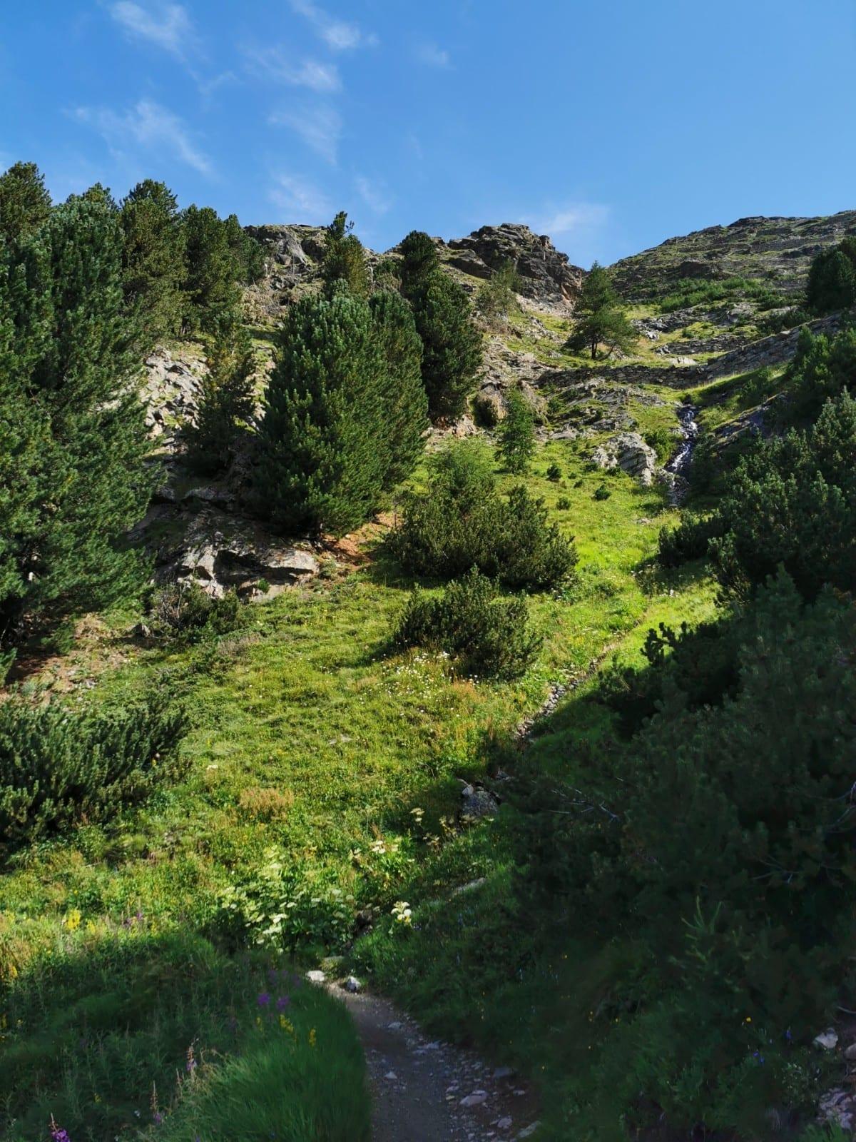

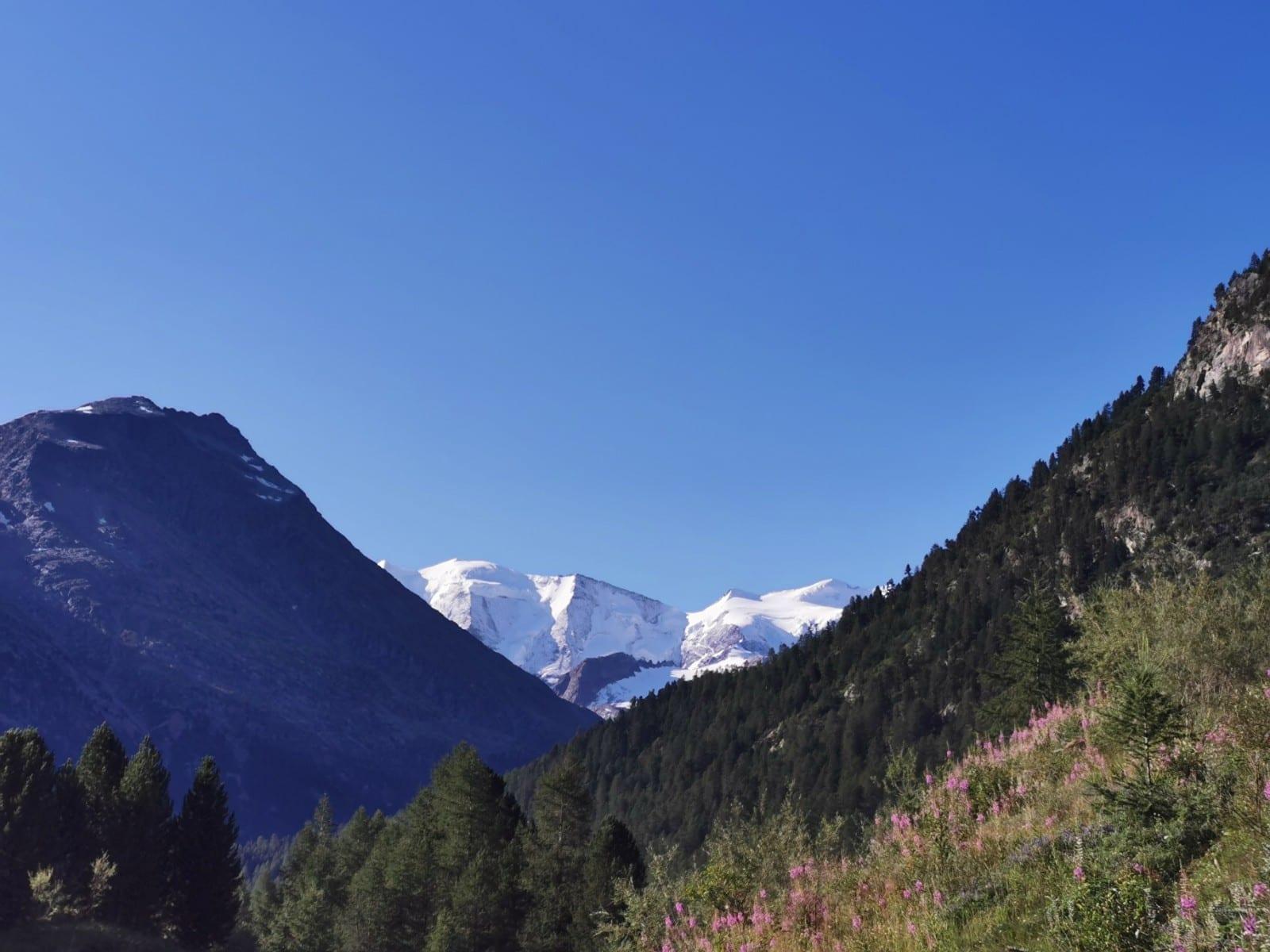

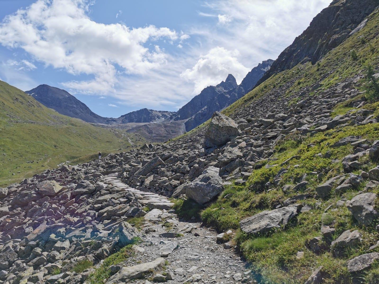
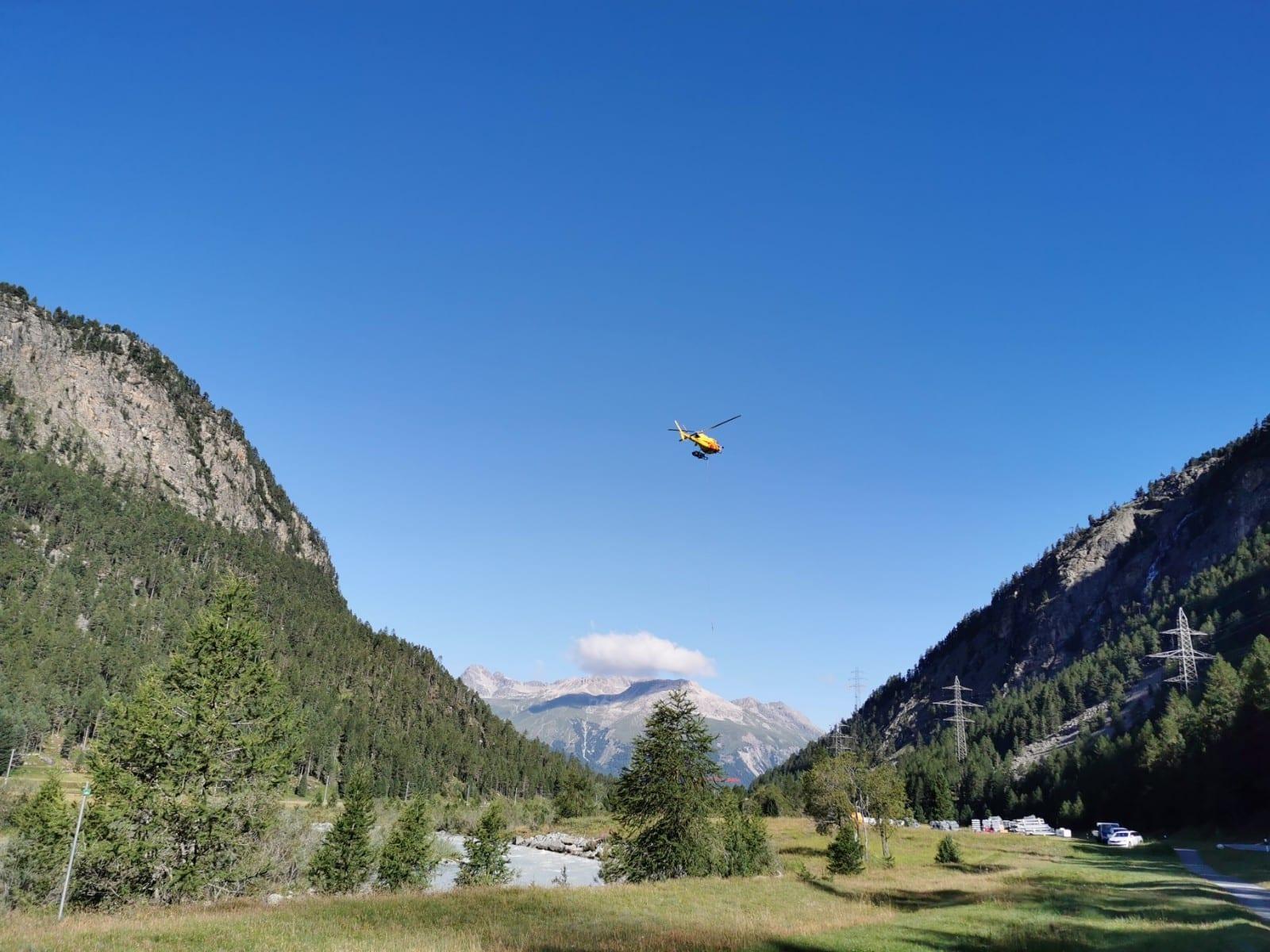


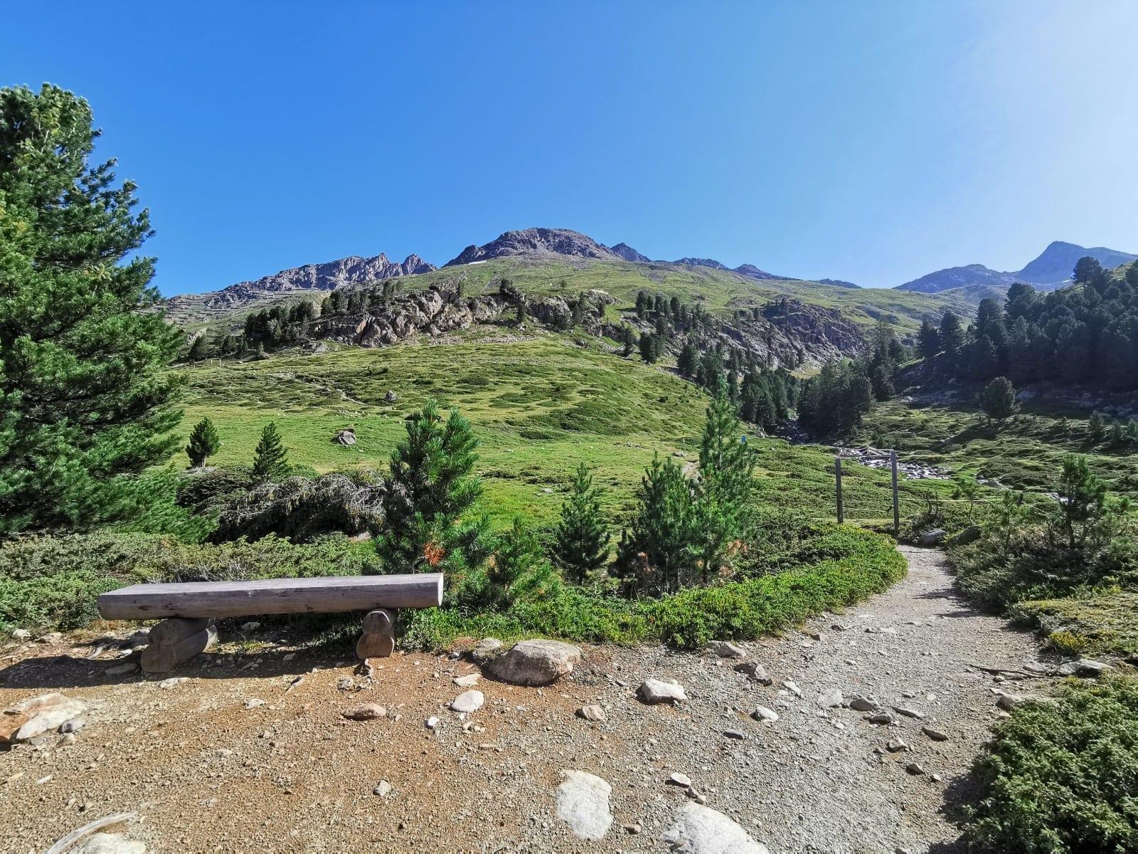

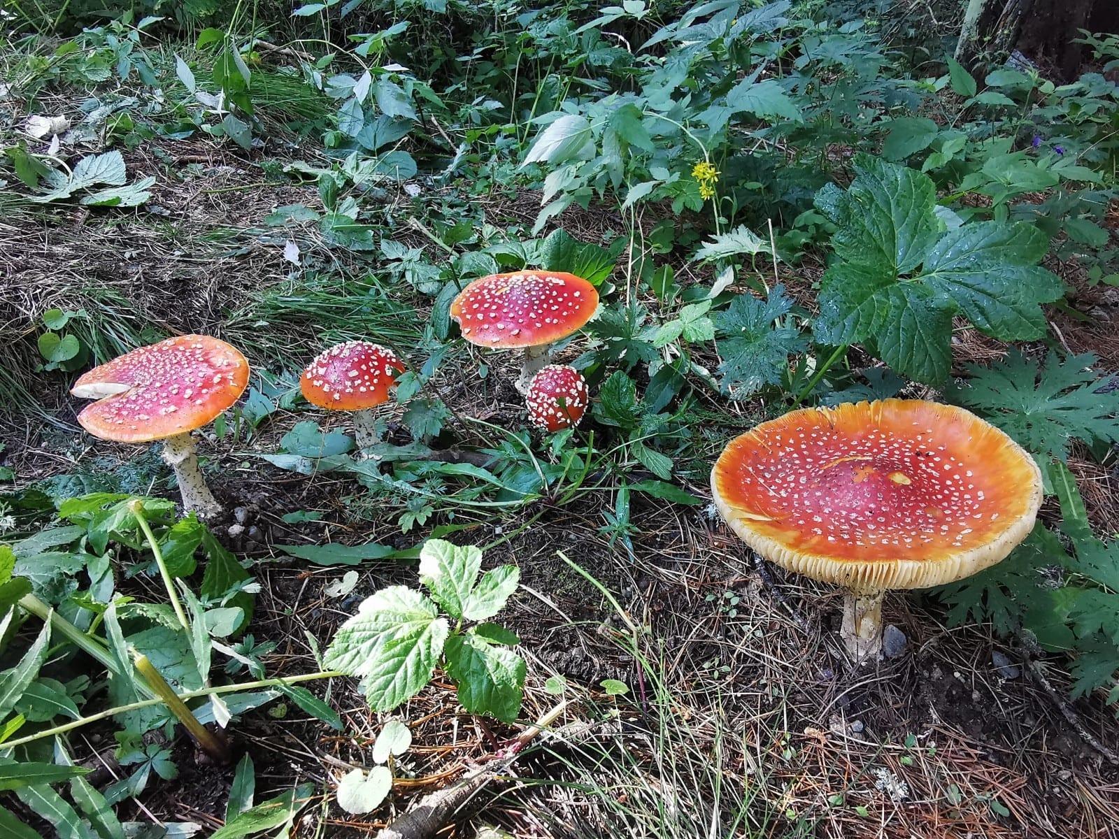
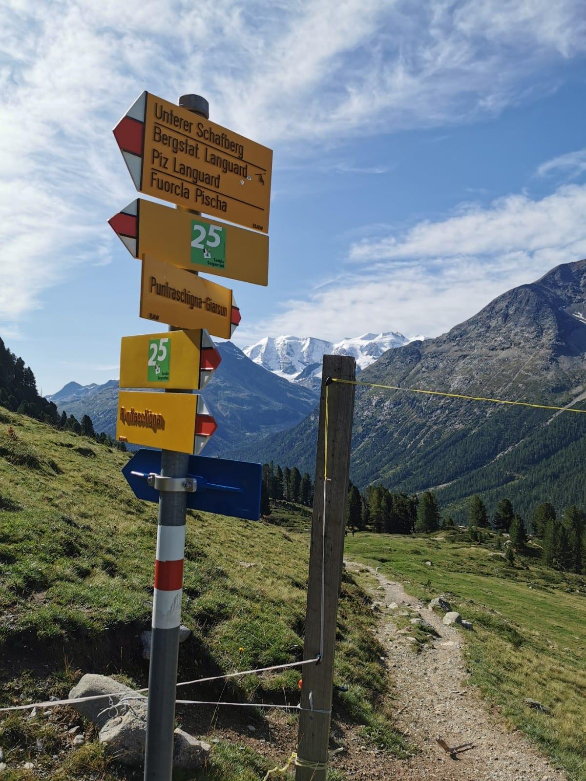
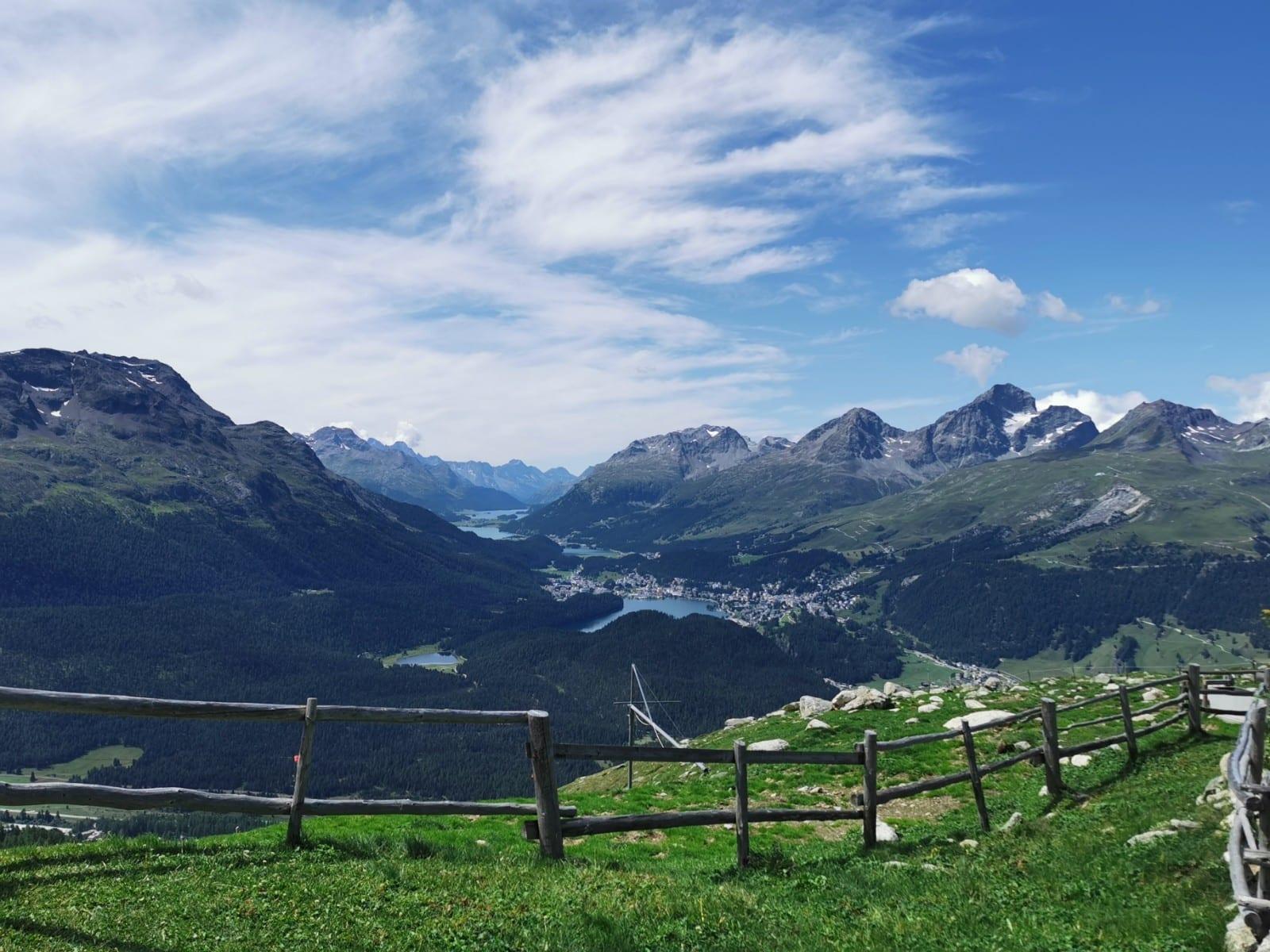


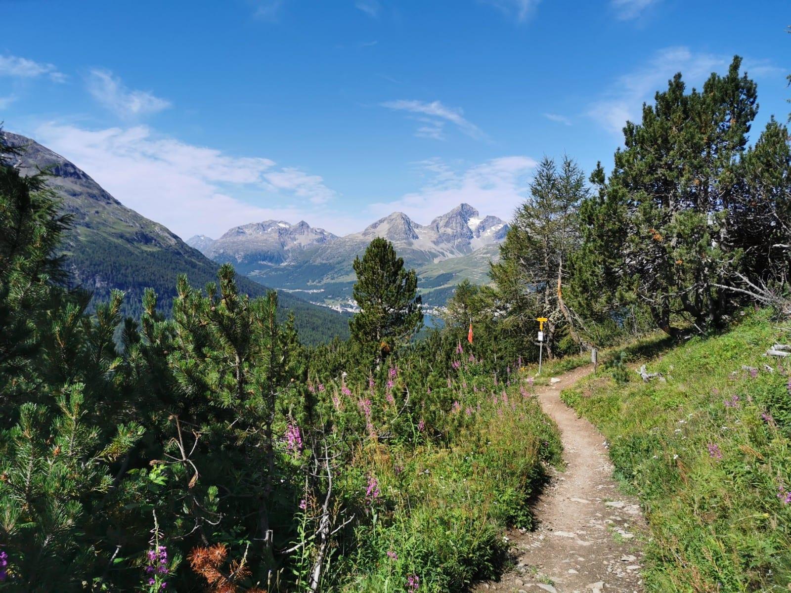

Map of the route “Camping Morteratsch – Alp Languard – Muottas Muragl”: 14.117 m, 894 m of climbing and 311 m of descent, elevation between 1.786 m and 2.406 m, time 04:23:00. It starts at 46.46042, 9.93359 and ends at 46.52194, 9.90243 (latitude, longitude).
Gesamtstrecke: 14117 m
Maximale Höhe: 2405 m
Minimale Höhe: 1785 m
Gesamtanstieg: 894 m
Gesamtabstieg: 311 m
Durchschnittsgeschwindigkeit: 12.03 min/km
Gesamtzeit: 04:23:00
Download file: activity_3949565782.gpx
Maximale Höhe: 2405 m
Minimale Höhe: 1785 m
Gesamtanstieg: 894 m
Gesamtabstieg: 311 m
Durchschnittsgeschwindigkeit: 12.03 min/km
Gesamtzeit: 04:23:00