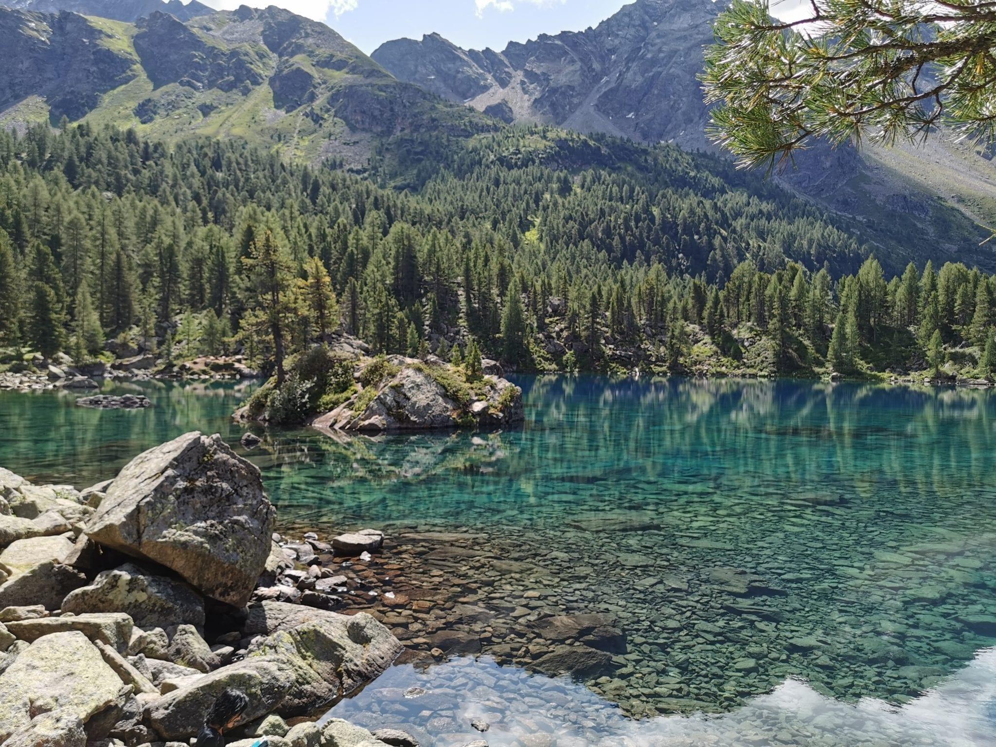


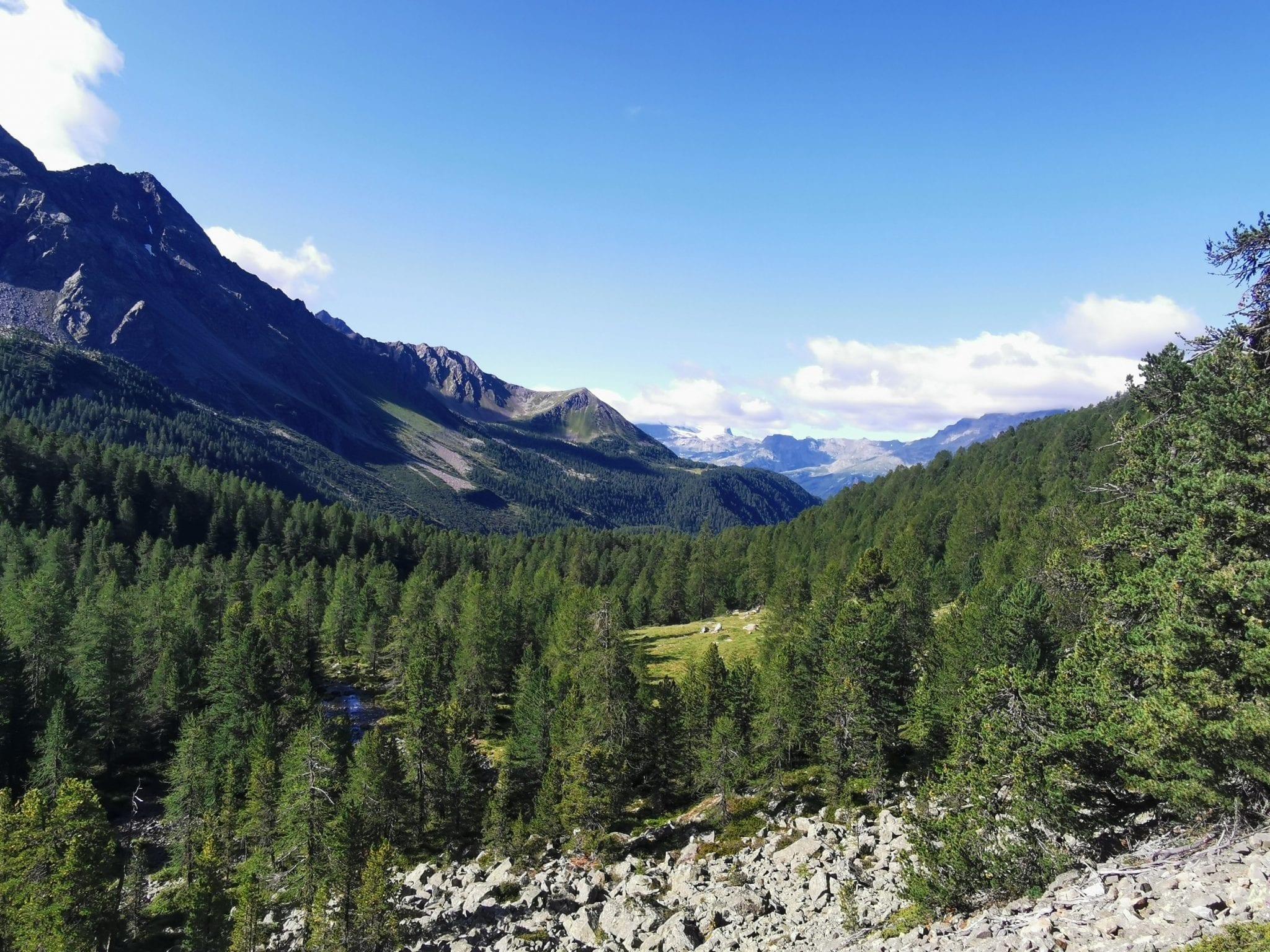

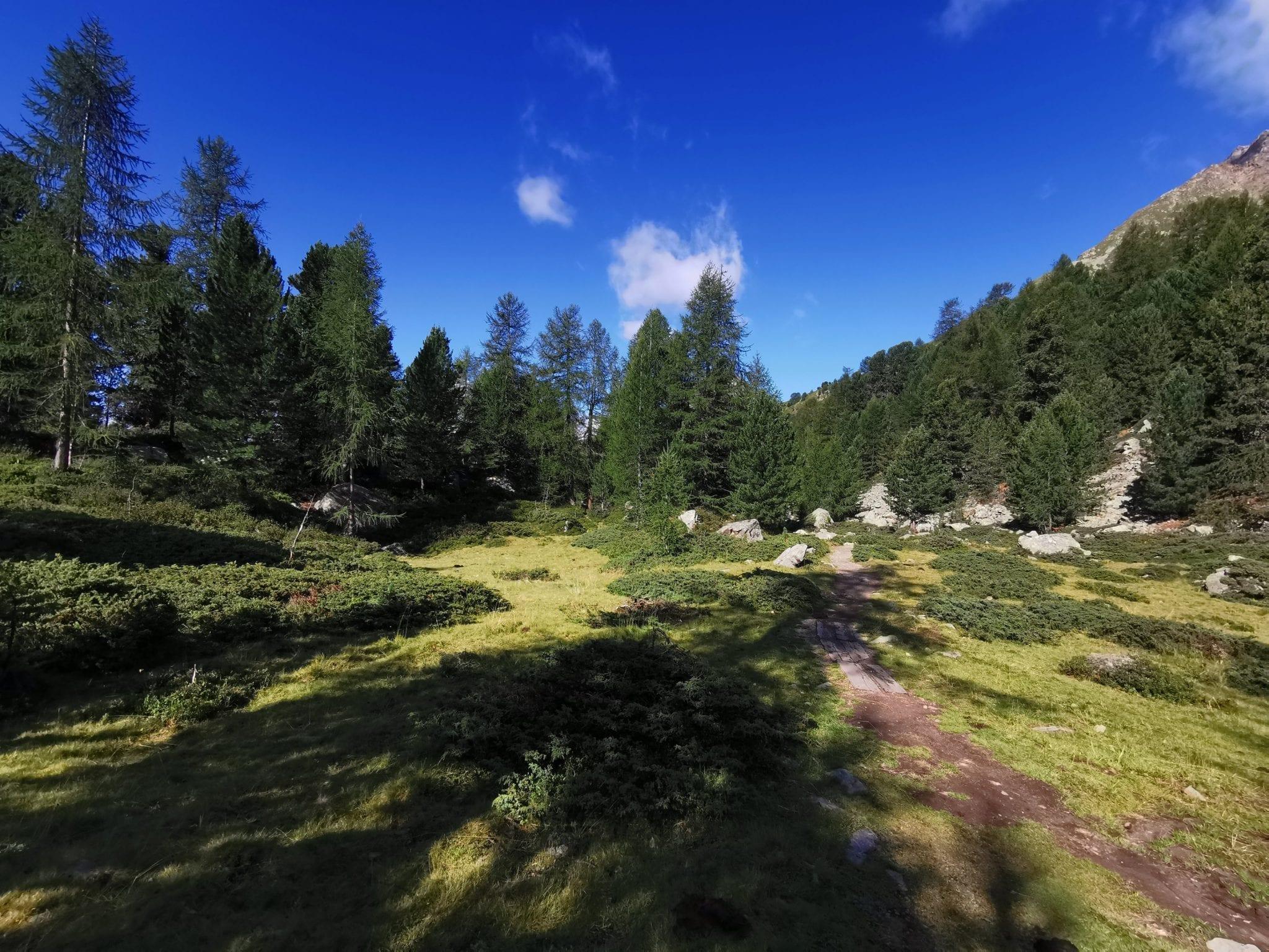
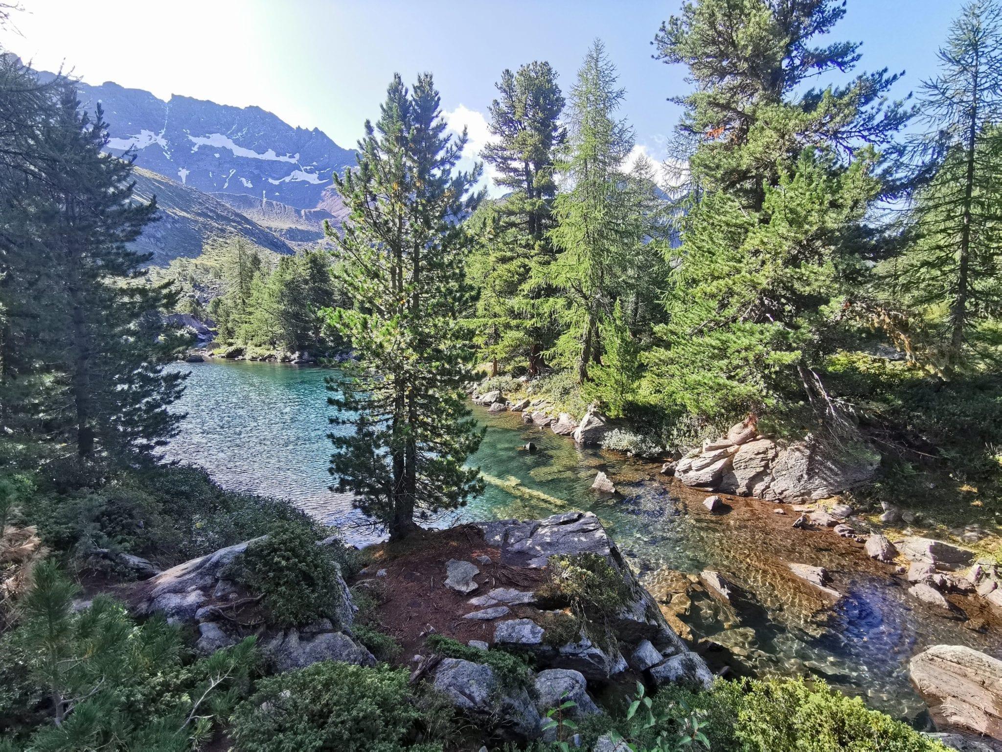

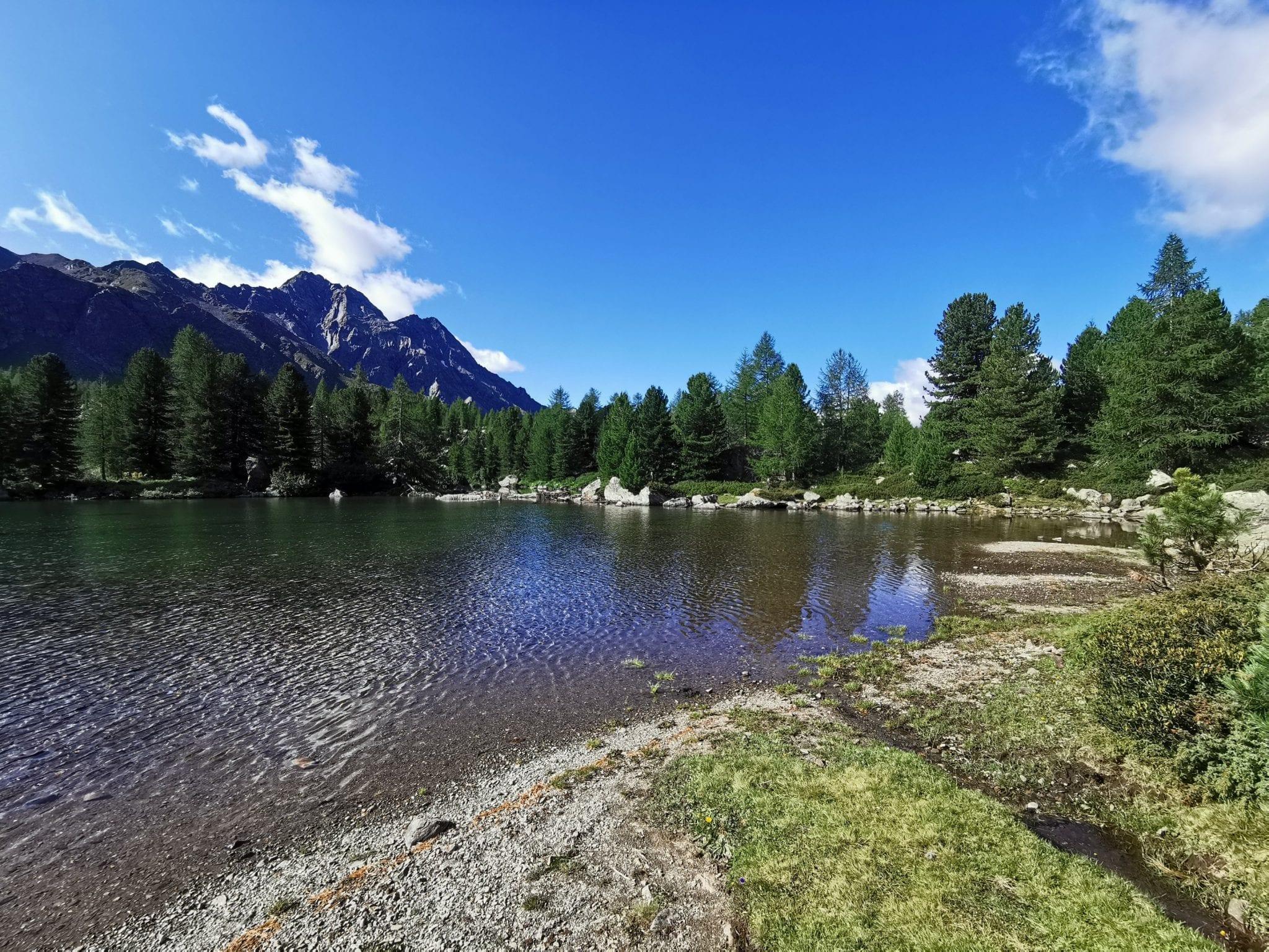


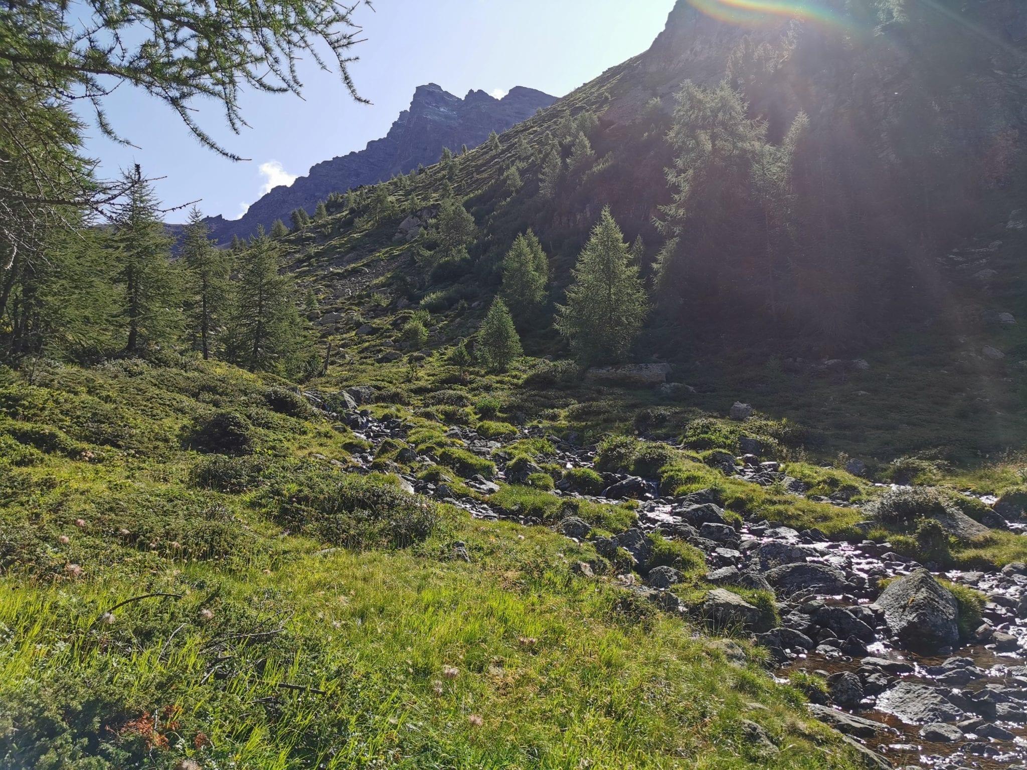


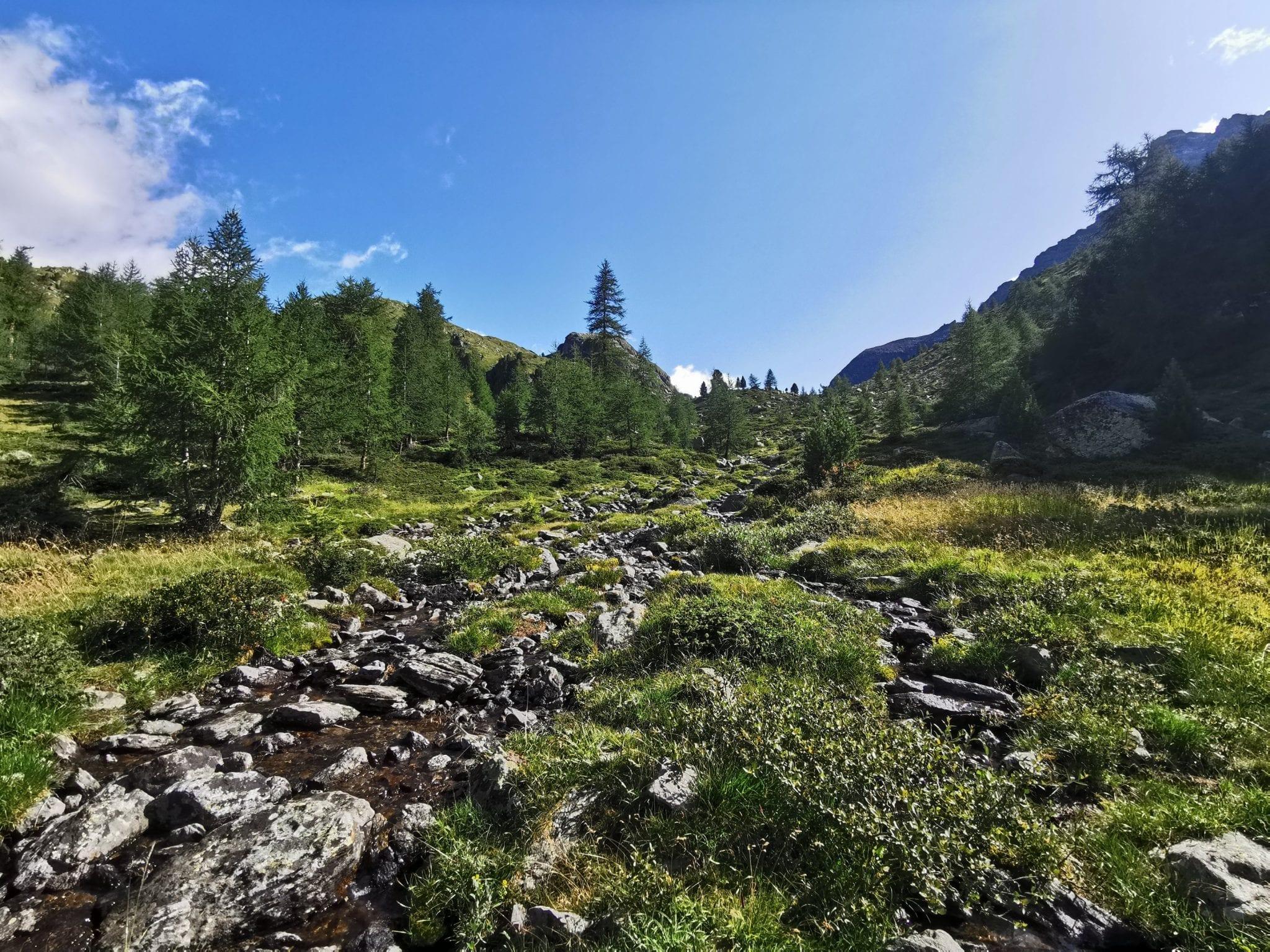
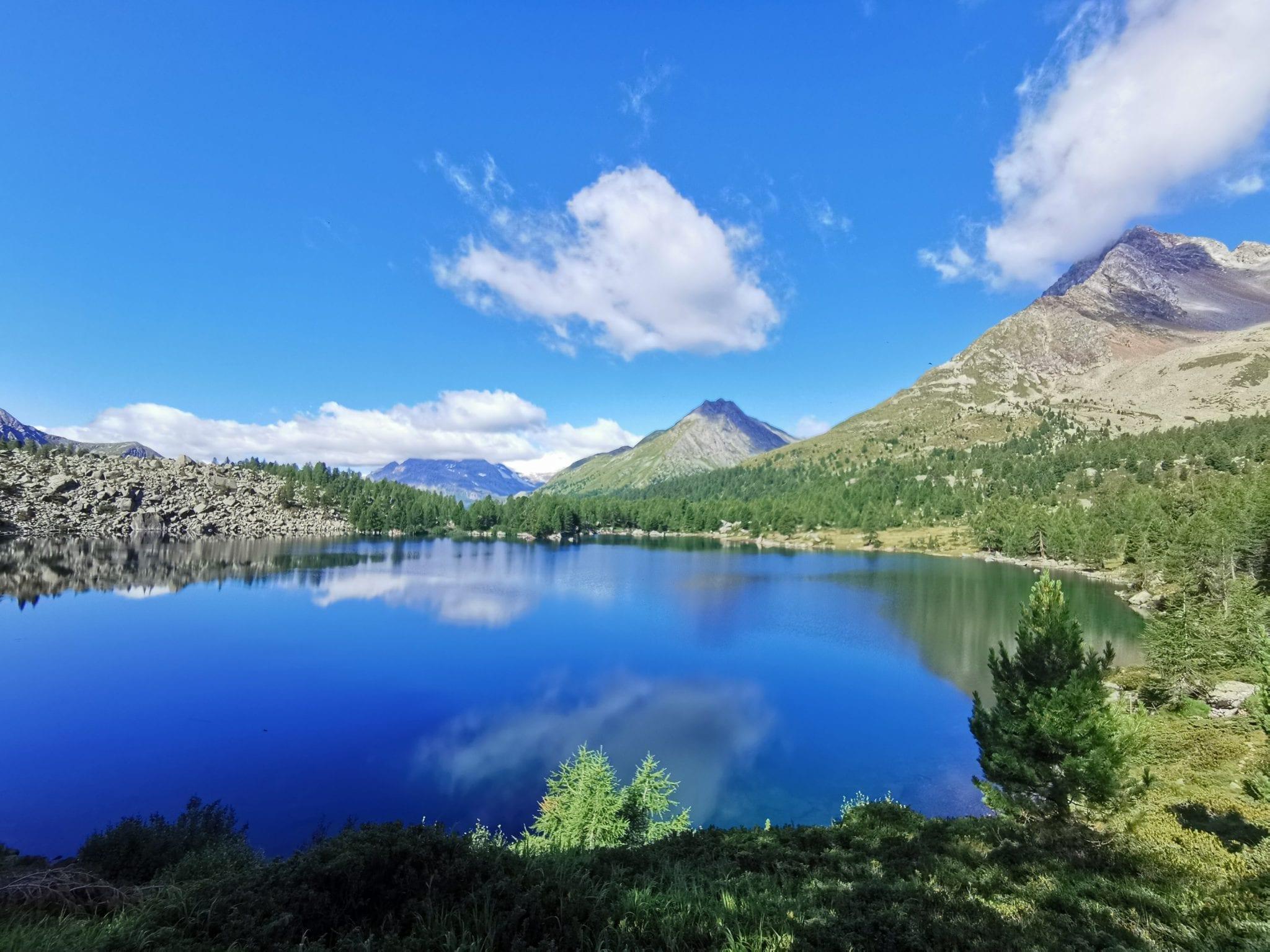


Map of the route “Von der Alp Camp zum Berninahospitz”: 19.375 m, 1.102 m of climbing and 866 m of descent, elevation between 1.763 m and 2.317 m, time 05:45:40. It starts at 46.40133, 10.11916 and ends at 46.41057, 10.02257 (latitude, longitude).
Gesamtstrecke: 19426 m
Maximale Höhe: 2317 m
Minimale Höhe: 1763 m
Gesamtanstieg: 1102 m
Gesamtabstieg: 866 m
Durchschnittsgeschwindigkeit: 13.28 min/km
Gesamtzeit: 05:45:40
Download file: activity_3956408833.gpx
Maximale Höhe: 2317 m
Minimale Höhe: 1763 m
Gesamtanstieg: 1102 m
Gesamtabstieg: 866 m
Durchschnittsgeschwindigkeit: 13.28 min/km
Gesamtzeit: 05:45:40


