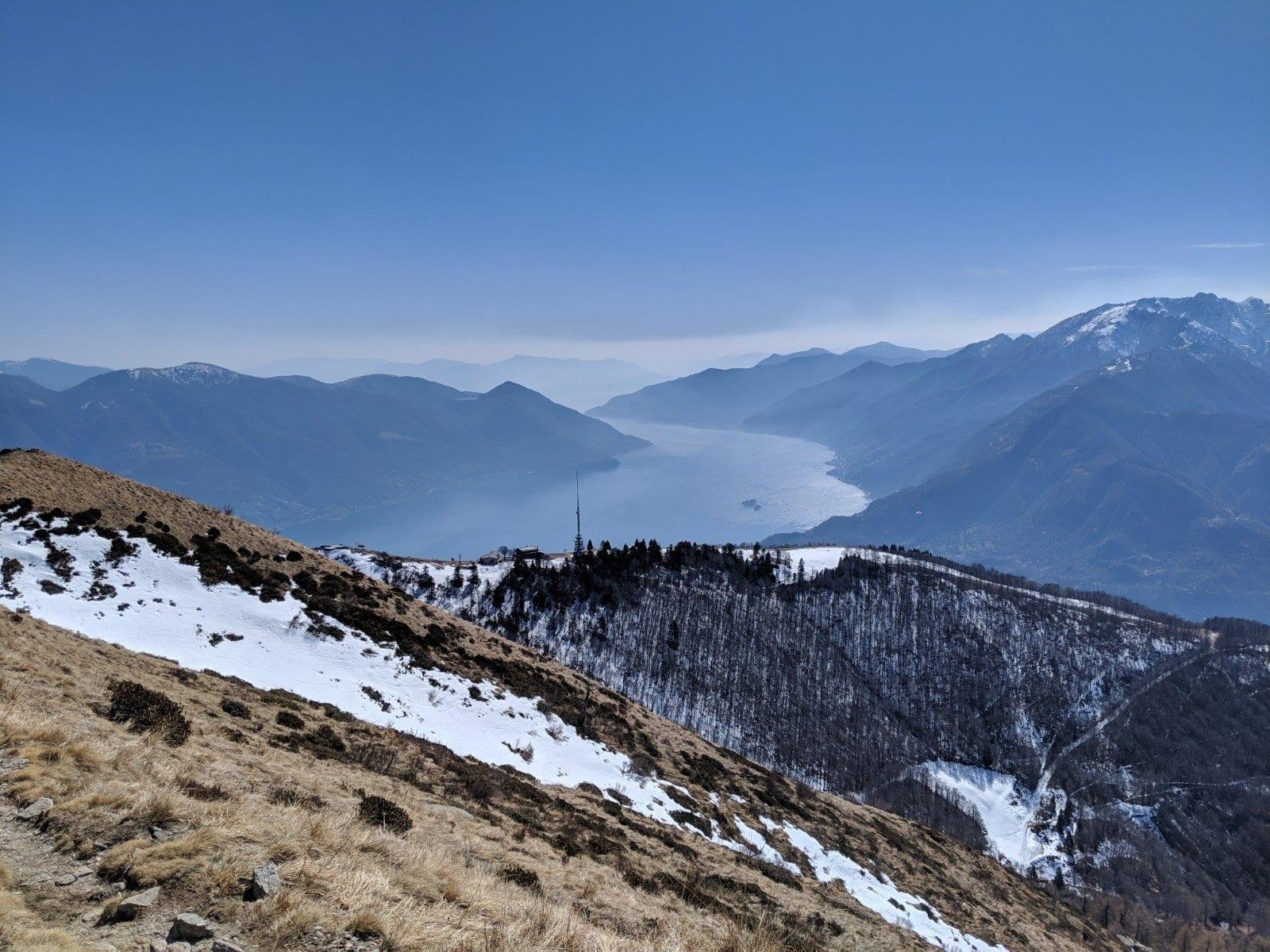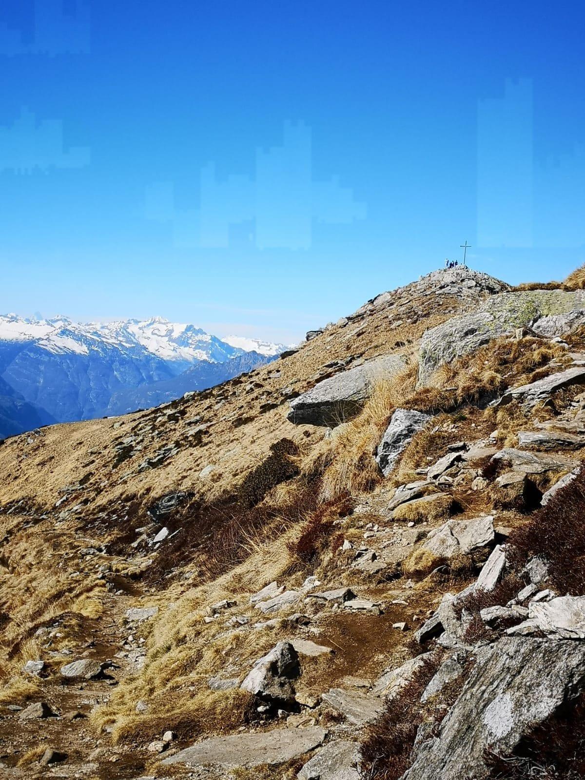
Map of the route “Locarno-Cimetta Hike”: 10.643 m, 812 m of climbing and 719 m of descent, elevation between 1.330 m and 1.844 m, time 03:28:55. It starts at 46.19089, 8.78178 and ends at 46.20103, 8.78931 (latitude, longitude).
Gesamtstrecke: 10658 m
Maximale Höhe: 1844 m
Minimale Höhe: 1325 m
Gesamtanstieg: 812 m
Gesamtabstieg: 719 m
Durchschnittsgeschwindigkeit: 12.32 min/km
Gesamtzeit: 03:29:05
Download file: activity_3513127399.gpx
Maximale Höhe: 1844 m
Minimale Höhe: 1325 m
Gesamtanstieg: 812 m
Gesamtabstieg: 719 m
Durchschnittsgeschwindigkeit: 12.32 min/km
Gesamtzeit: 03:29:05