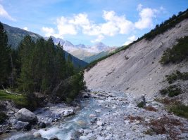
Traumhafte Wanderung auf dem Pizol mit bester Sicht. Allerdings darf man sich nicht ab weiteren Wanderern stören, denn Zeitweise geht es im Gänsemarsch bergauf.


Map of the route “5 Seen Wanderung Pizol”: 16.683 m, 860 m of climbing and 2.525 m of descent, elevation between 537 m and 2.511 m, time 06:38:51. It starts at 46.98014, 9.43255 and ends at 47.02866, 9.43222 (latitude, longitude).
Gesamtstrecke: 16677 m
Maximale Höhe: 2514 m
Minimale Höhe: 535 m
Gesamtanstieg: 860 m
Gesamtabstieg: 2525 m
Durchschnittsgeschwindigkeit: 9.33 min/km
Gesamtzeit: 06:37:47
Download file: activity_3321414297.gpx
Maximale Höhe: 2514 m
Minimale Höhe: 535 m
Gesamtanstieg: 860 m
Gesamtabstieg: 2525 m
Durchschnittsgeschwindigkeit: 9.33 min/km
Gesamtzeit: 06:37:47