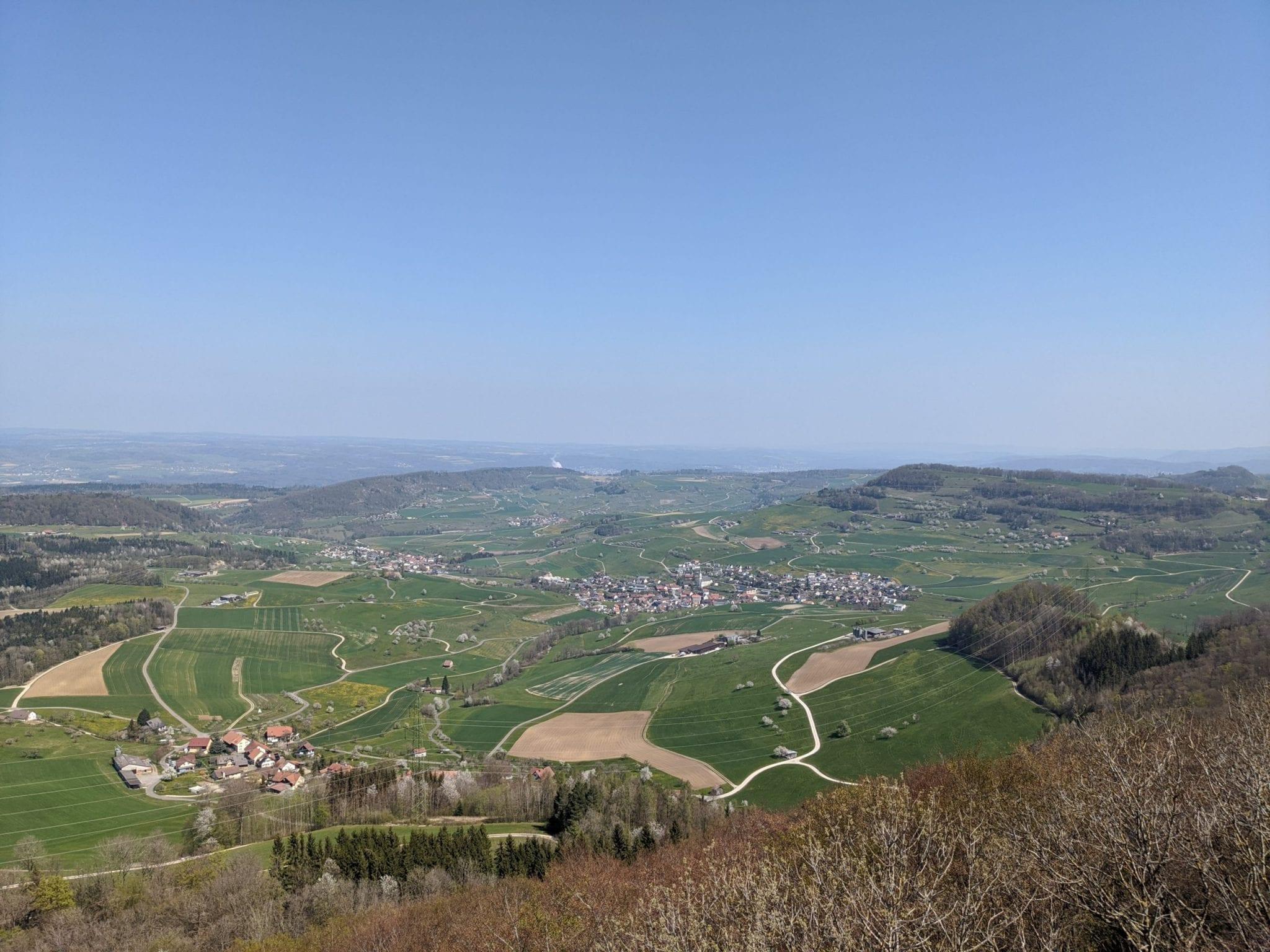
Map of the route “Bözberg Rundwanderung”: 10.728 m, 382 m of climbing and 384 m of descent, elevation between 580 m and 686 m, time 03:04:04. It is a loop that starts and ends at 47.50103, 8.14302 (latitude, longitude).
Gesamtstrecke: 10752 m
Maximale Höhe: 687 m
Minimale Höhe: 580 m
Gesamtanstieg: 382 m
Gesamtabstieg: 384 m
Durchschnittsgeschwindigkeit: 12.29 min/km
Gesamtzeit: 03:04:31
Download file: bözberg_hiking.gpx
Maximale Höhe: 687 m
Minimale Höhe: 580 m
Gesamtanstieg: 382 m
Gesamtabstieg: 384 m
Durchschnittsgeschwindigkeit: 12.29 min/km
Gesamtzeit: 03:04:31