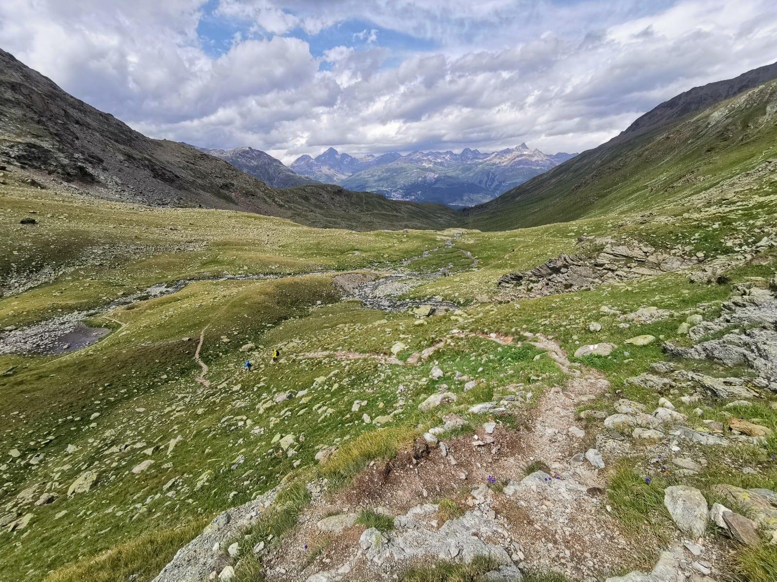
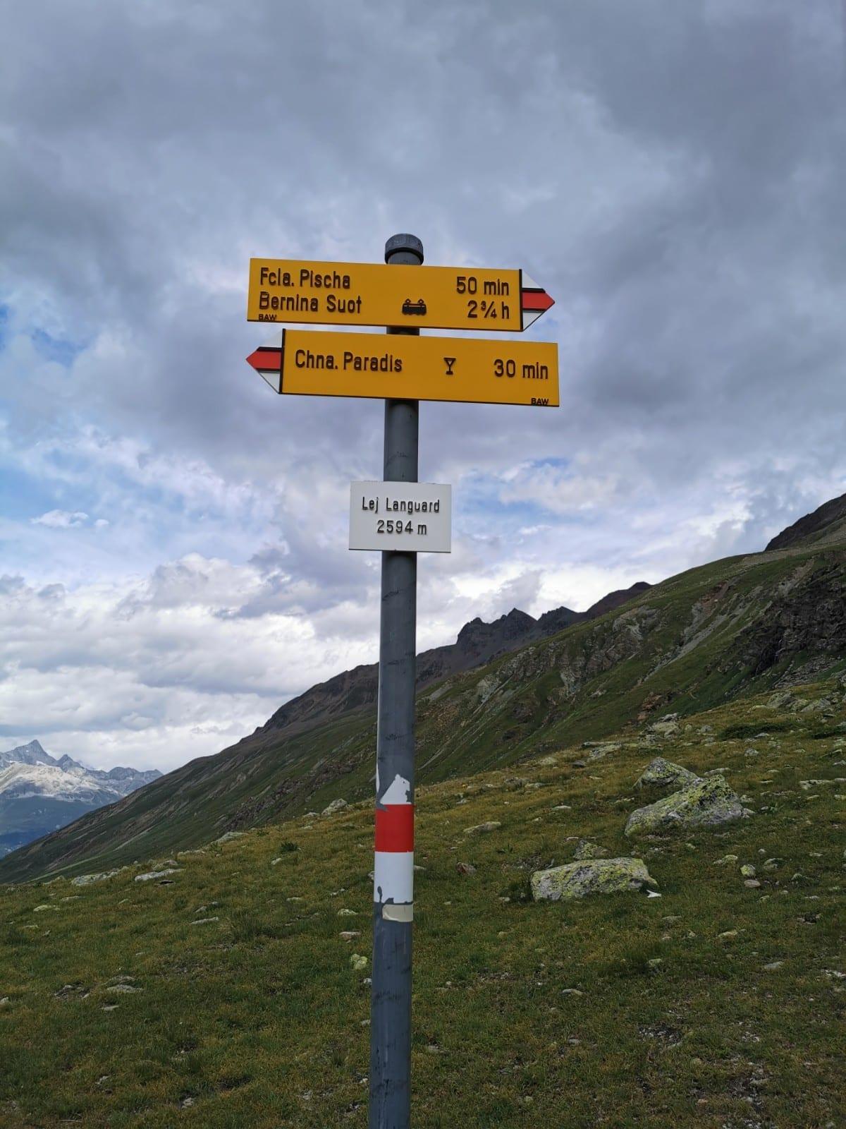
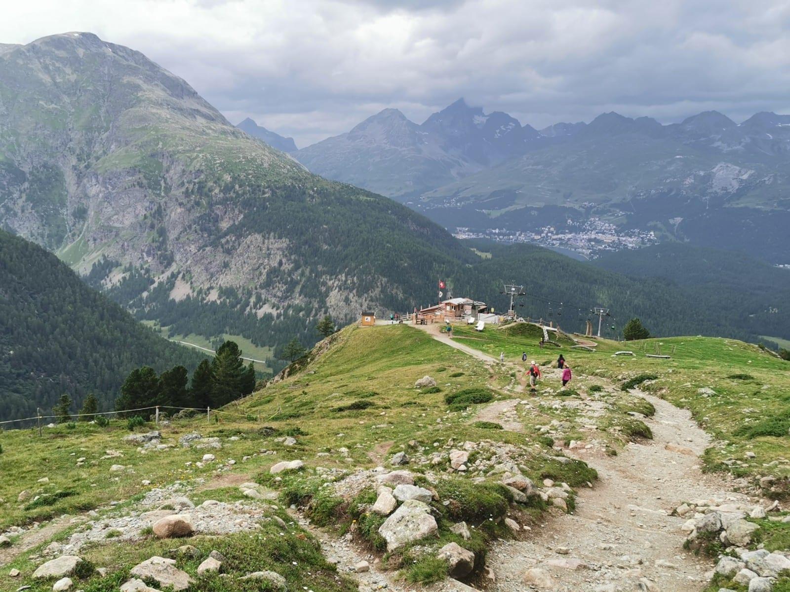
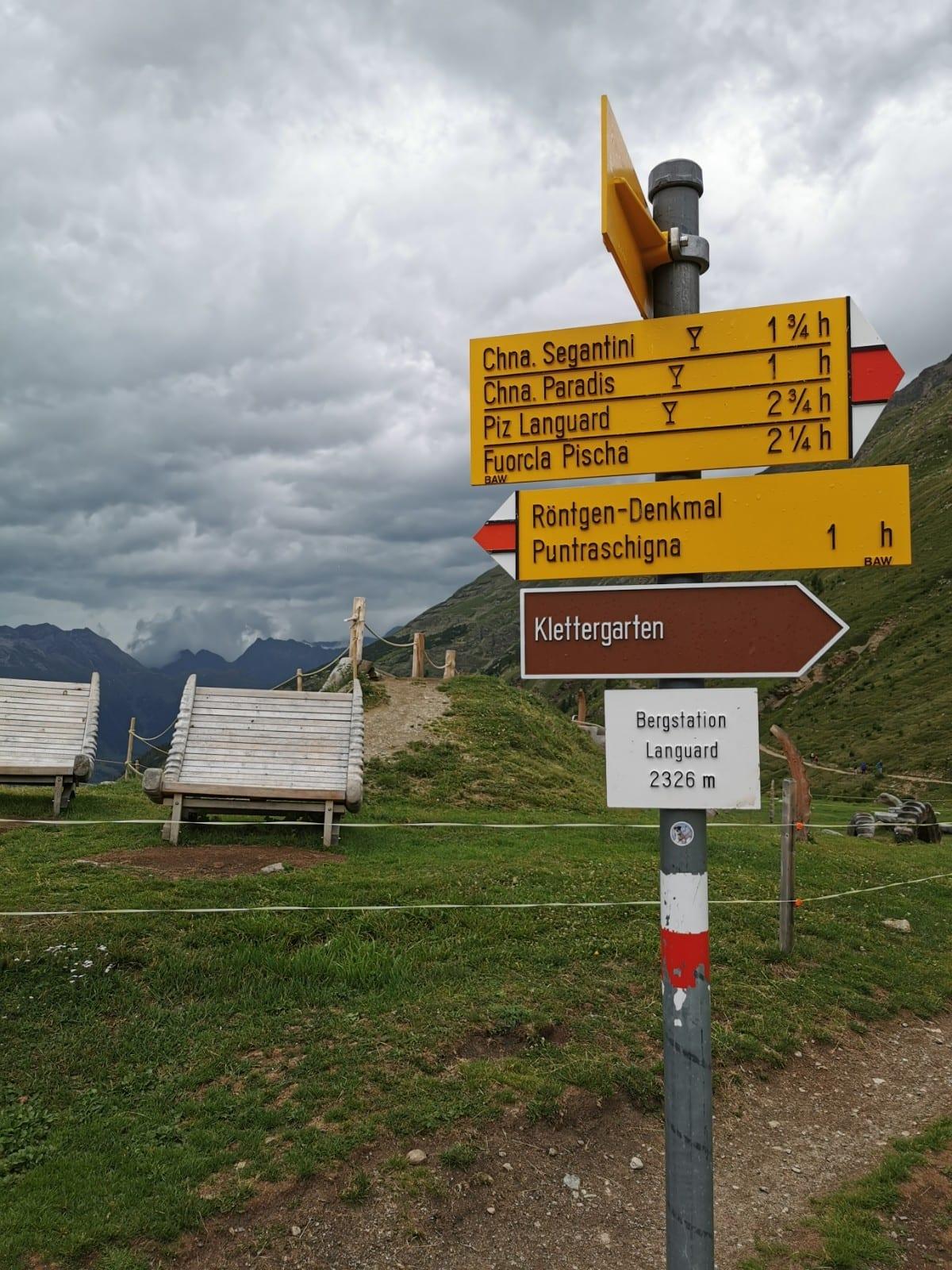
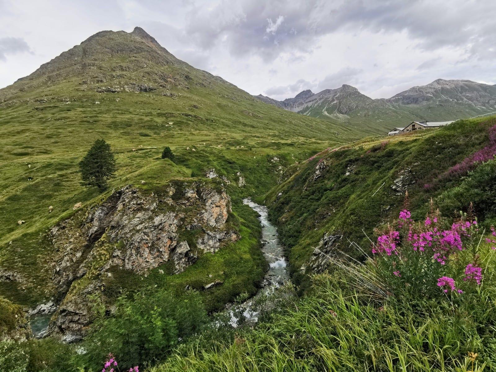
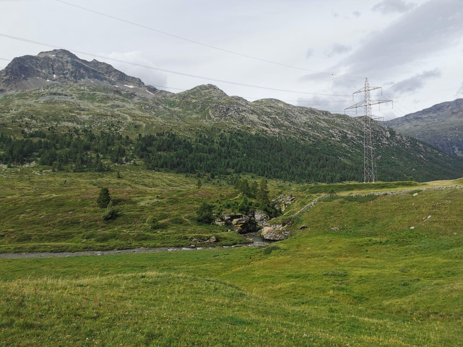
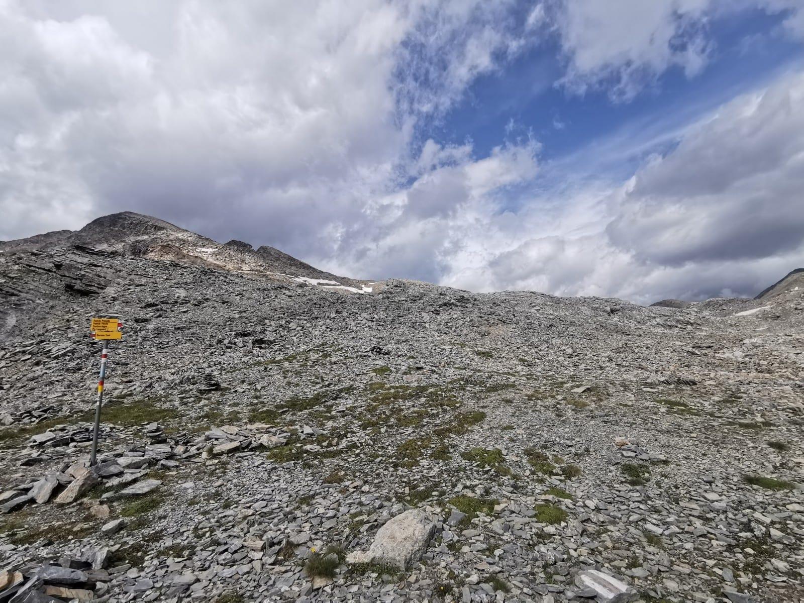
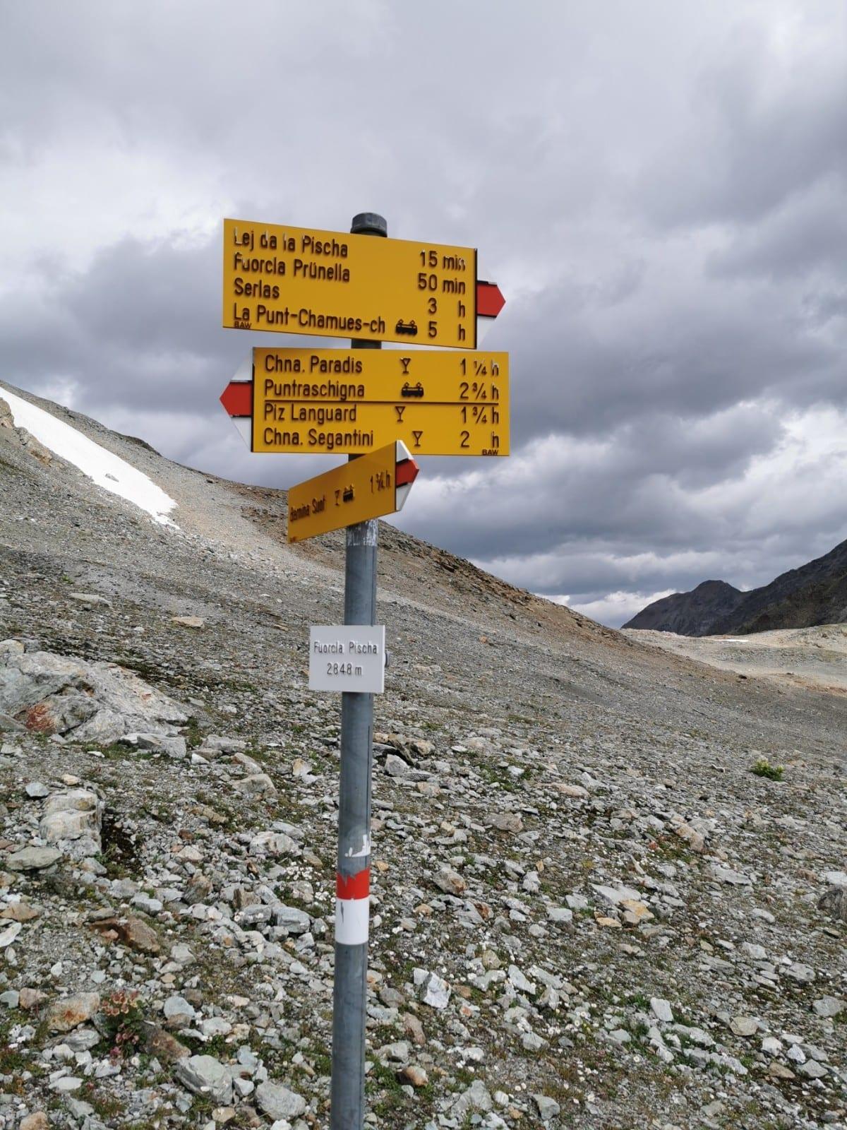
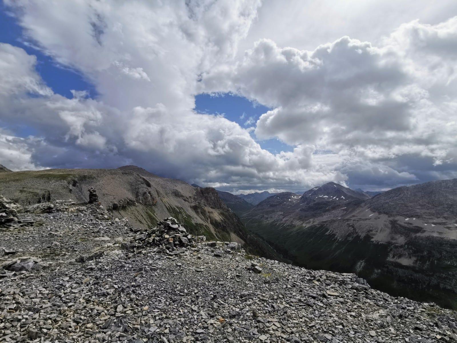
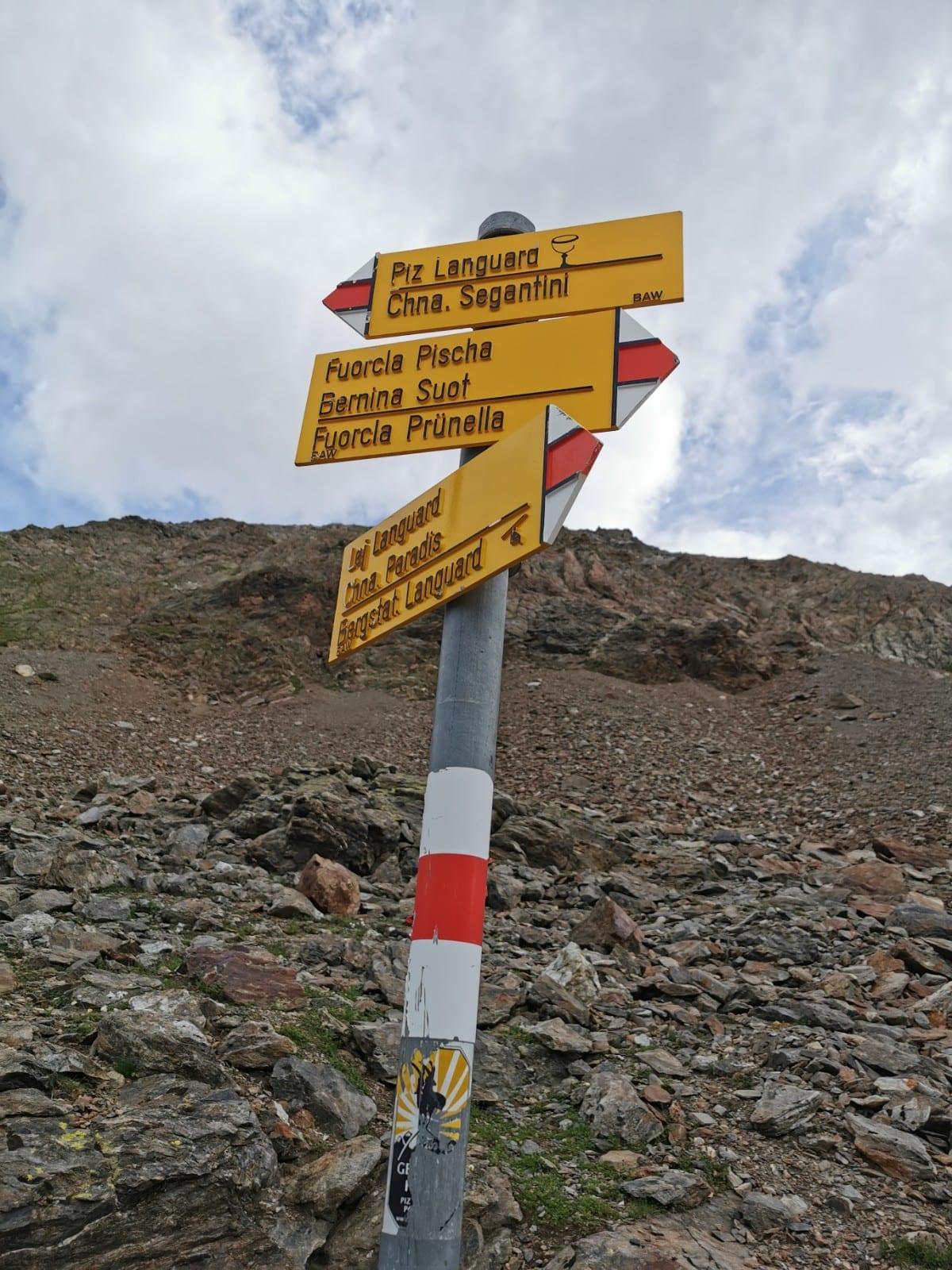
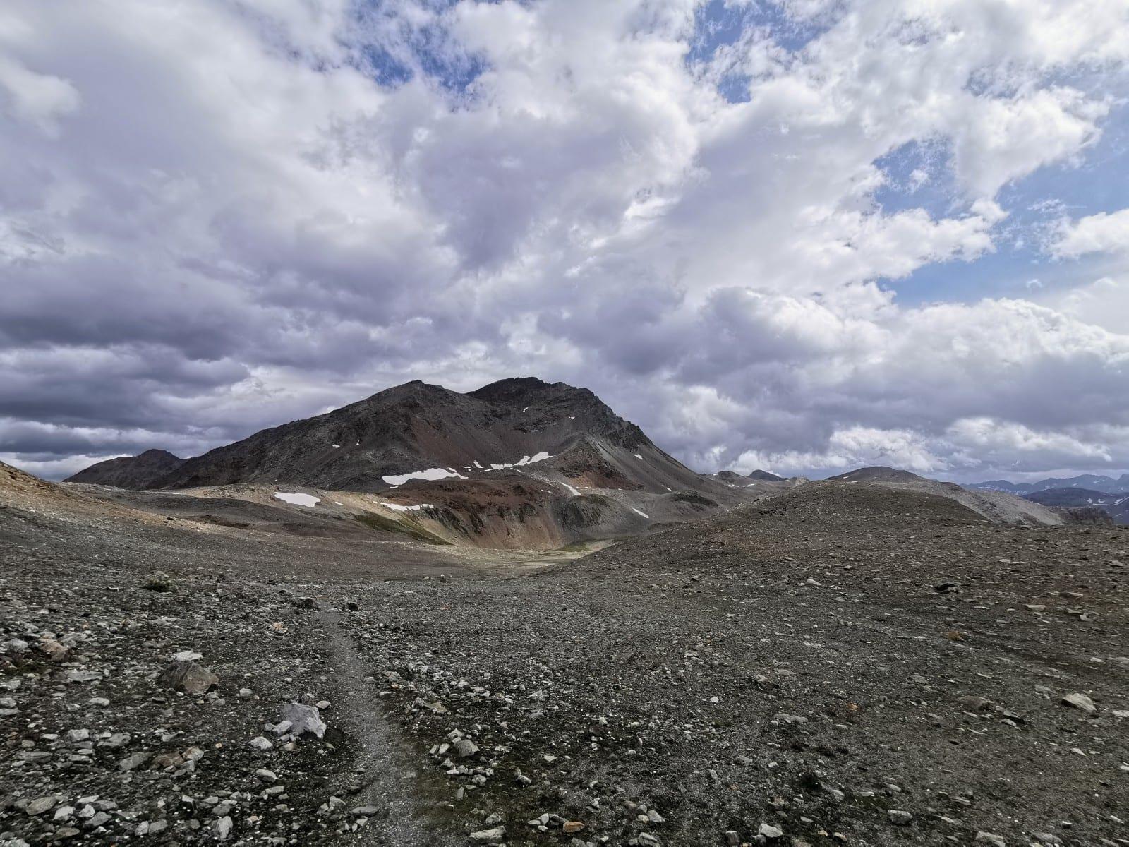
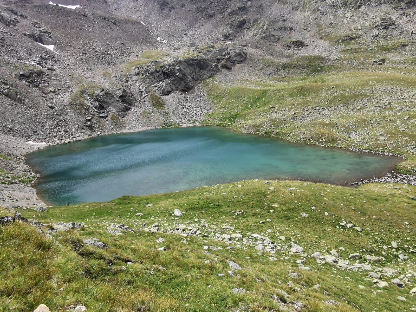
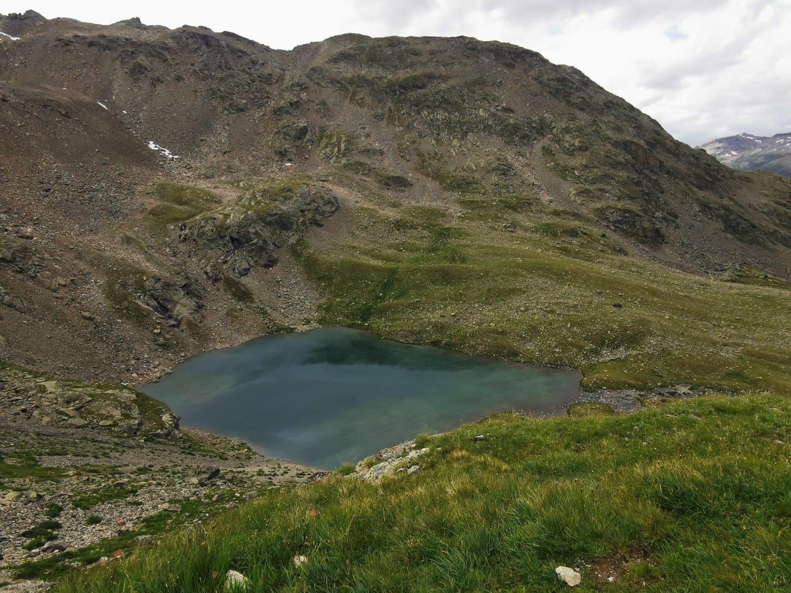
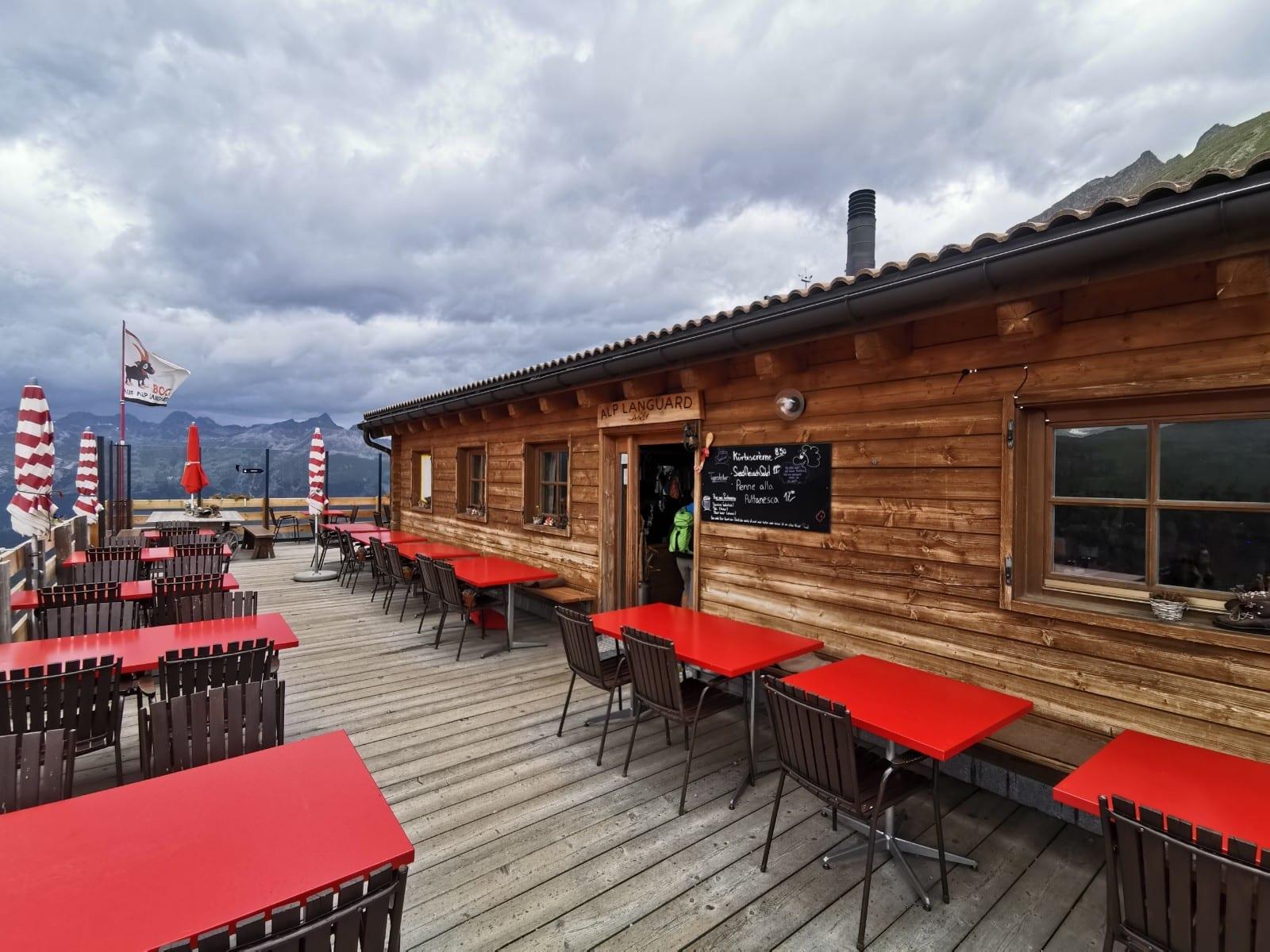
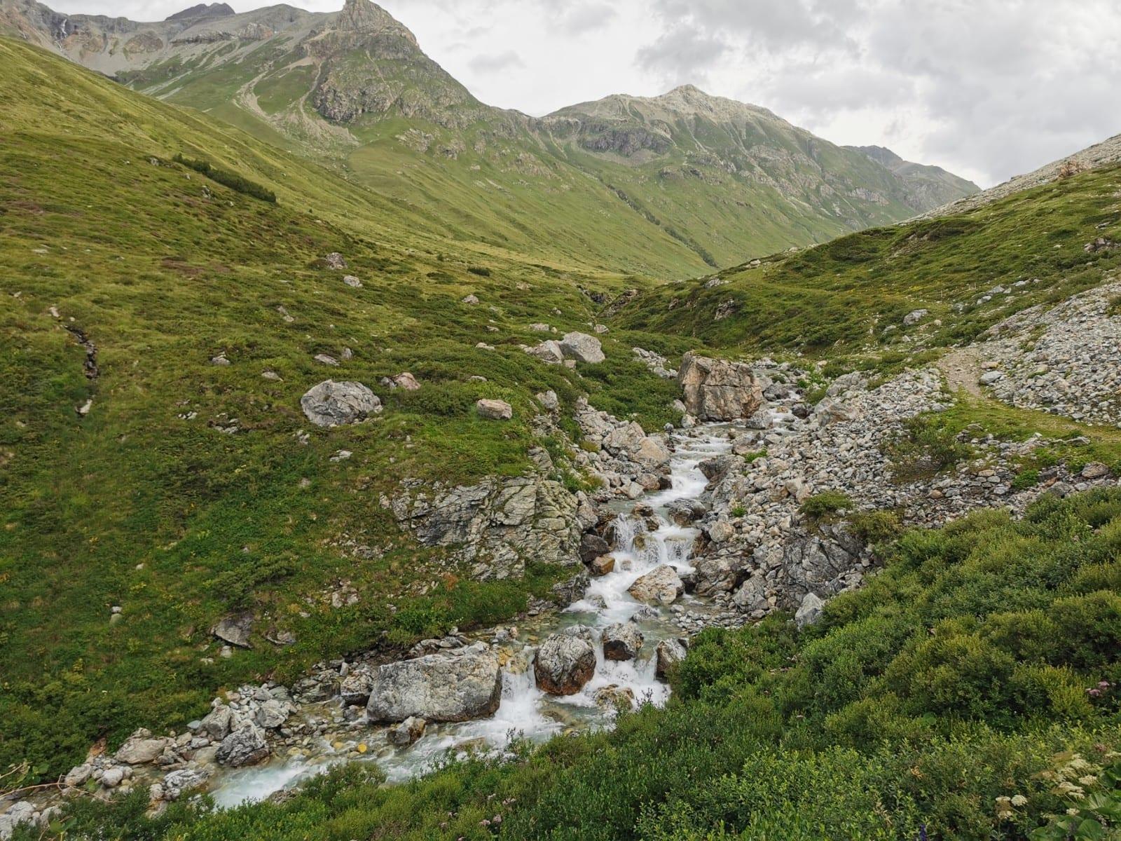
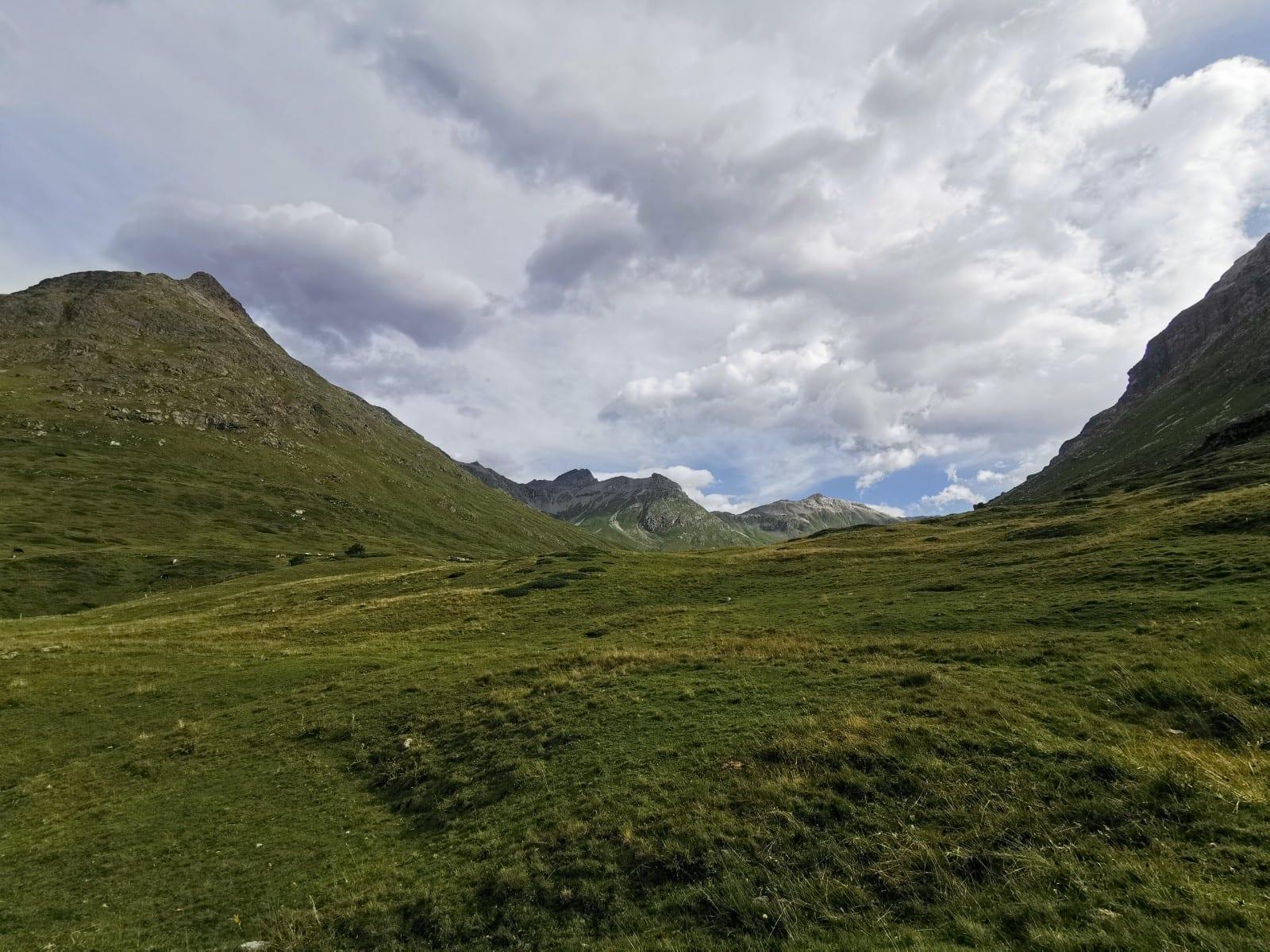
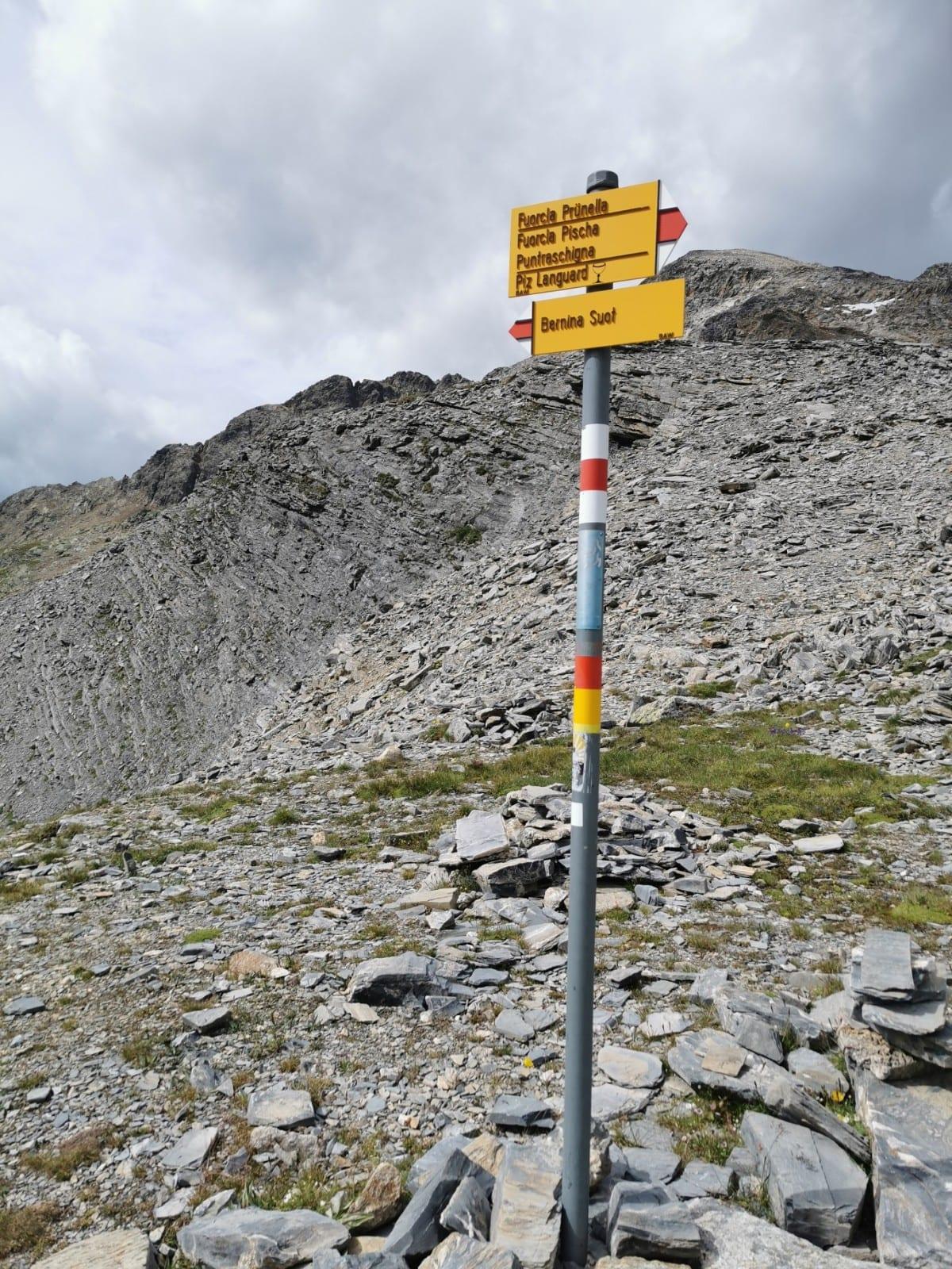
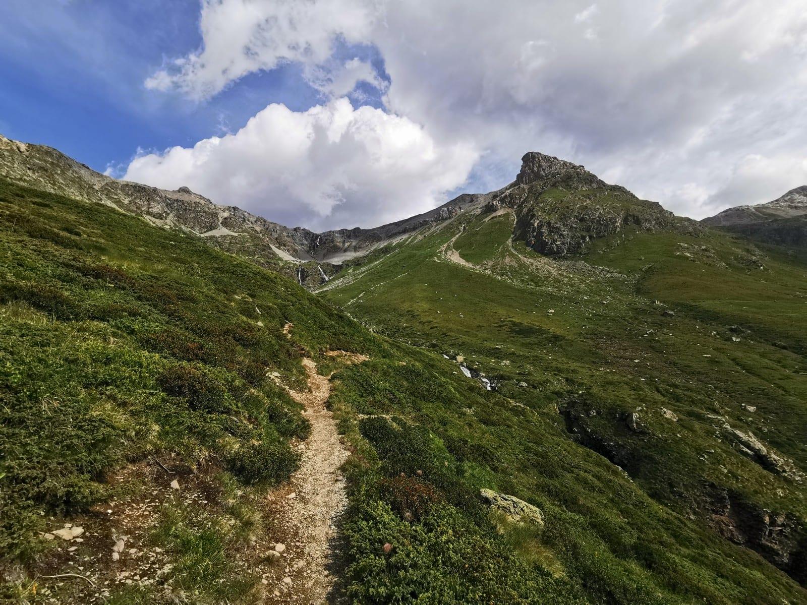
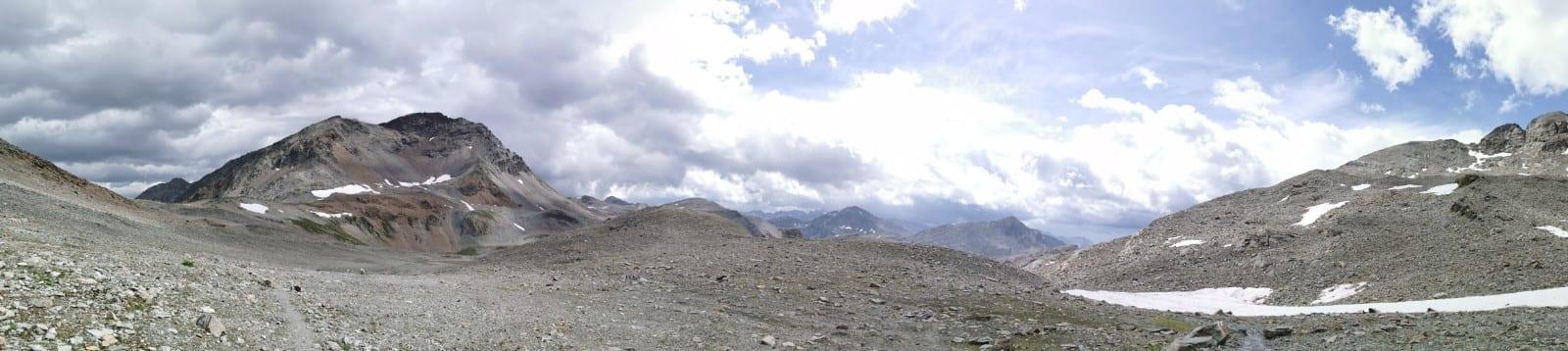
Map of the route “Diavolezza Bahnhof – Lej Languard – Alp Languard”: 11.542 m, 1.061 m of climbing and 809 m of descent, elevation between 2.077 m and 2.856 m, time 03:22:09. It starts at 46.44215, 9.98396 and ends at 46.48761, 9.92180 (latitude, longitude).
Gesamtstrecke: 11580 mDownload file: activity_3942118874.gpx
Maximale Höhe: 2856 m
Minimale Höhe: 2076 m
Gesamtanstieg: 1061 m
Gesamtabstieg: 809 m
Durchschnittsgeschwindigkeit: 14.24 min/km
Gesamtzeit: 03:23:11