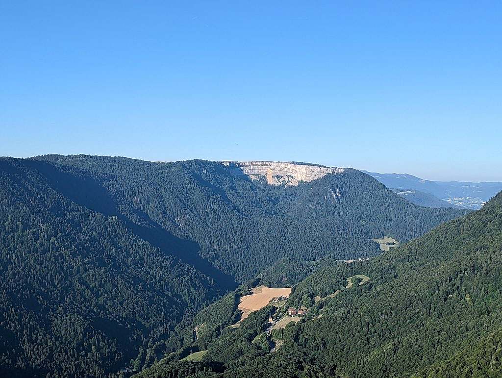
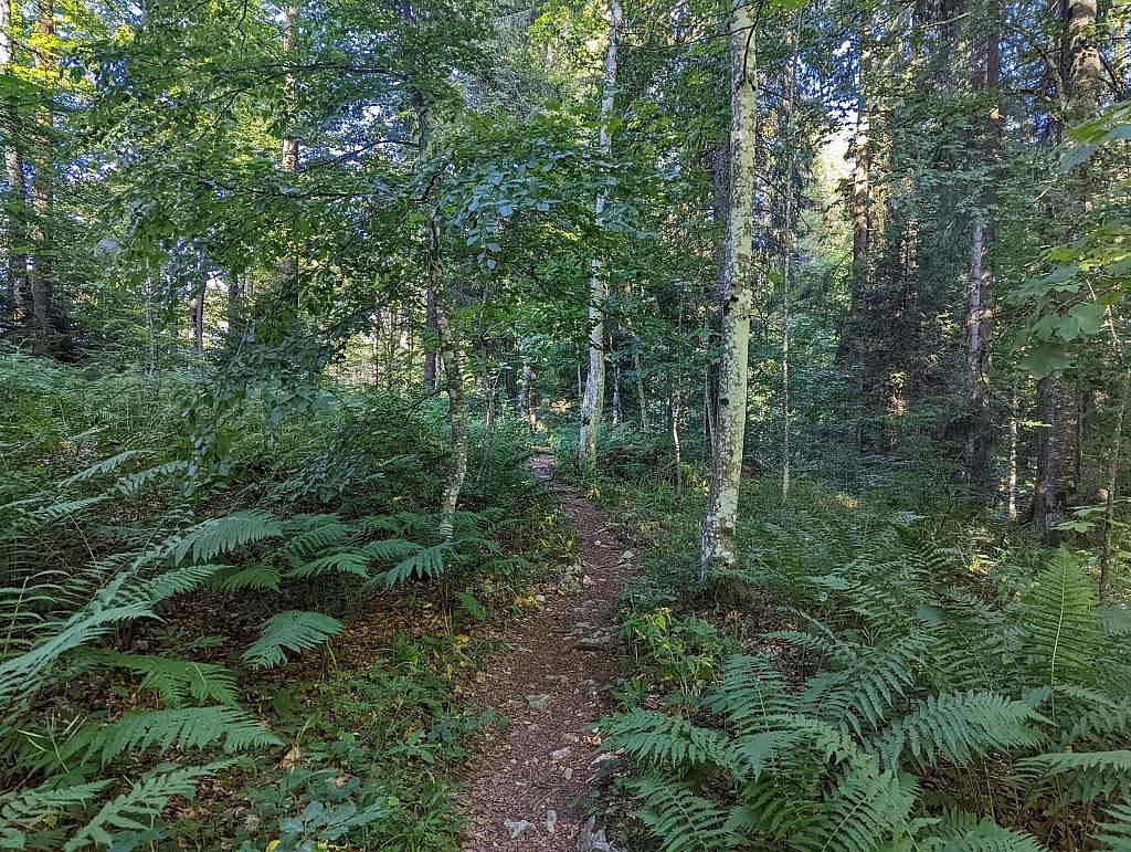
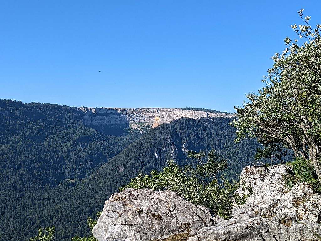
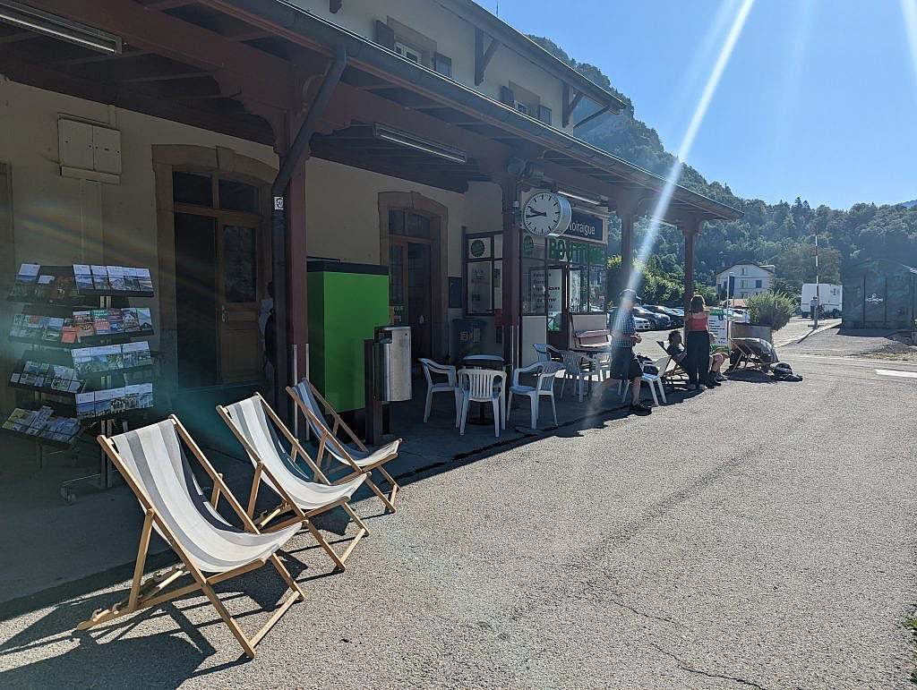
Map of the route “Jura Höhenweg Etappe 9 Teil 2”: 19.930 m, 763 m of climbing and 1.024 m of descent, elevation between 889 m and 1.549 m, time 04:24:39. It starts at 47.12817, 7.04678 and ends at 47.07350, 6.87058 (latitude, longitude).
Gesamtstrecke: 19999 m
Maximale Höhe: 1549 m
Minimale Höhe: 889 m
Gesamtanstieg: 763 m
Gesamtabstieg: 1024 m
Durchschnittsgeschwindigkeit: 12.15 min/km
Gesamtzeit: 04:24:51
Download file: activity_9214222126.gpx
Maximale Höhe: 1549 m
Minimale Höhe: 889 m
Gesamtanstieg: 763 m
Gesamtabstieg: 1024 m
Durchschnittsgeschwindigkeit: 12.15 min/km
Gesamtzeit: 04:24:51