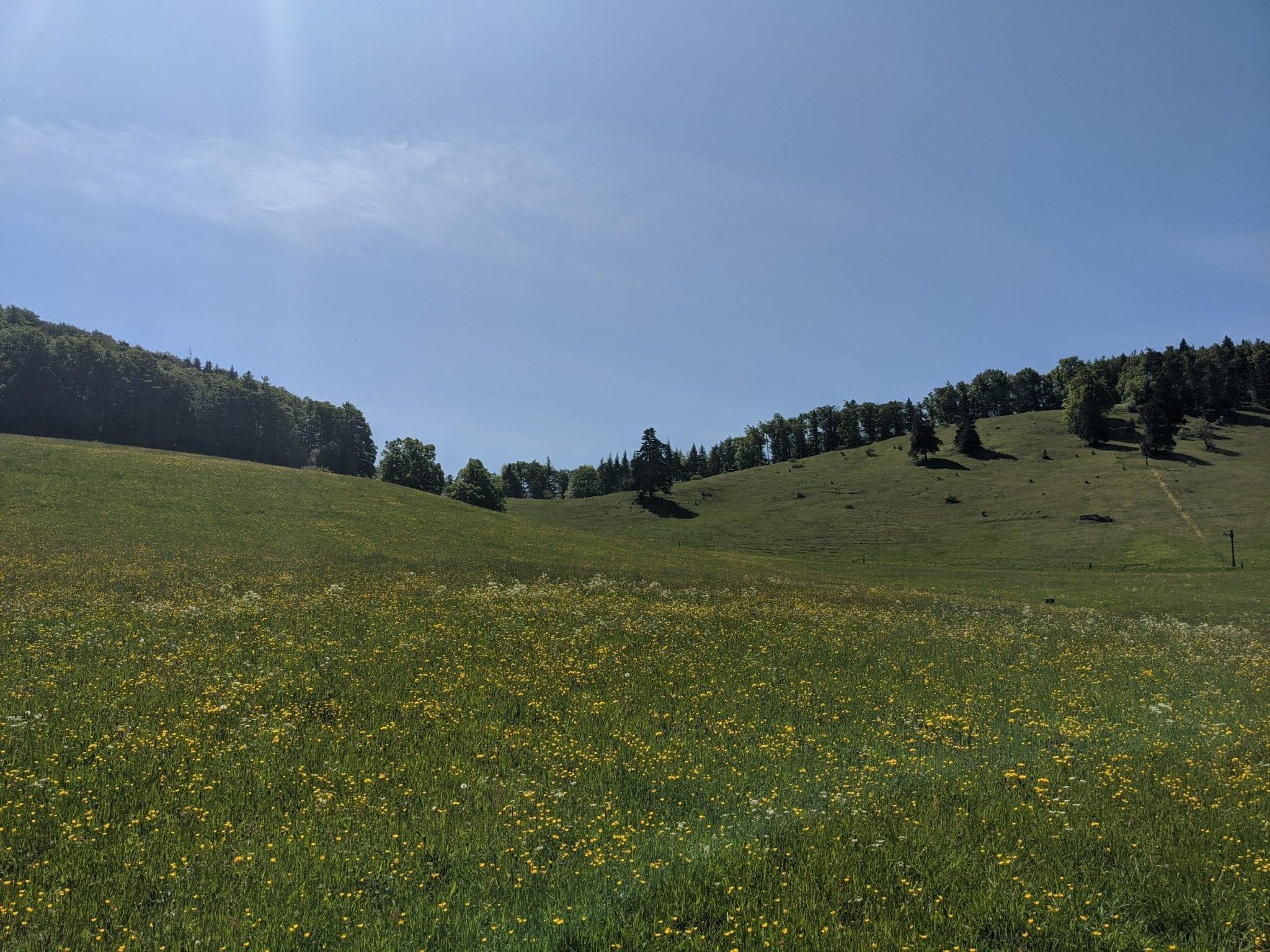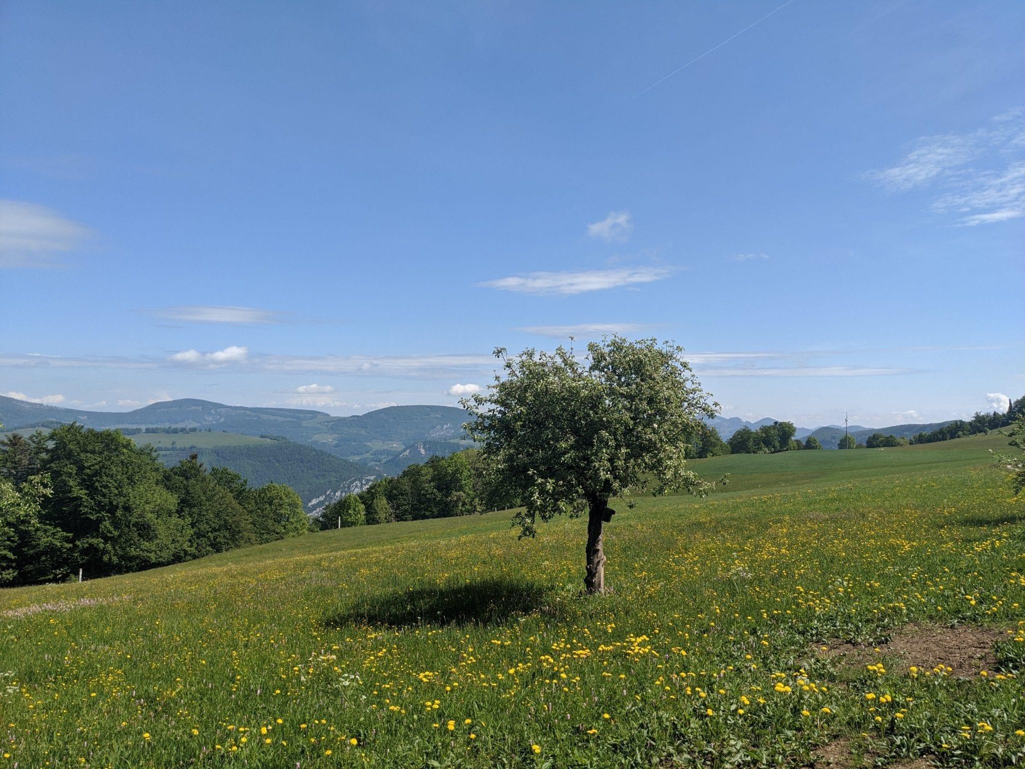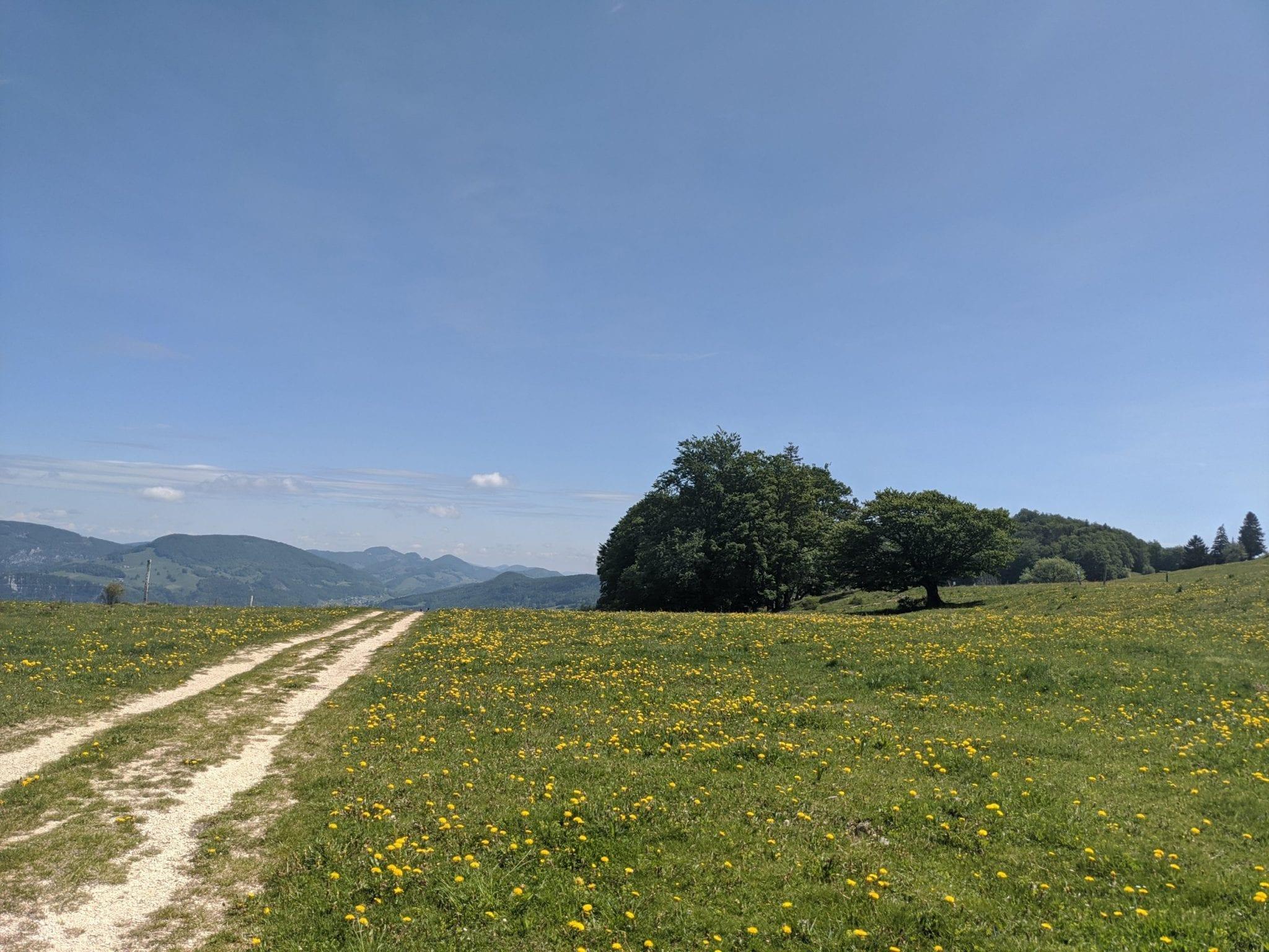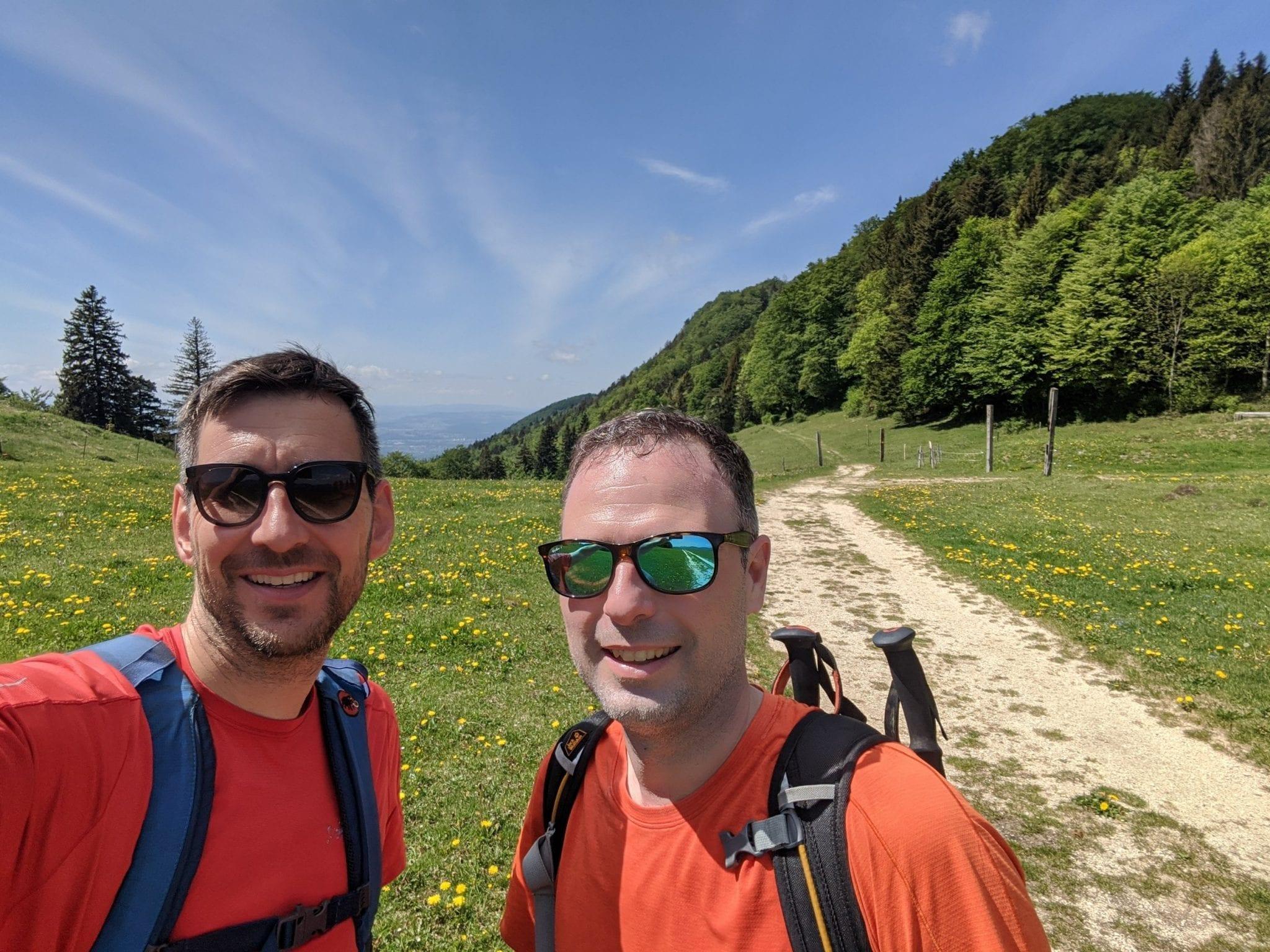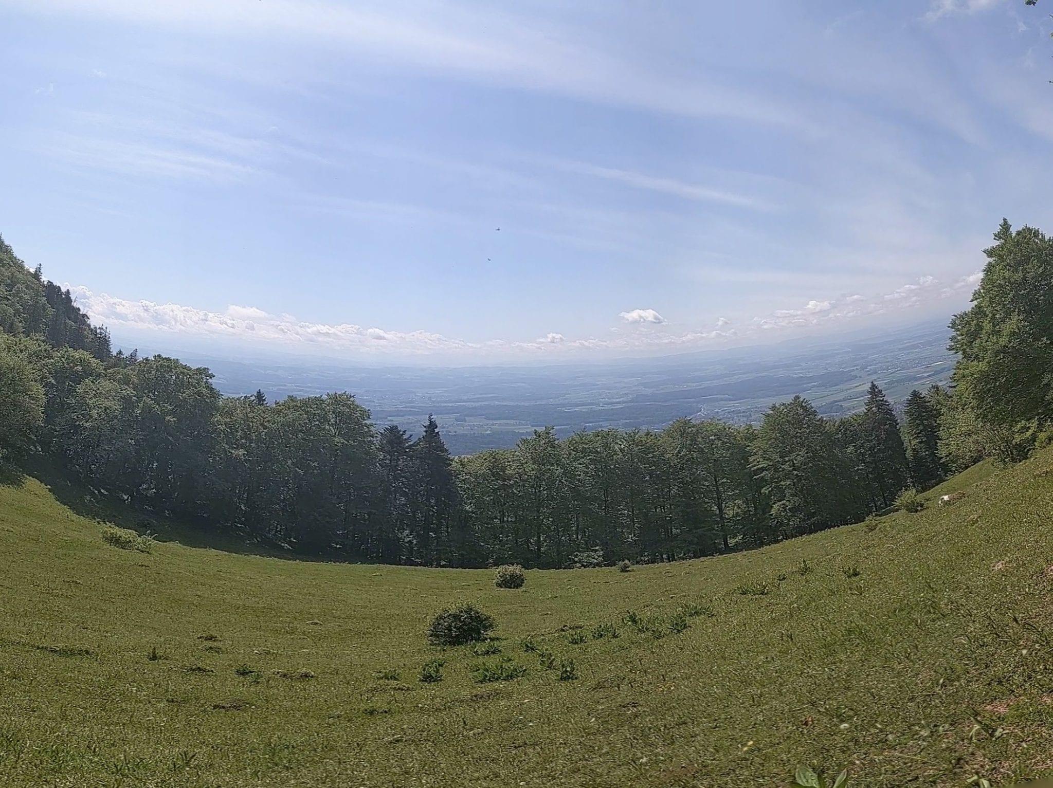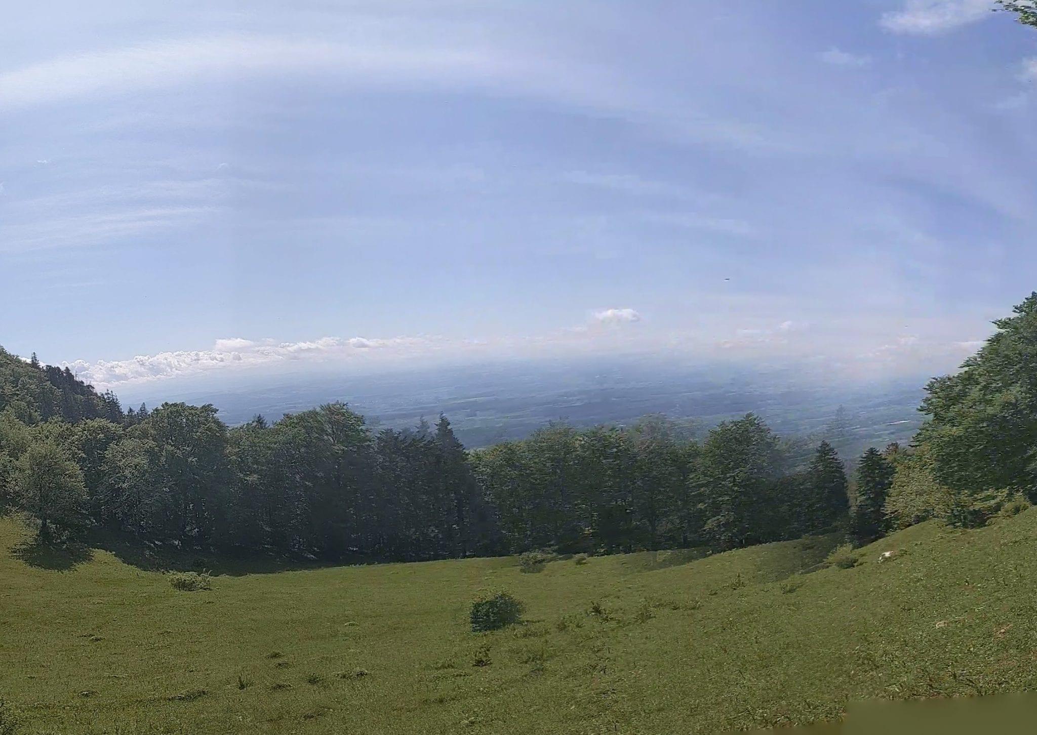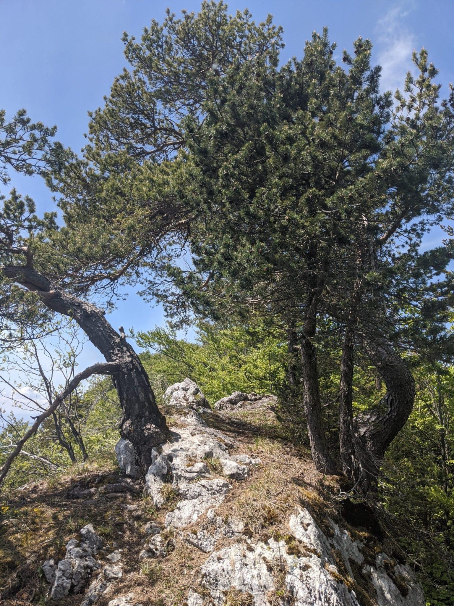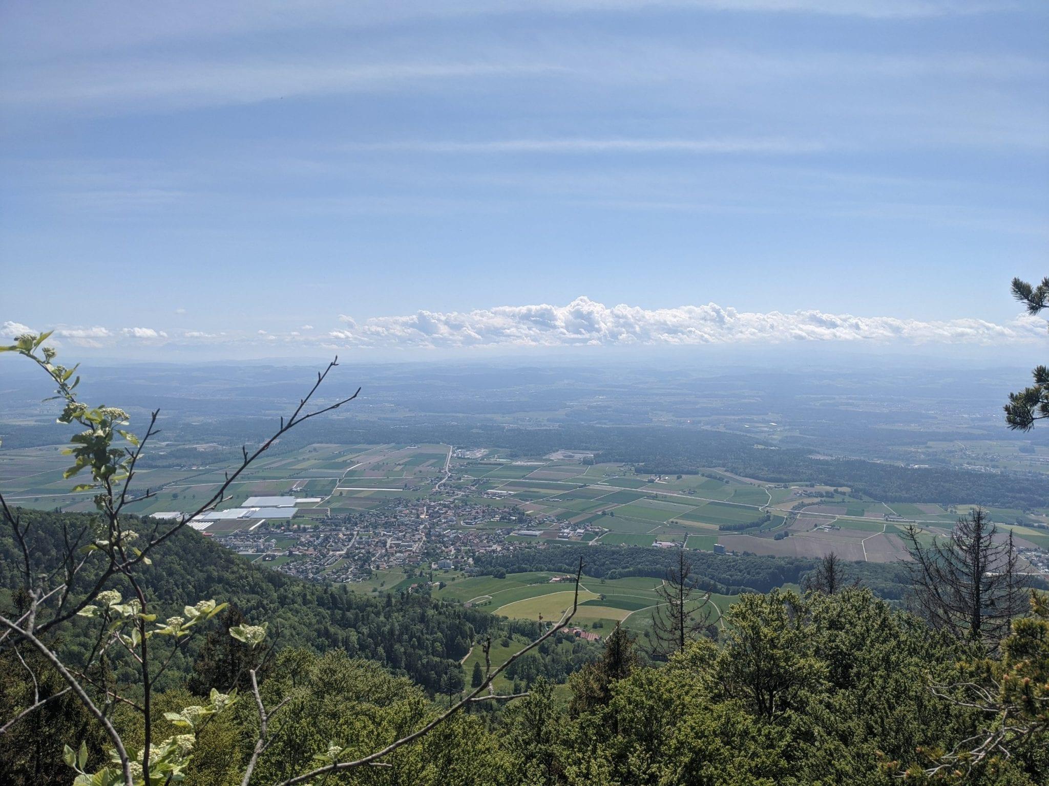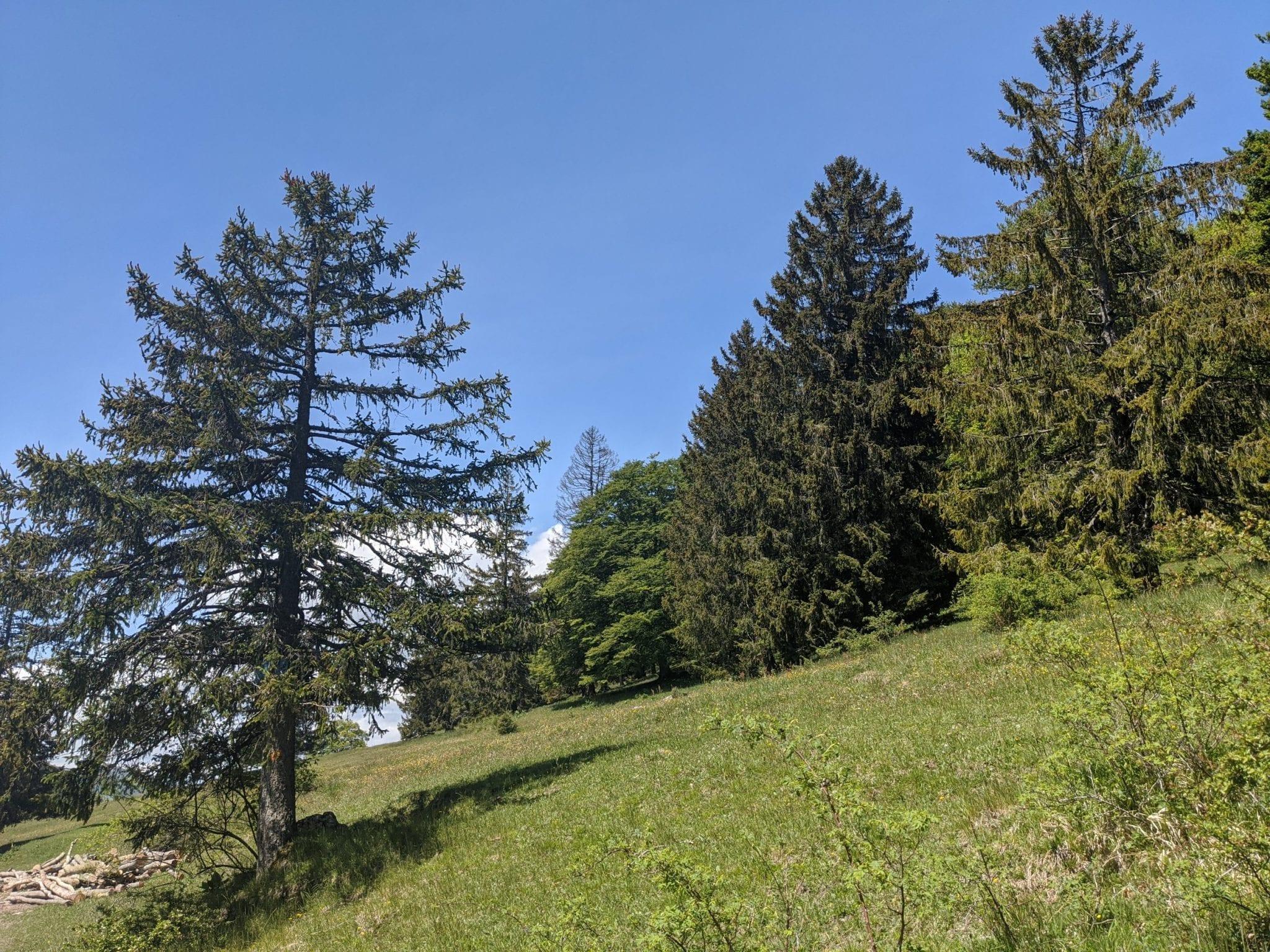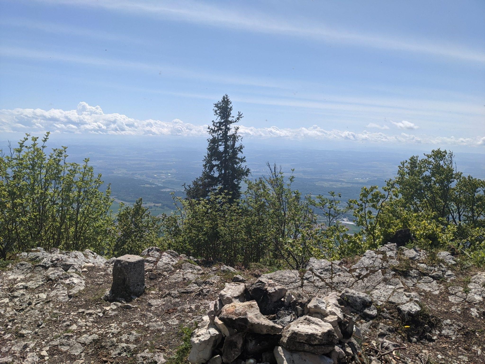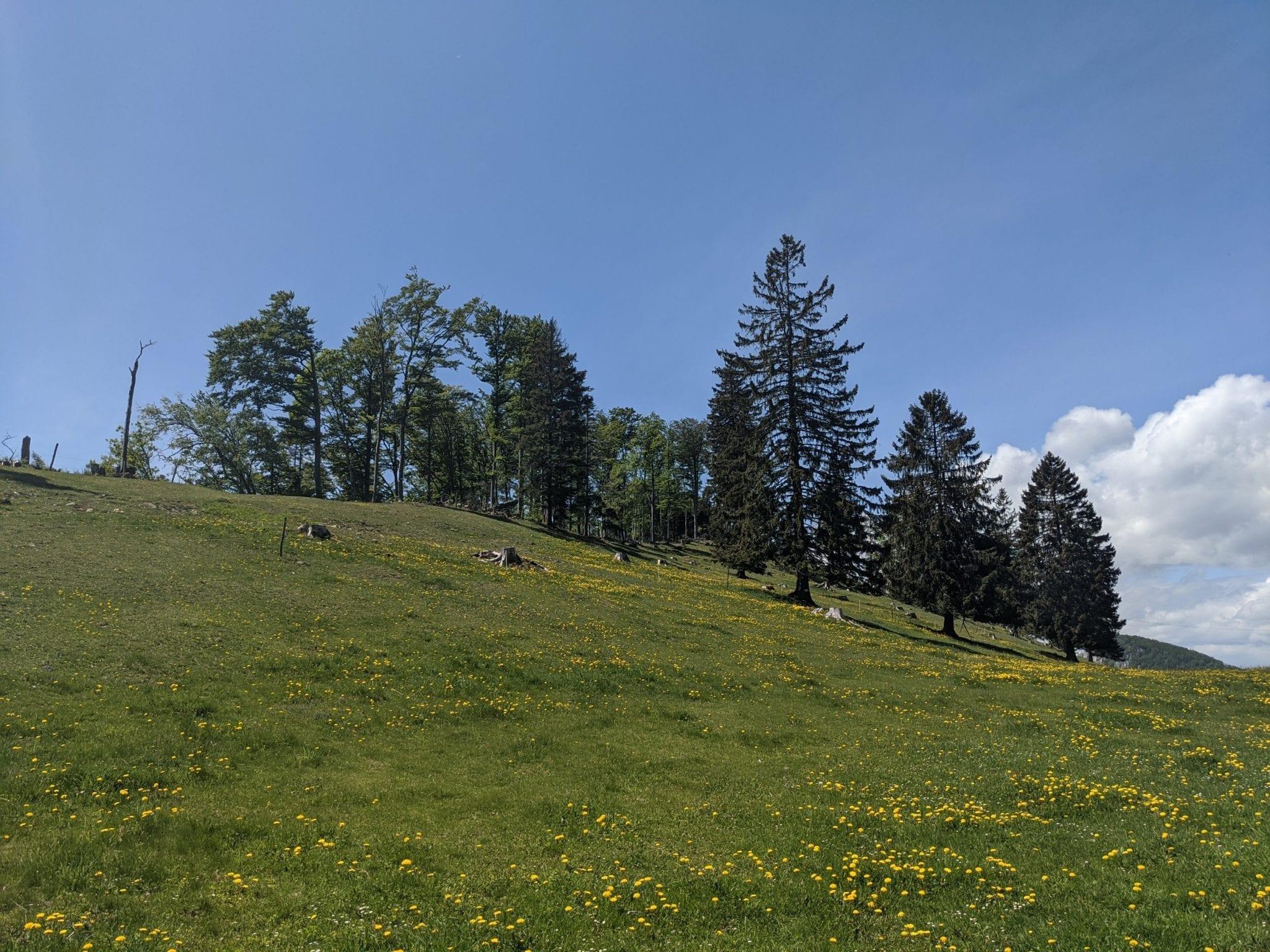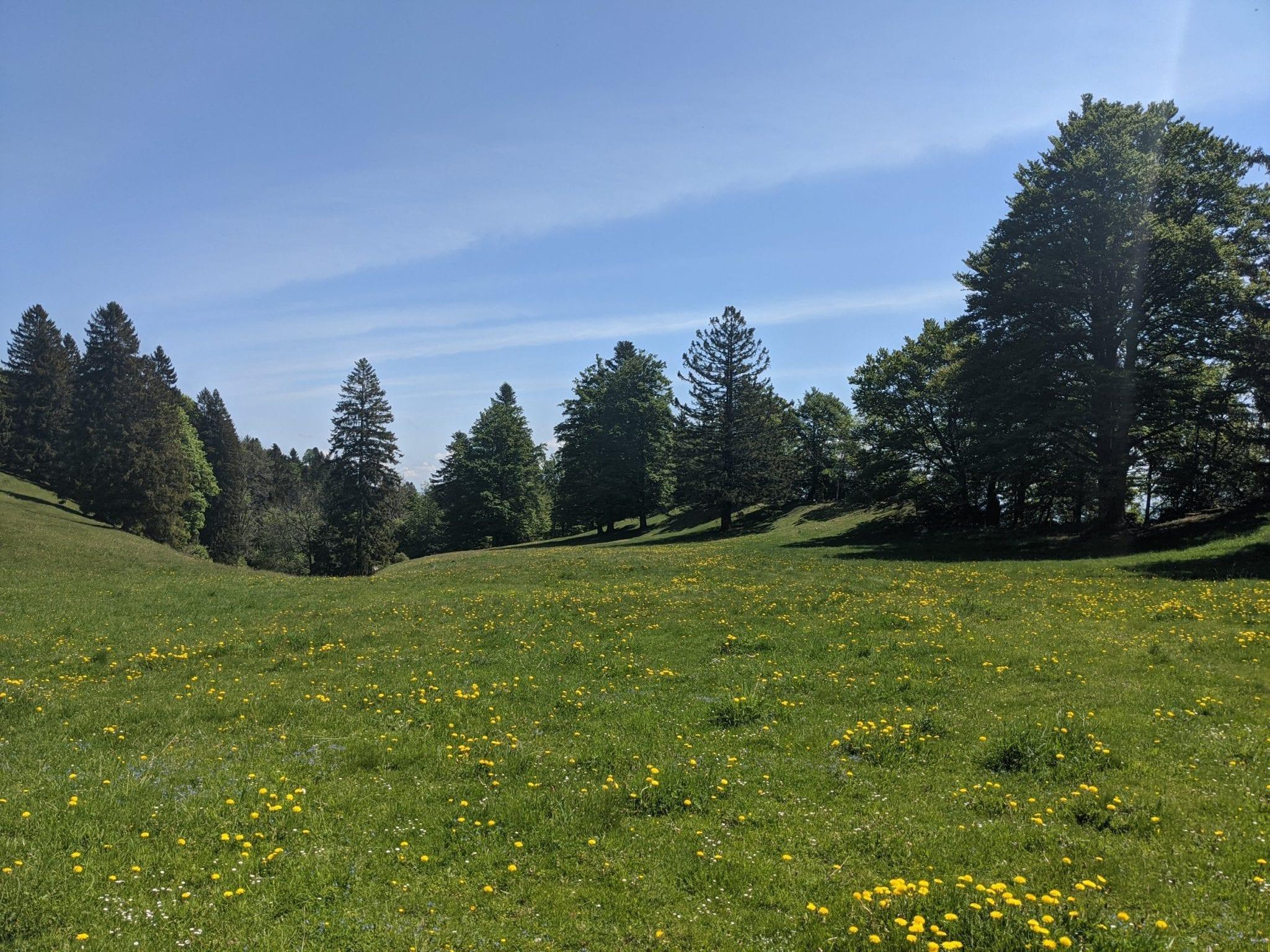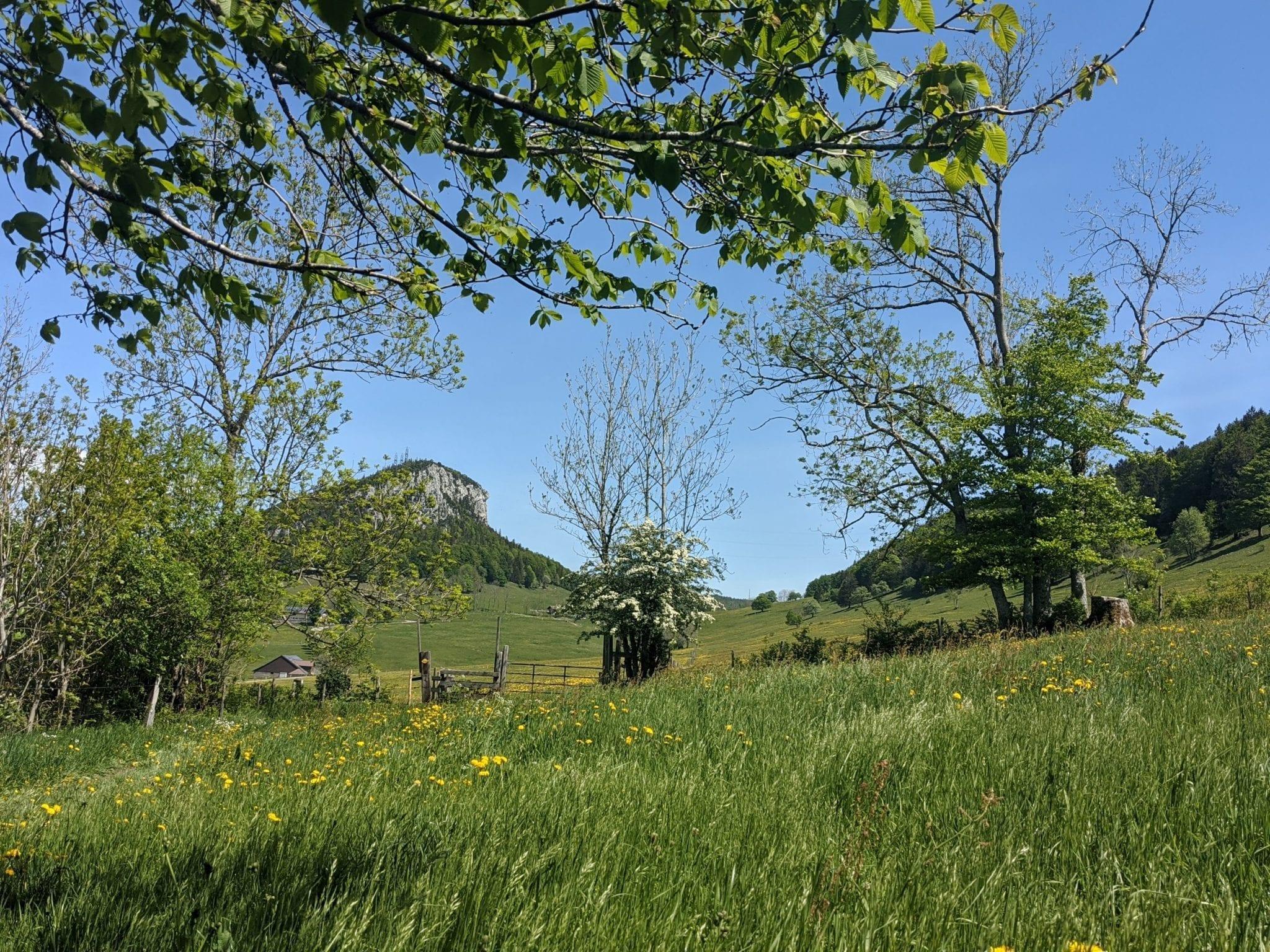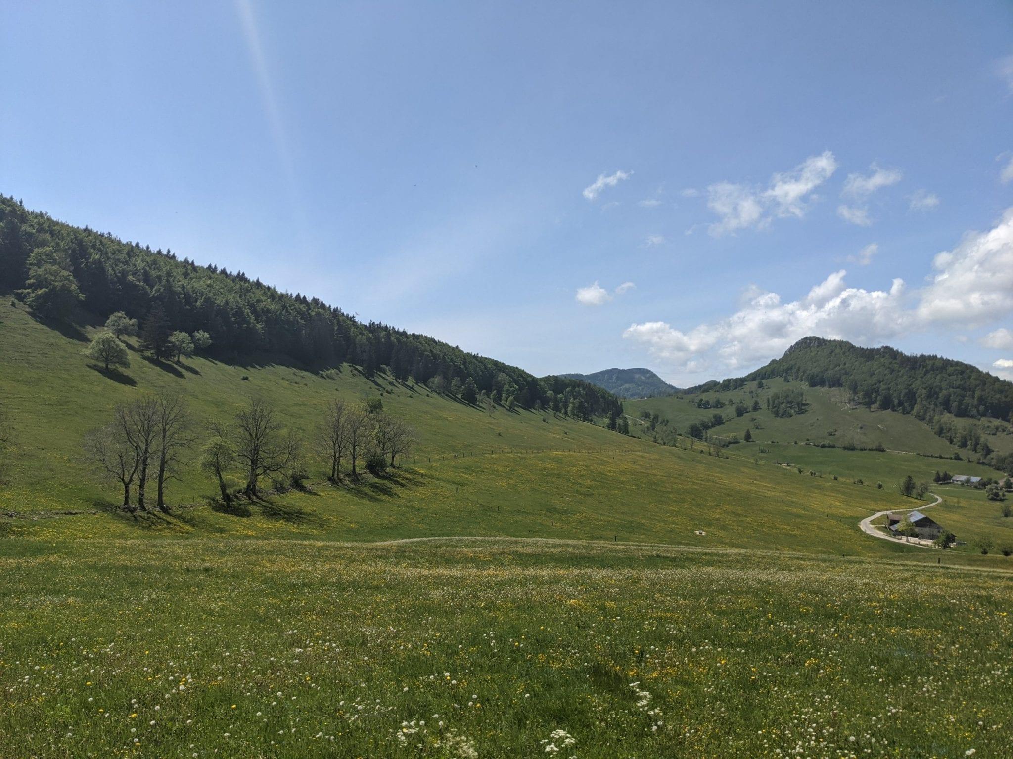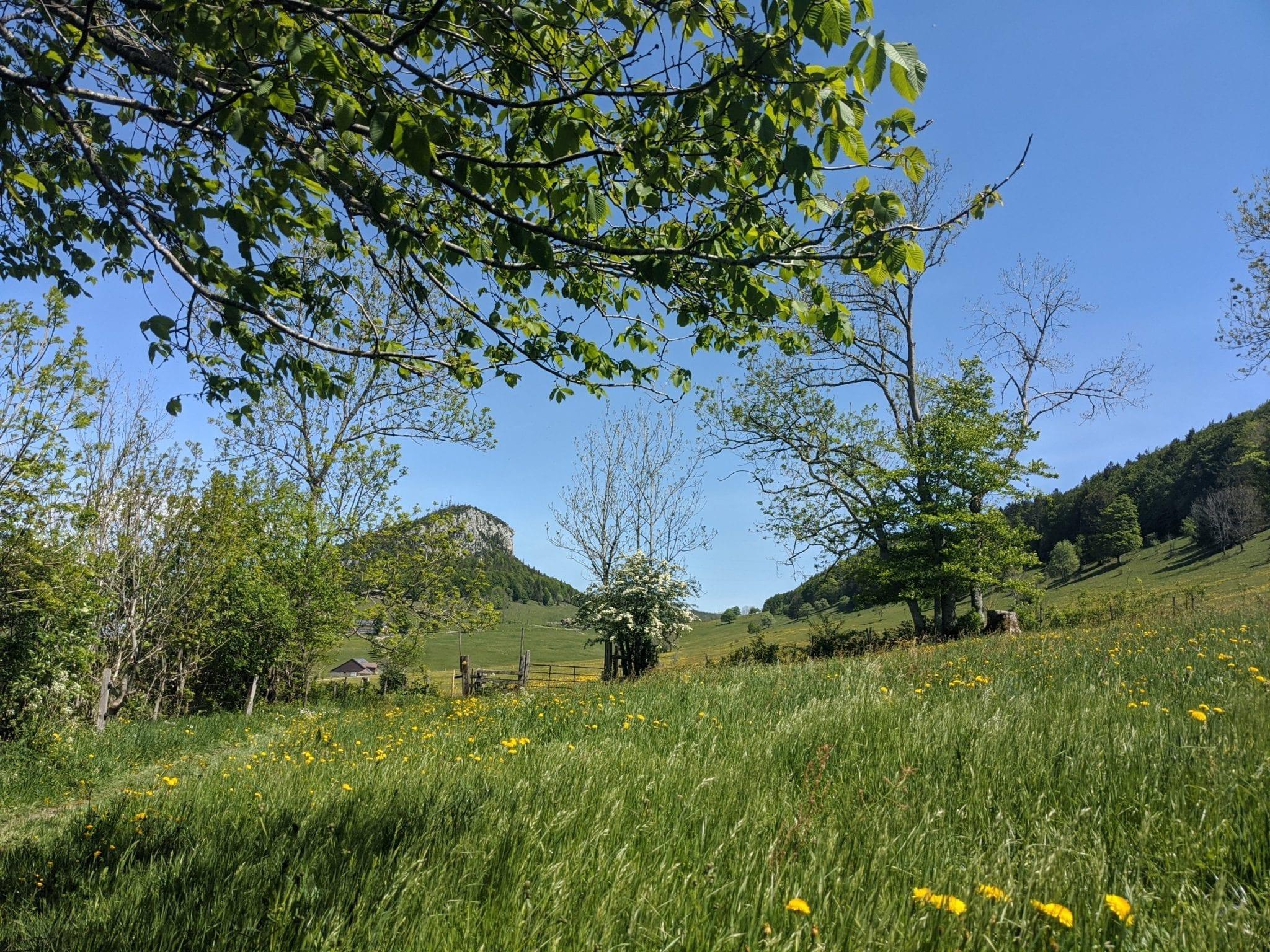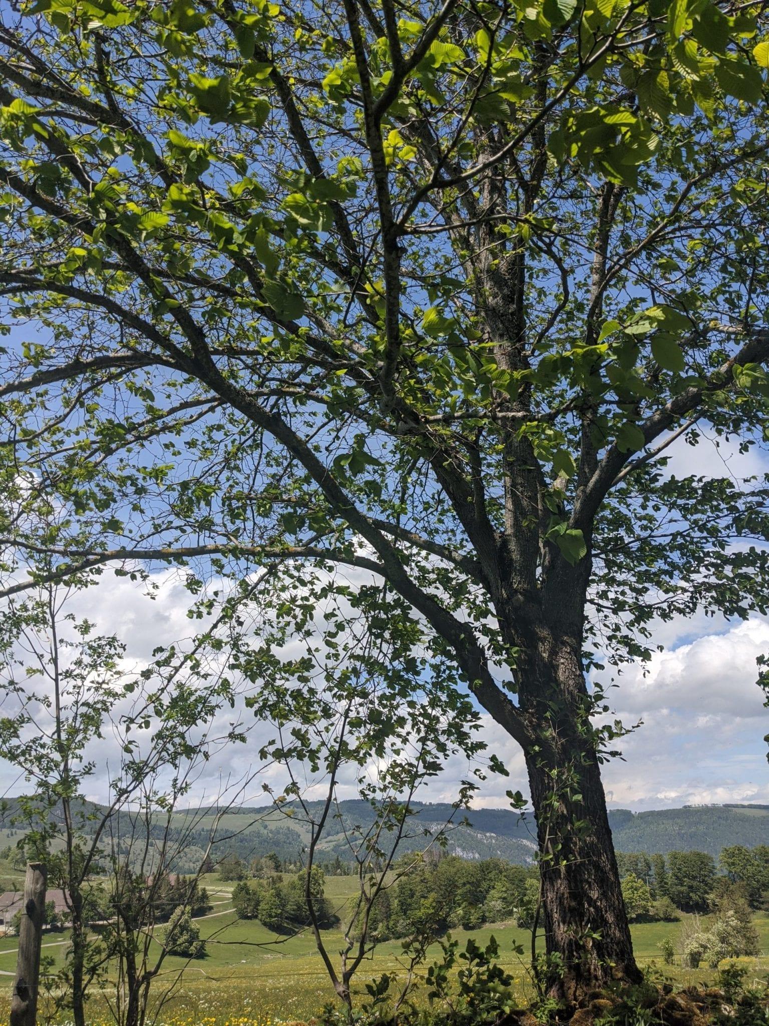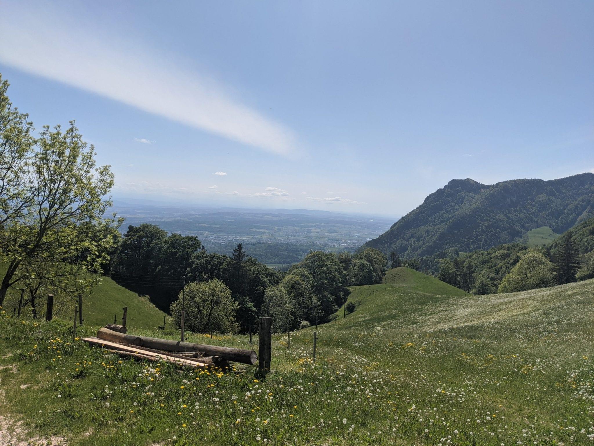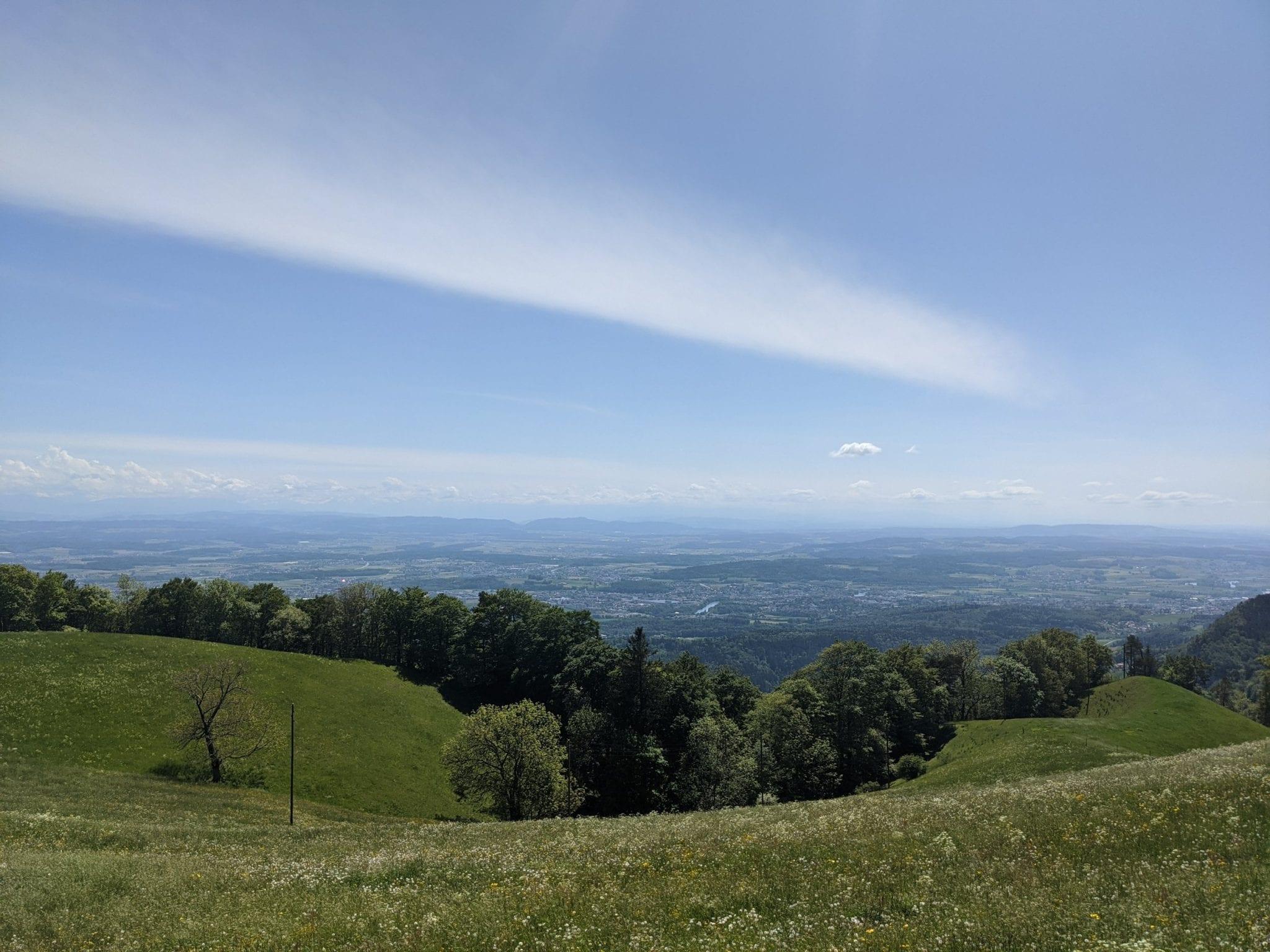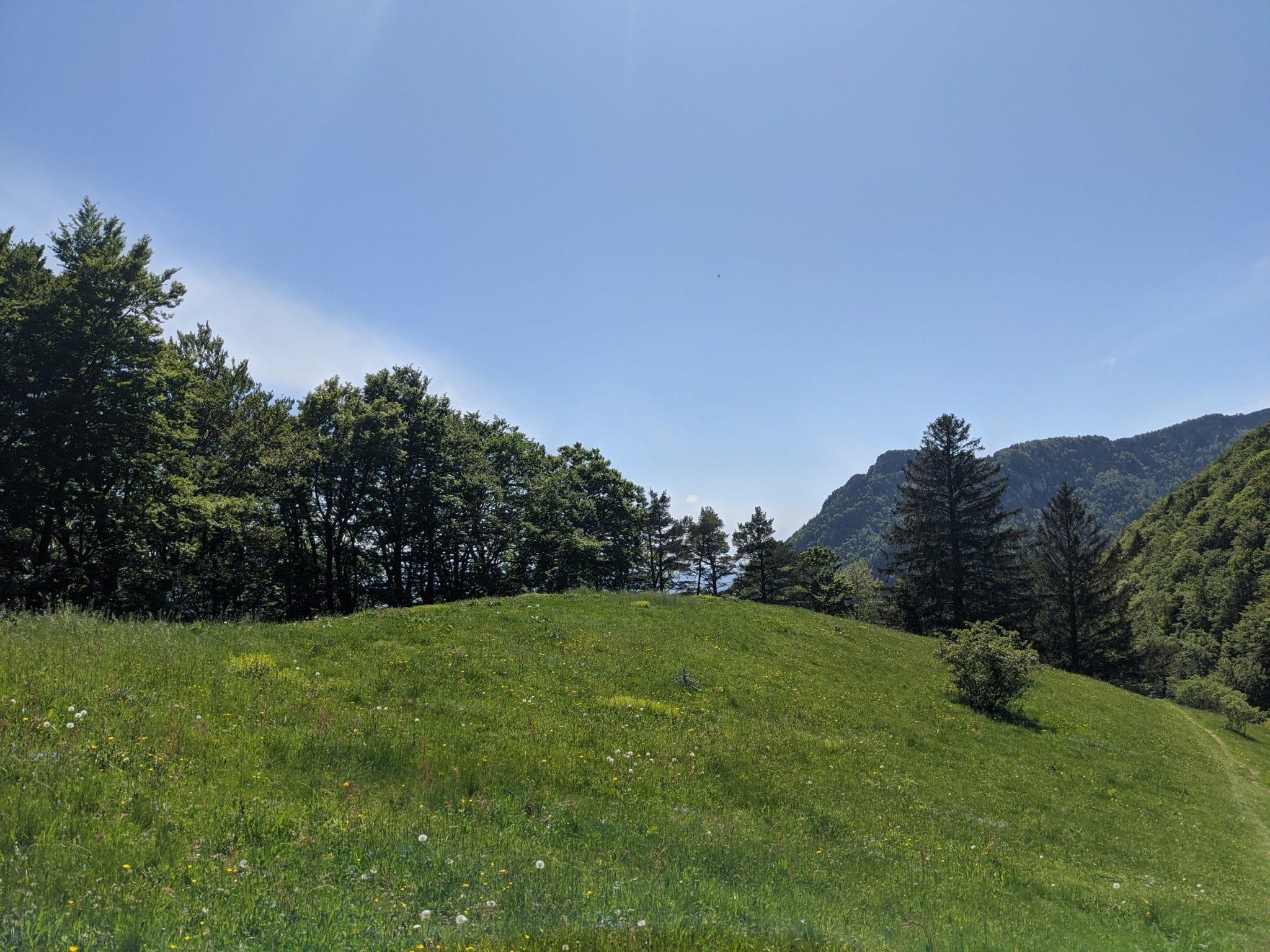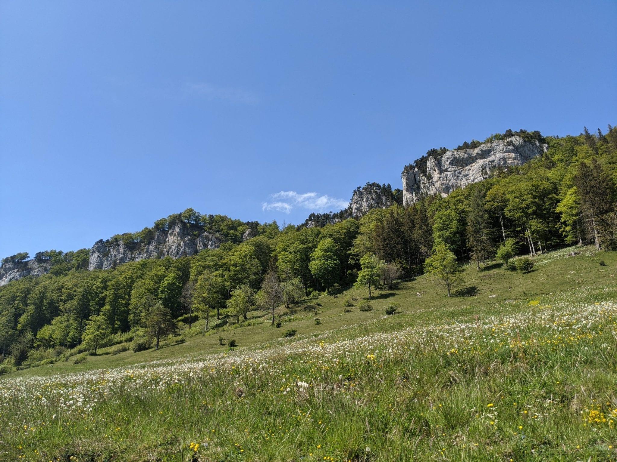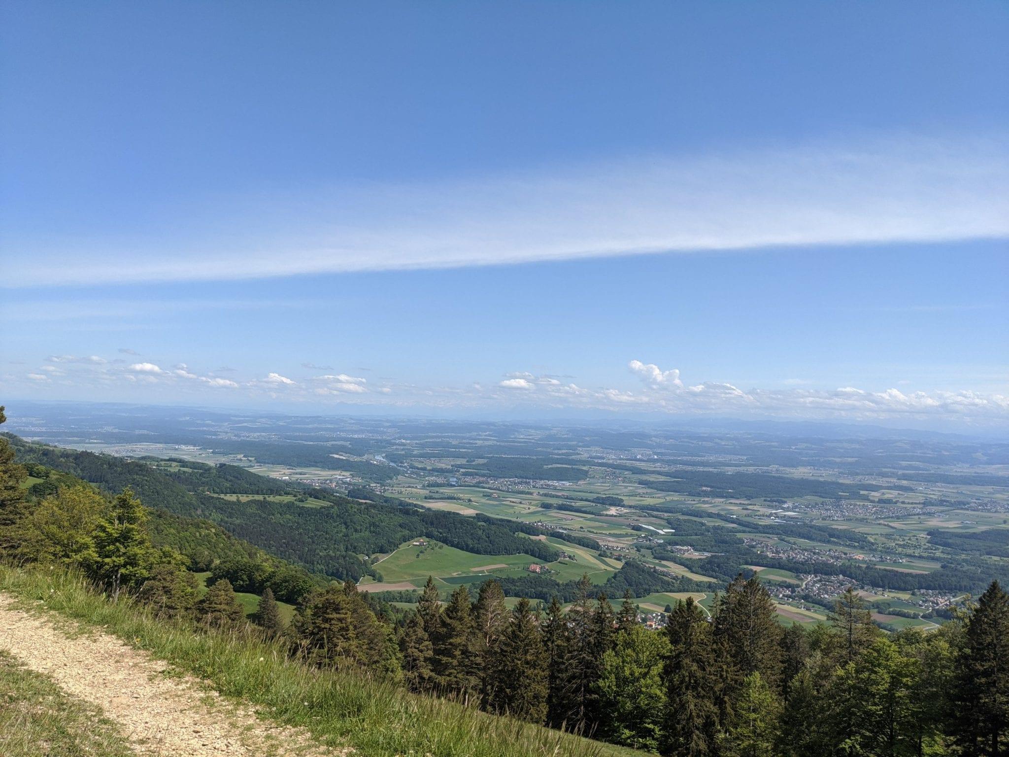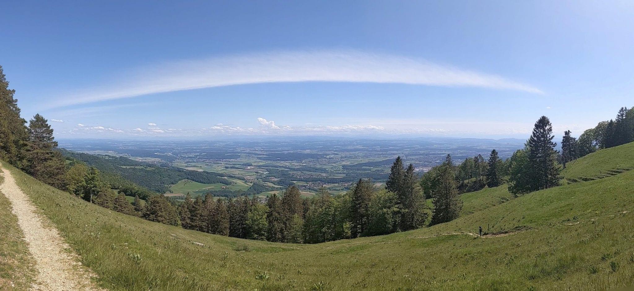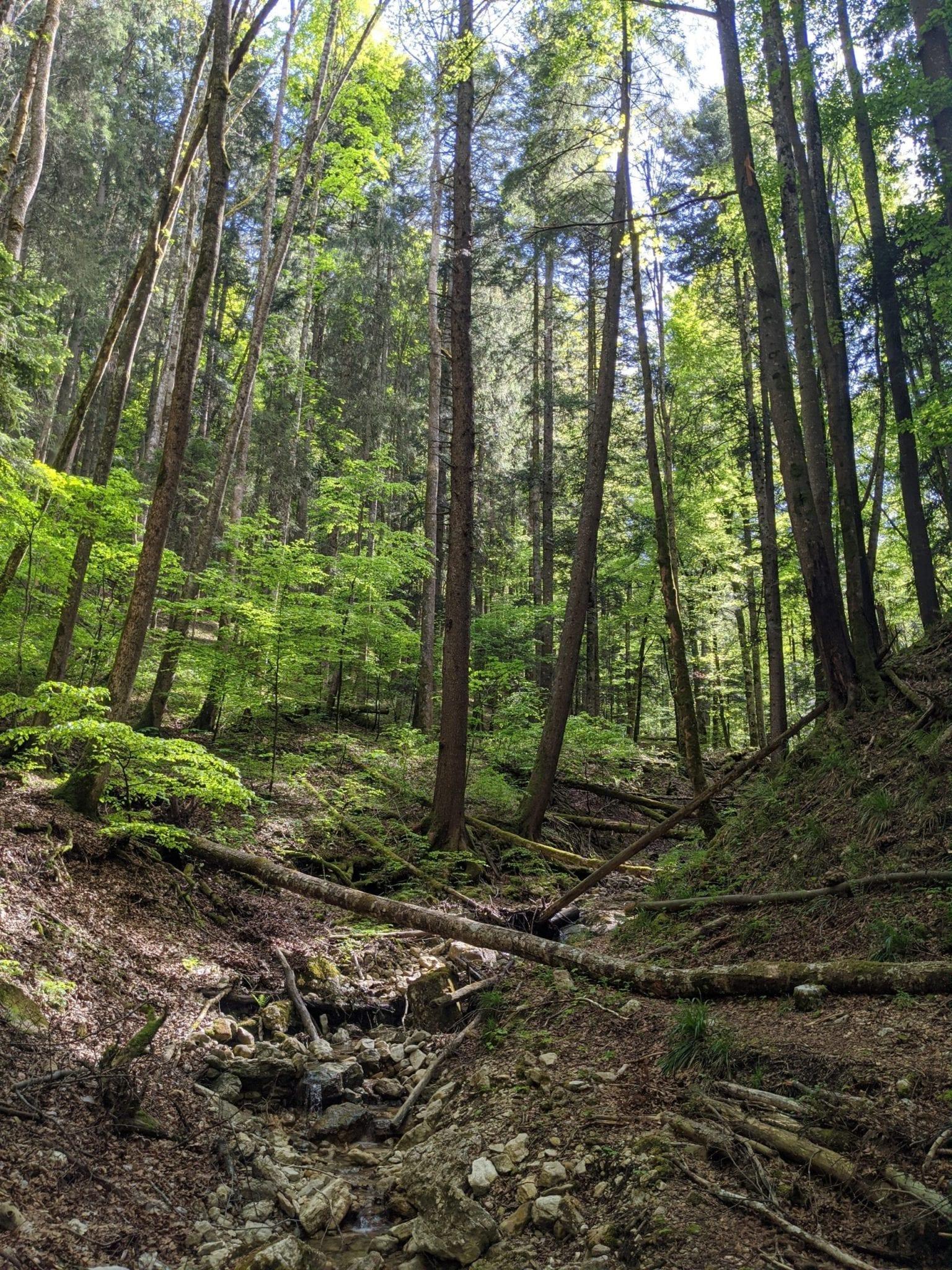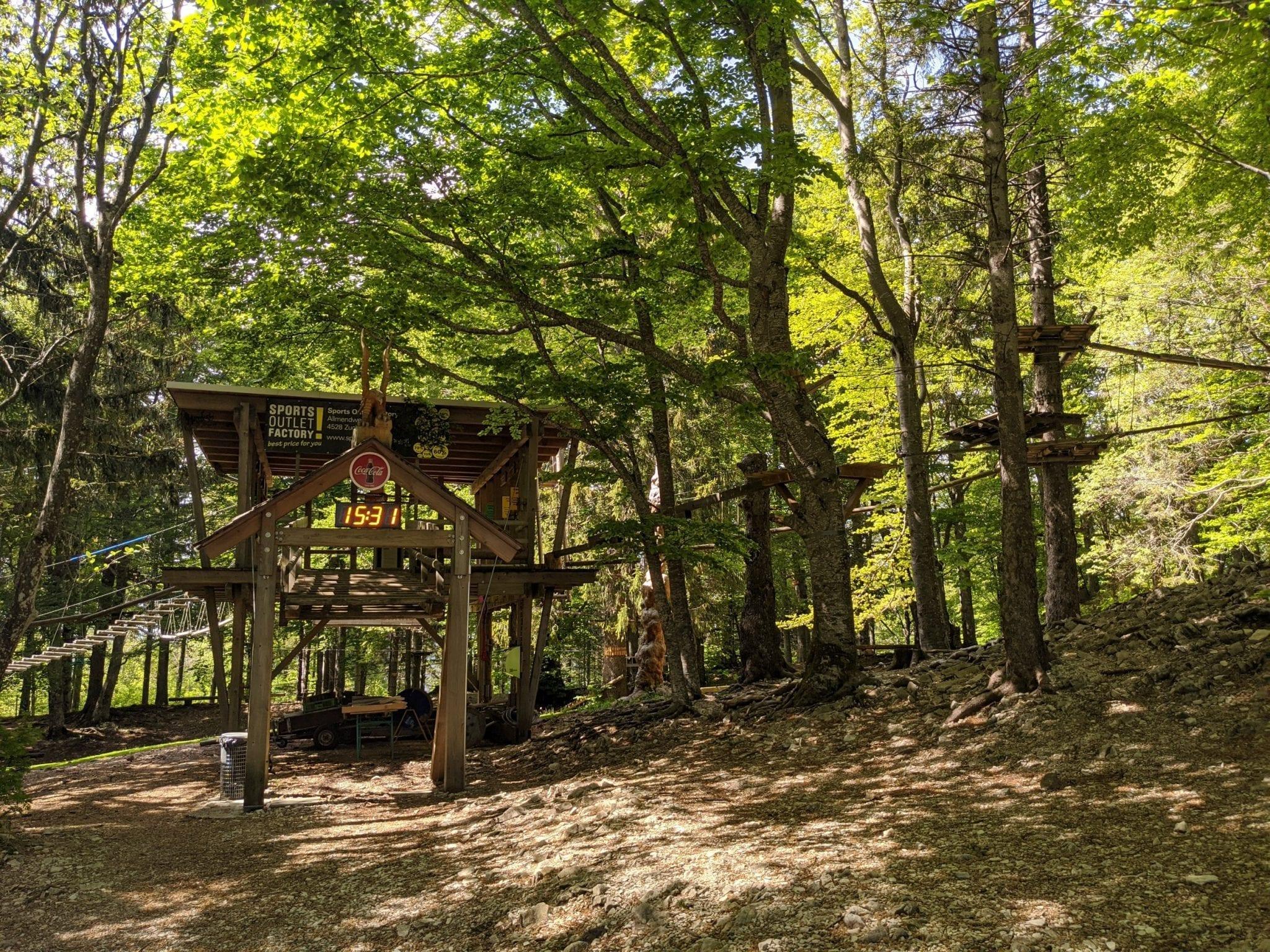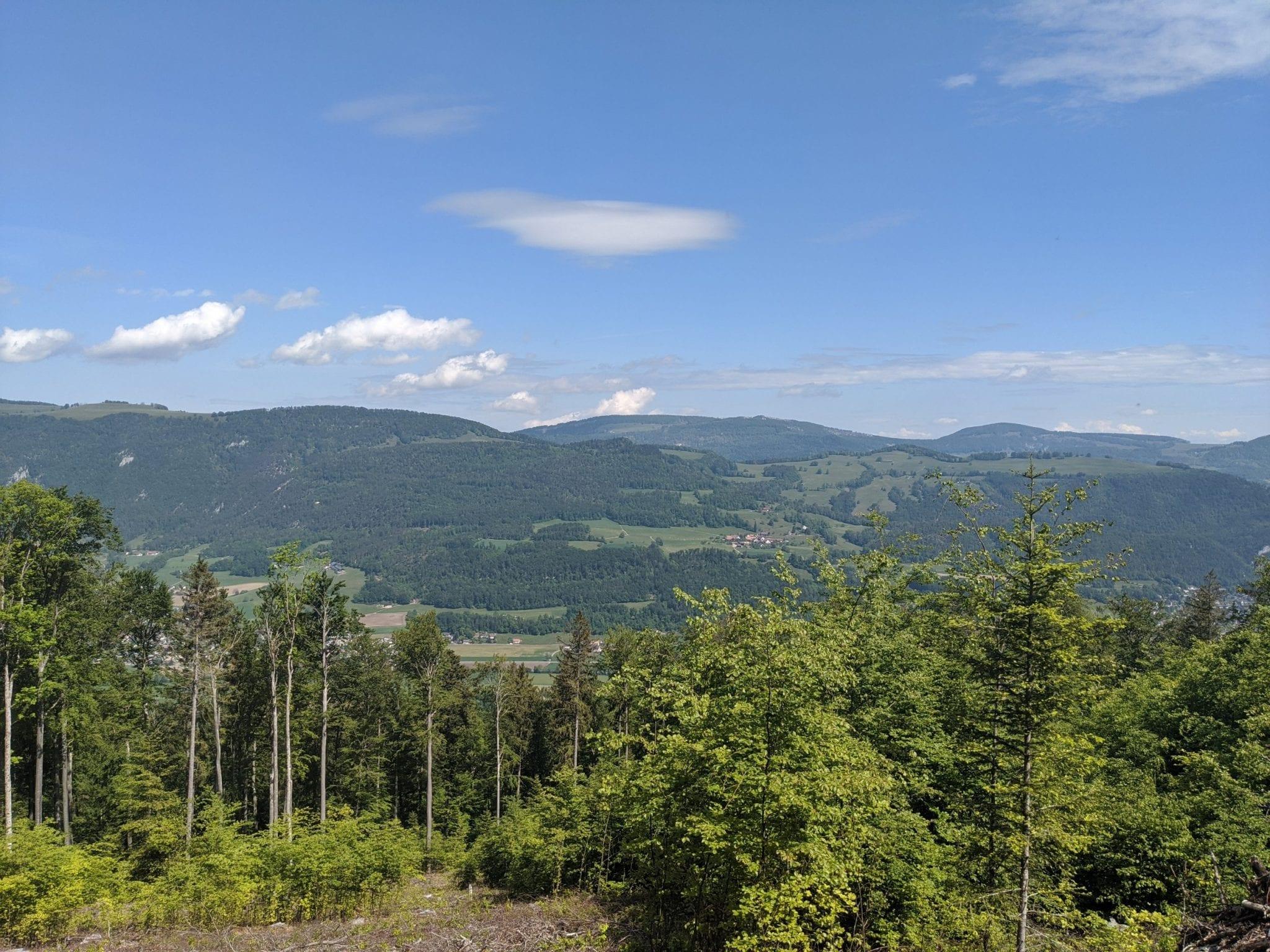
Map of the route “Jura Höhenweg Etappe 5, Balsthal – Weissenstein”: 21.150 m, 1.477 m of climbing and 1.280 m of descent, elevation between 480 m and 1.208 m, time 05:47:58. It starts at 47.30834, 7.68851 and ends at 47.28029, 7.52808 (latitude, longitude).
Gesamtstrecke: 21150 m
Maximale Höhe: 1209 m
Minimale Höhe: 479 m
Gesamtanstieg: 1477 m
Gesamtabstieg: 1280 m
Durchschnittsgeschwindigkeit: 12.20 min/km
Gesamtzeit: 05:47:58
Download file: activity_4912591680.gpx
Maximale Höhe: 1209 m
Minimale Höhe: 479 m
Gesamtanstieg: 1477 m
Gesamtabstieg: 1280 m
Durchschnittsgeschwindigkeit: 12.20 min/km
Gesamtzeit: 05:47:58