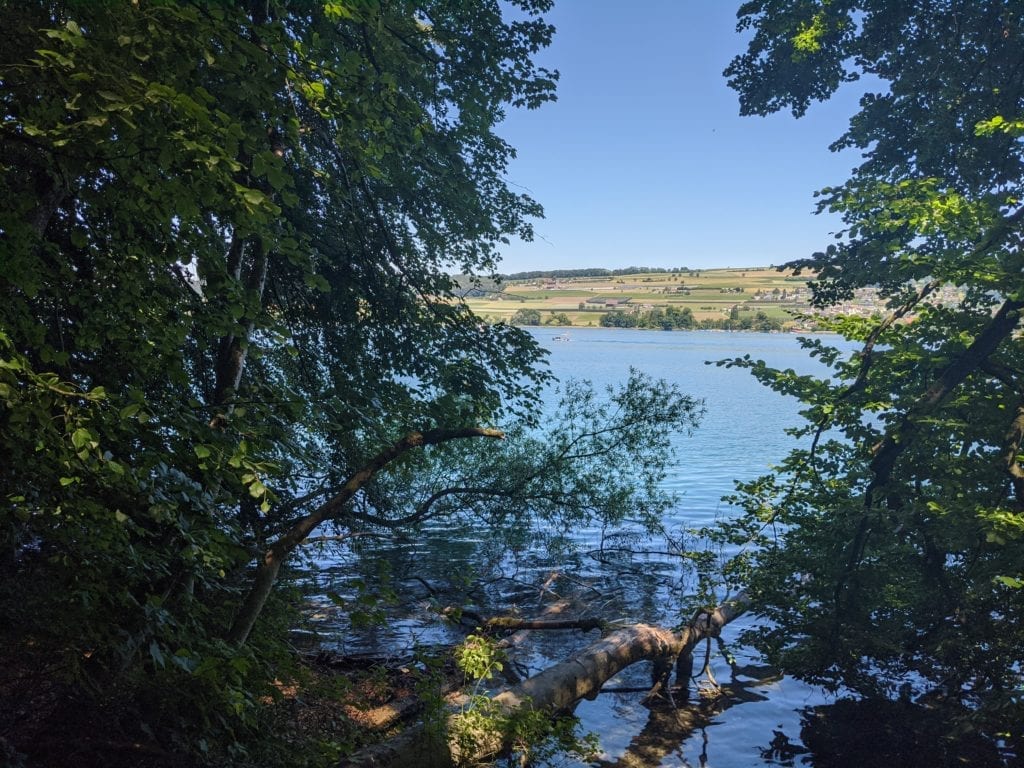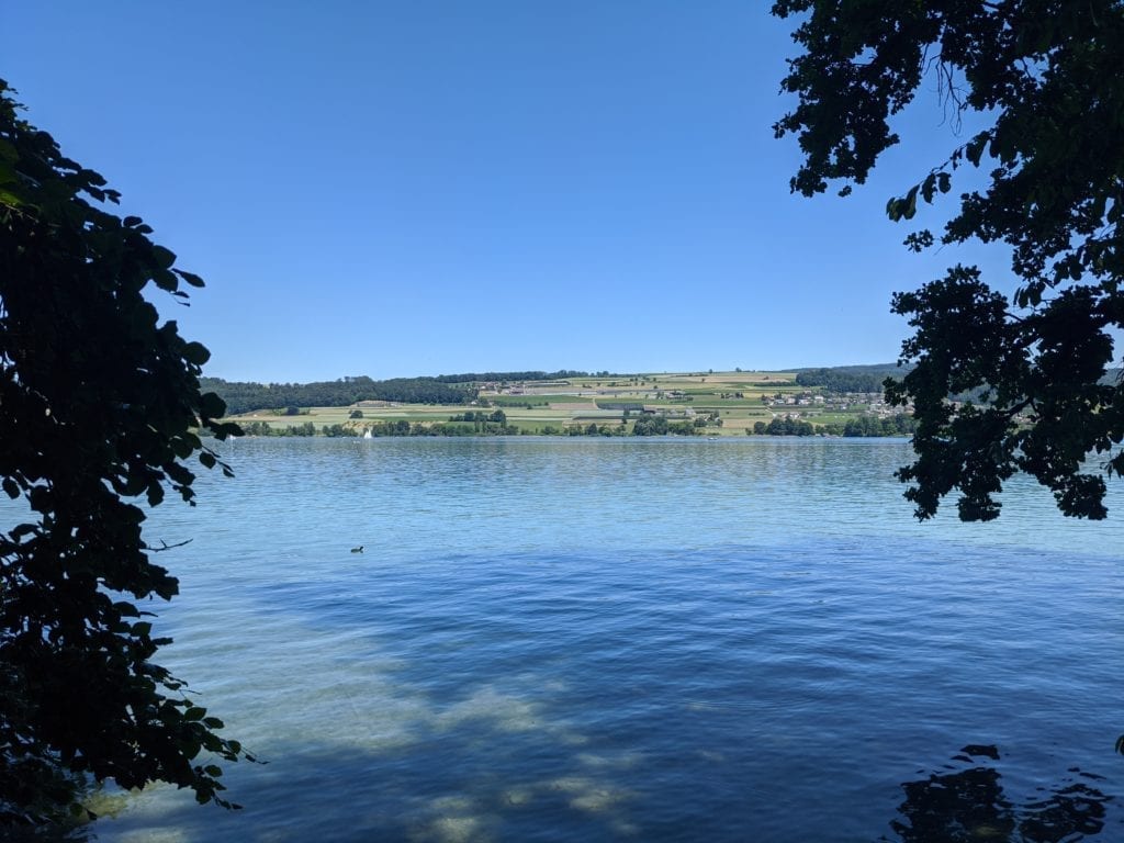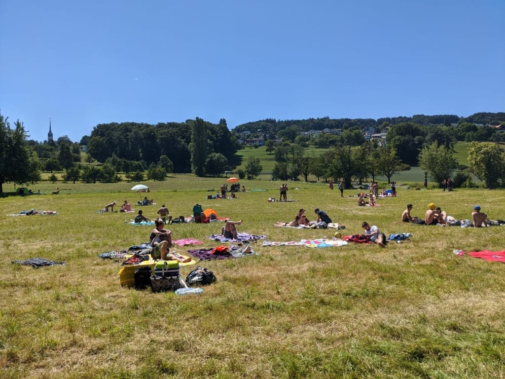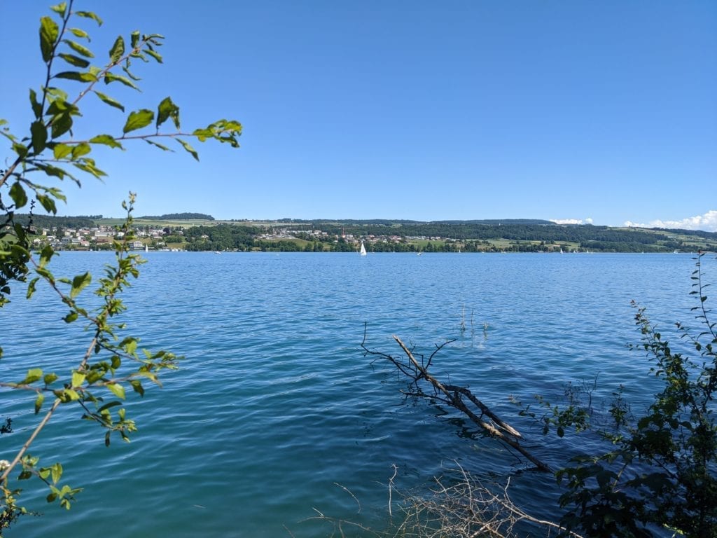
Map of the route “Mosen – Boniswil”: 9.488 m, 134 m of climbing and 109 m of descent, elevation between 665 m and 699 m, time 01:24:50. It starts at 47.24565, 8.22389 and ends at 47.31548, 8.18436 (latitude, longitude).
Gesamtstrecke: 9502 m
Maximale Höhe: 699 m
Minimale Höhe: 665 m
Gesamtanstieg: 134 m
Gesamtabstieg: 109 m
Durchschnittsgeschwindigkeit: 8.42 min/km
Gesamtzeit: 01:24:59
Download file: mosen-boniswil.gpx
Maximale Höhe: 699 m
Minimale Höhe: 665 m
Gesamtanstieg: 134 m
Gesamtabstieg: 109 m
Durchschnittsgeschwindigkeit: 8.42 min/km
Gesamtzeit: 01:24:59