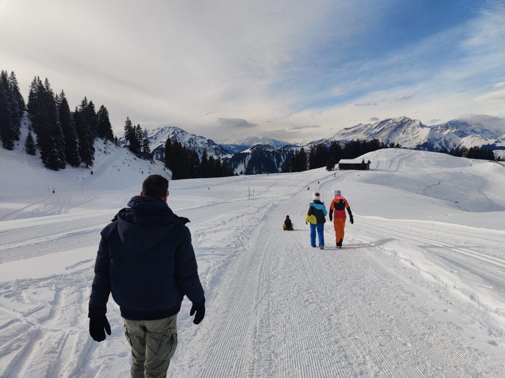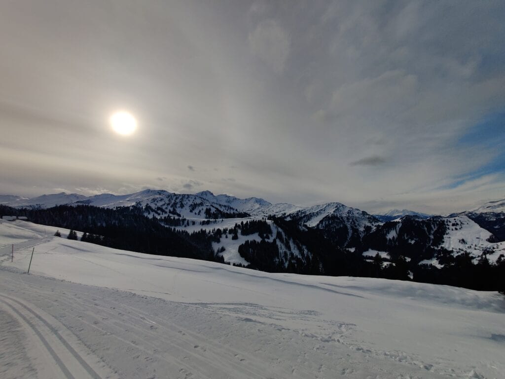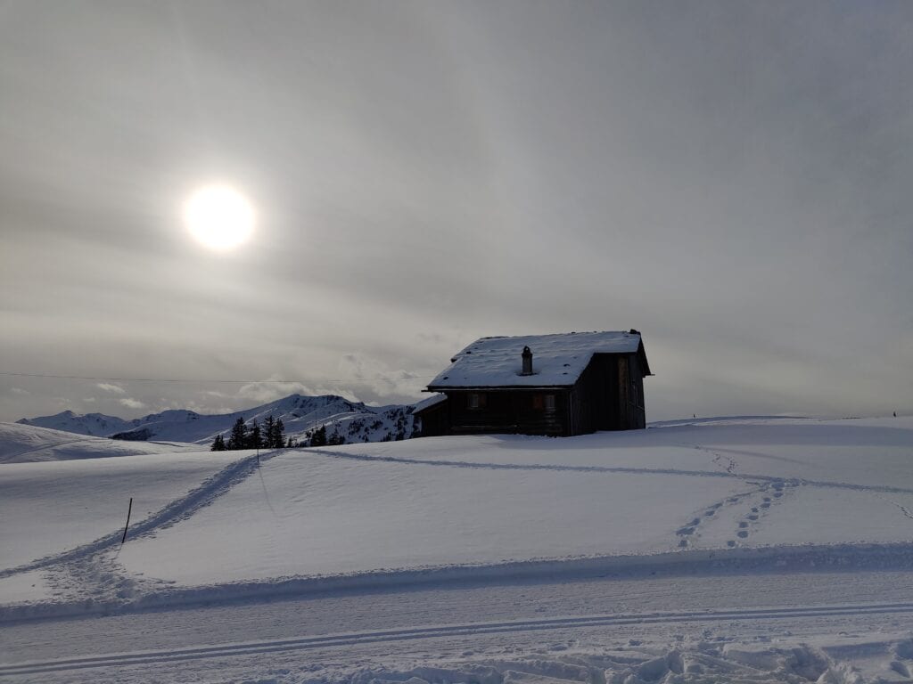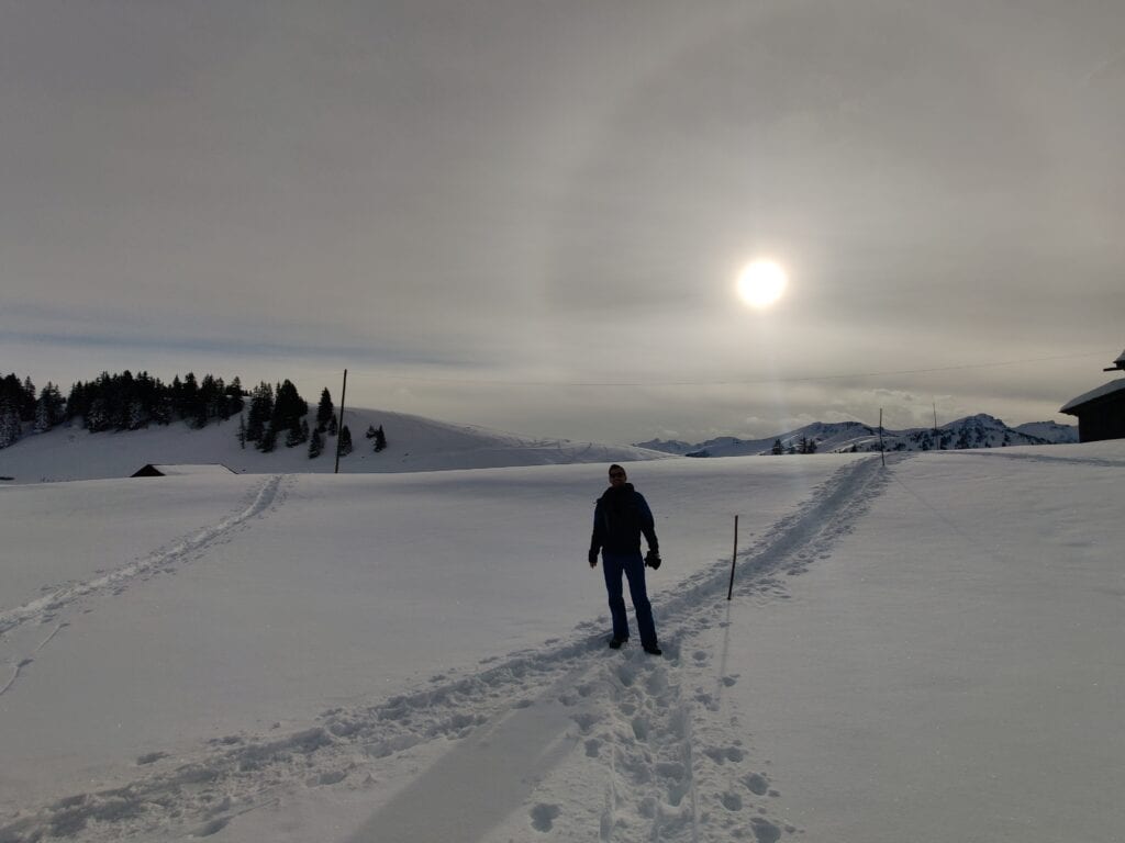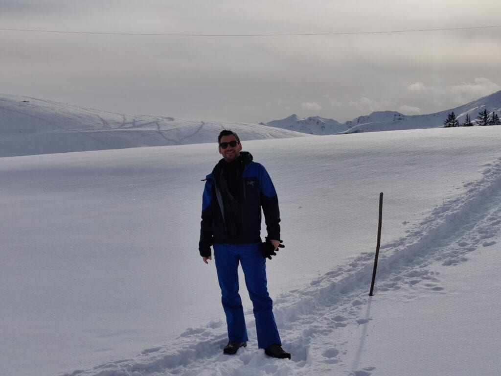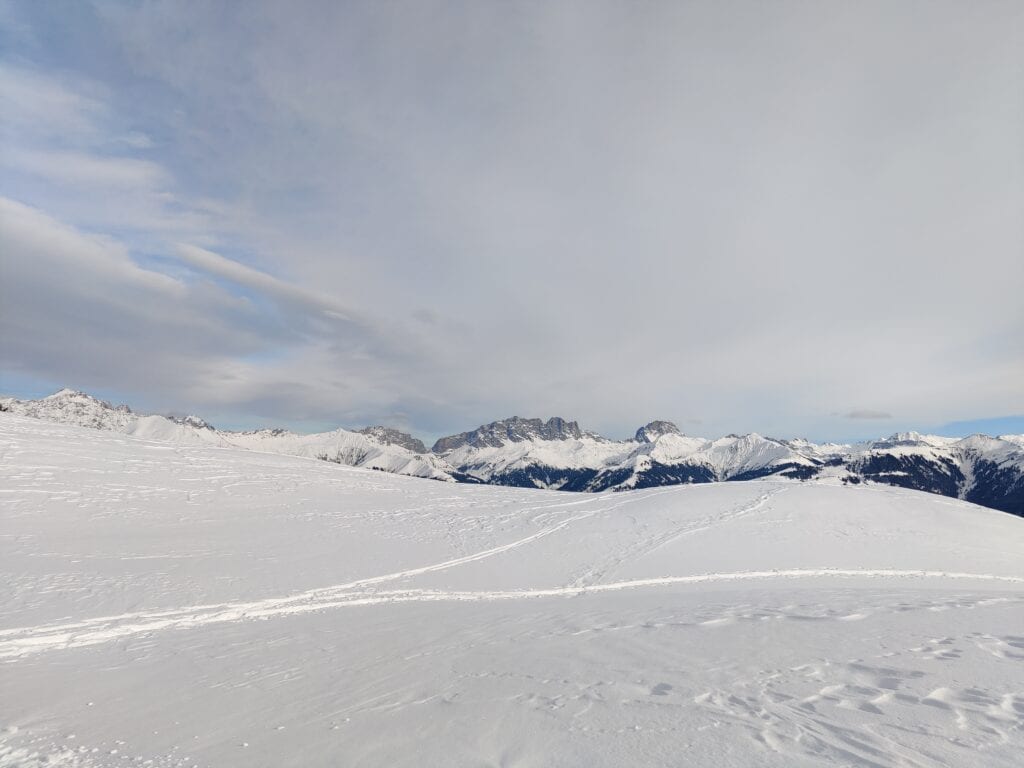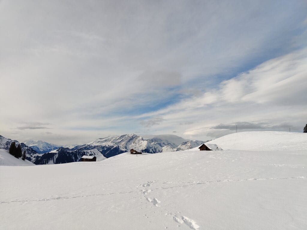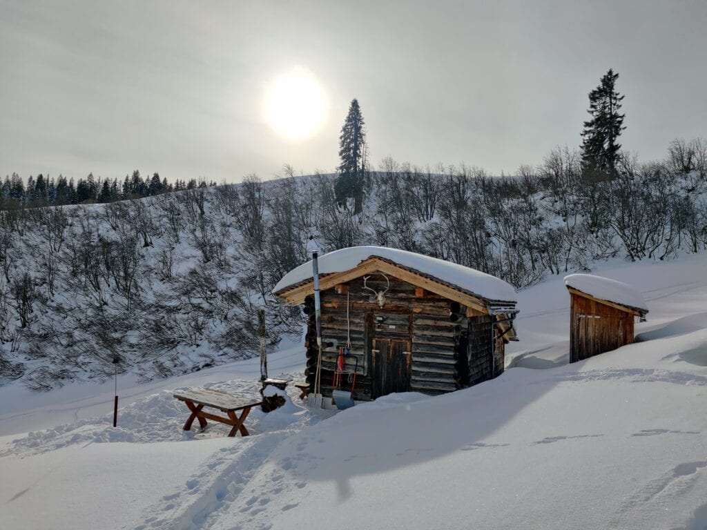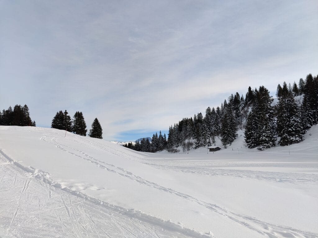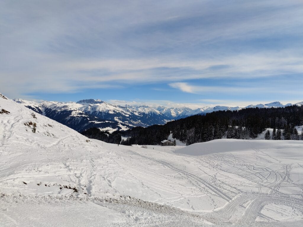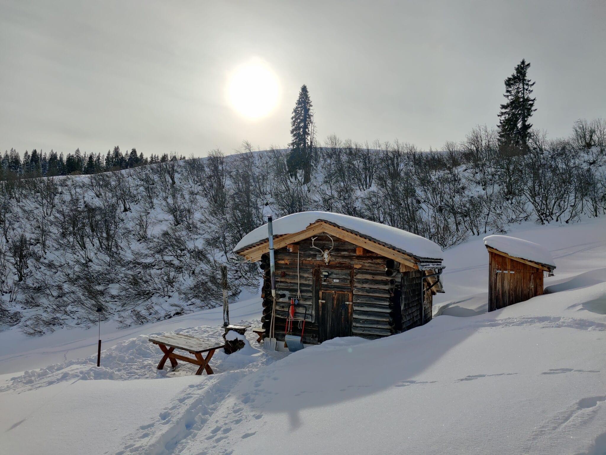
Was gibt es schöneres, als den ersten Tag im Jahr mit einer kleinen Wanderung im Schnee und Sonne im Gesicht zu starten?
Map of the route “Neujahrswanderung in Grüsch”: 4.893 m, 239 m of climbing and 209 m of descent, elevation between 1.712 m and 1.778 m, time 01:21:14. It starts at 46.94564, 9.64575 and ends at 46.94556, 9.64925 (latitude, longitude).
Gesamtstrecke: 4922 m
Maximale Höhe: 1778 m
Minimale Höhe: 1711 m
Gesamtanstieg: 239 m
Gesamtabstieg: 209 m
Durchschnittsgeschwindigkeit: 10.46 min/km
Gesamtzeit: 01:21:55
Download file: activity_6034856210.gpx
Maximale Höhe: 1778 m
Minimale Höhe: 1711 m
Gesamtanstieg: 239 m
Gesamtabstieg: 209 m
Durchschnittsgeschwindigkeit: 10.46 min/km
Gesamtzeit: 01:21:55