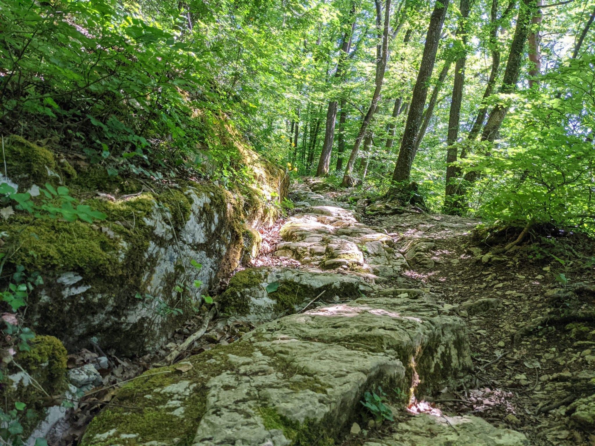
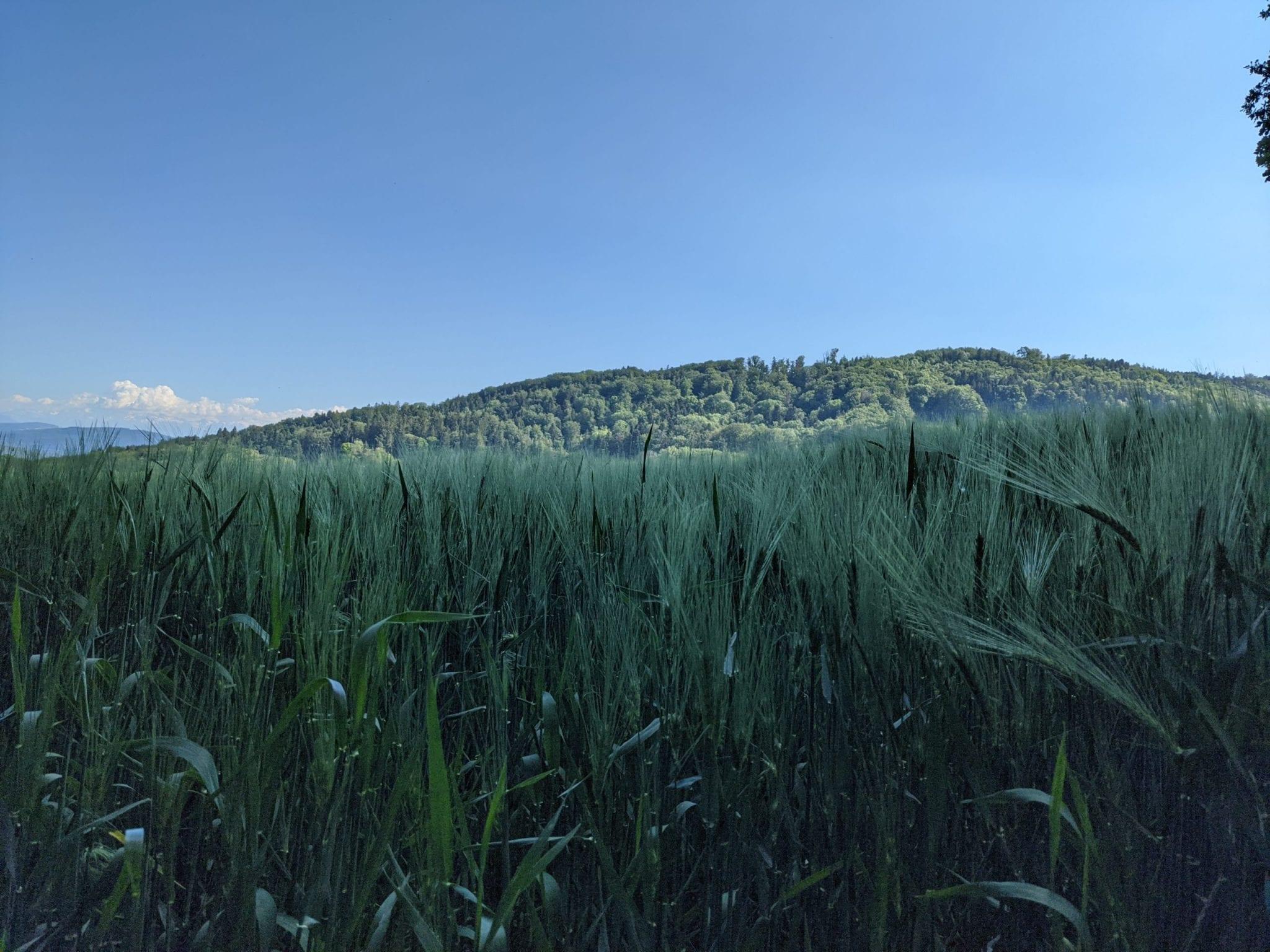
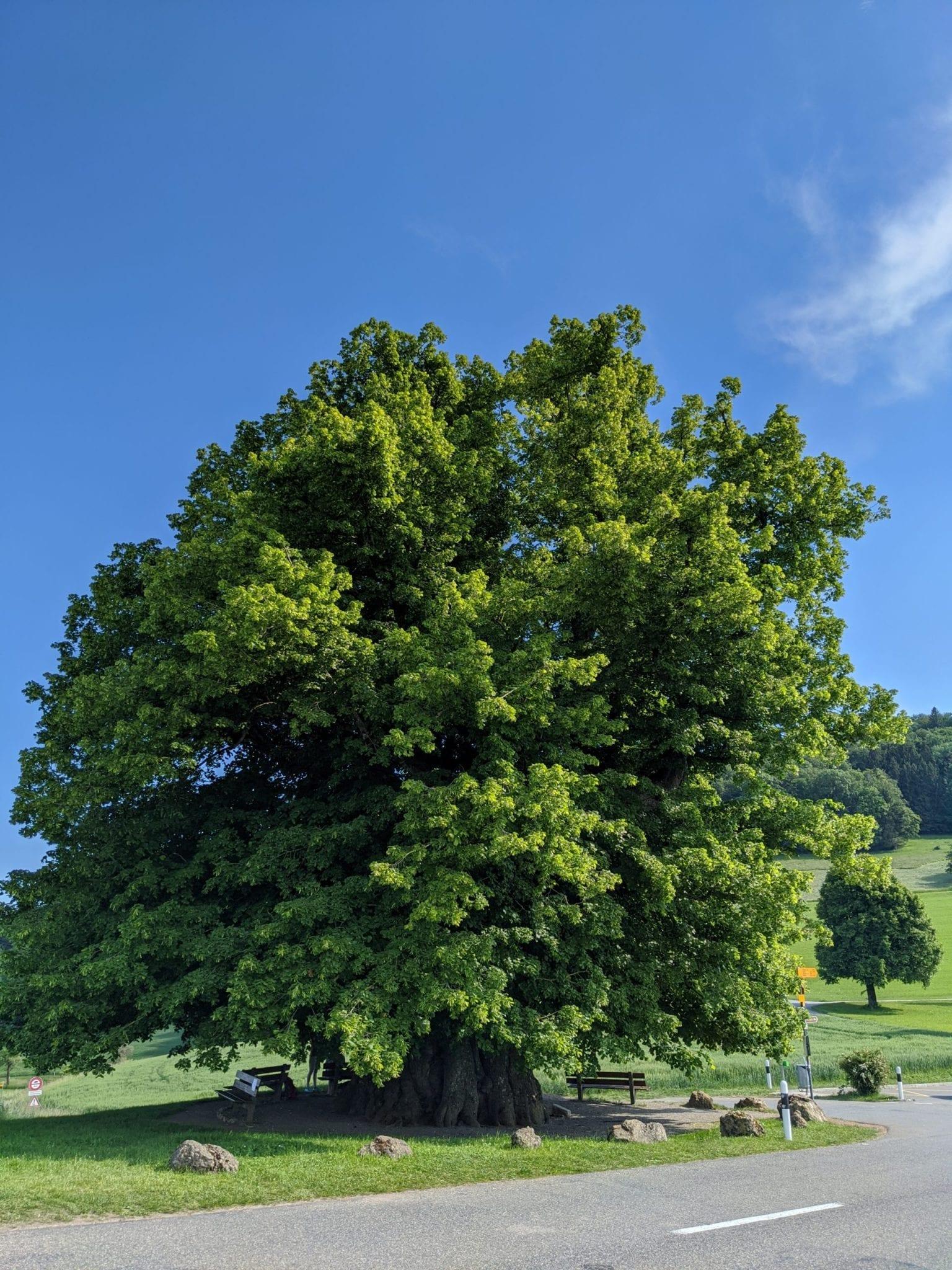
Map of the route “Römerweg Rundwanderung”: 12.419 m, 310 m of climbing and 321 m of descent, elevation between 435 m and 581 m, time 02:41:30. It is a loop that starts and ends at 47.47228, 8.12885 (latitude, longitude).
Gesamtstrecke: 12454 m
Maximale Höhe: 582 m
Minimale Höhe: 435 m
Gesamtanstieg: 310 m
Gesamtabstieg: 321 m
Durchschnittsgeschwindigkeit: 11.55 min/km
Gesamtzeit: 02:41:58
Download file: roemerweg.gpx
Maximale Höhe: 582 m
Minimale Höhe: 435 m
Gesamtanstieg: 310 m
Gesamtabstieg: 321 m
Durchschnittsgeschwindigkeit: 11.55 min/km
Gesamtzeit: 02:41:58