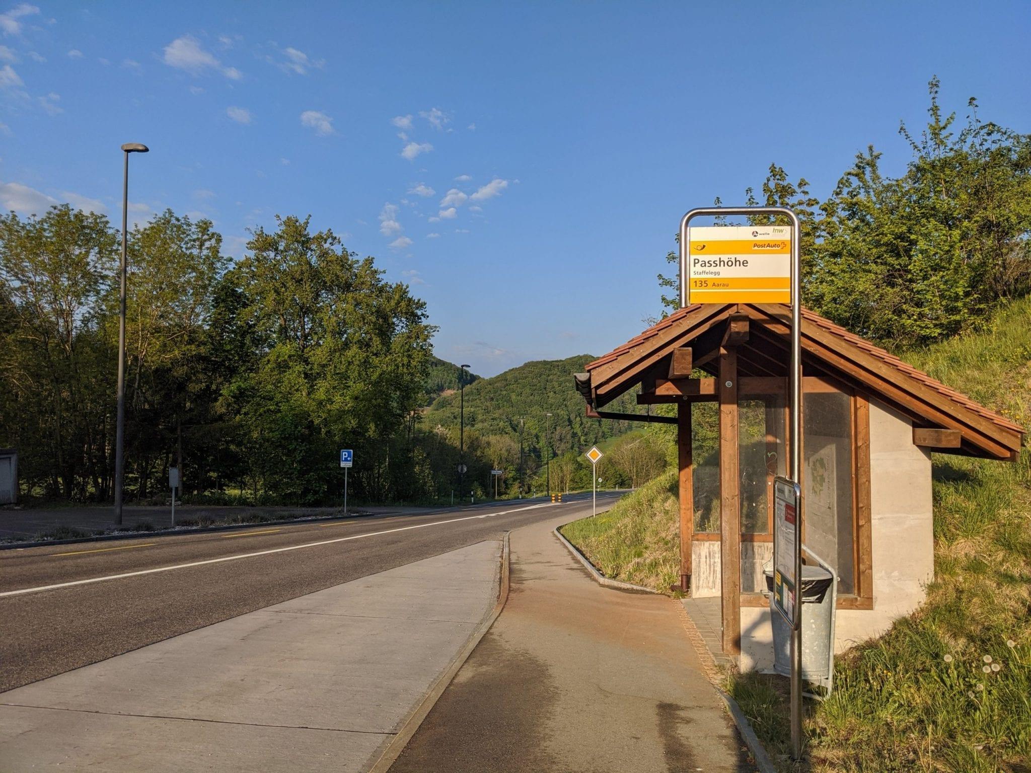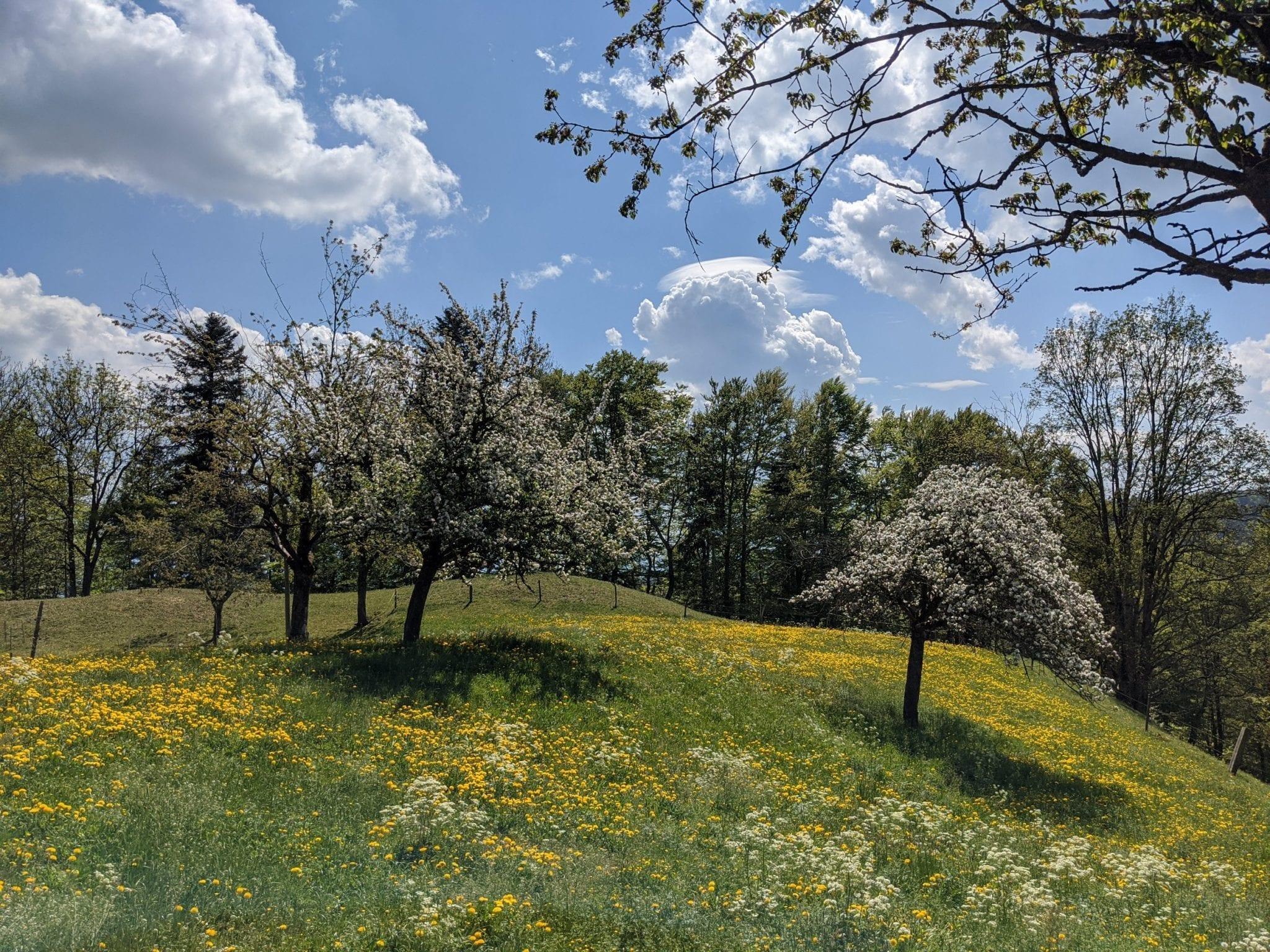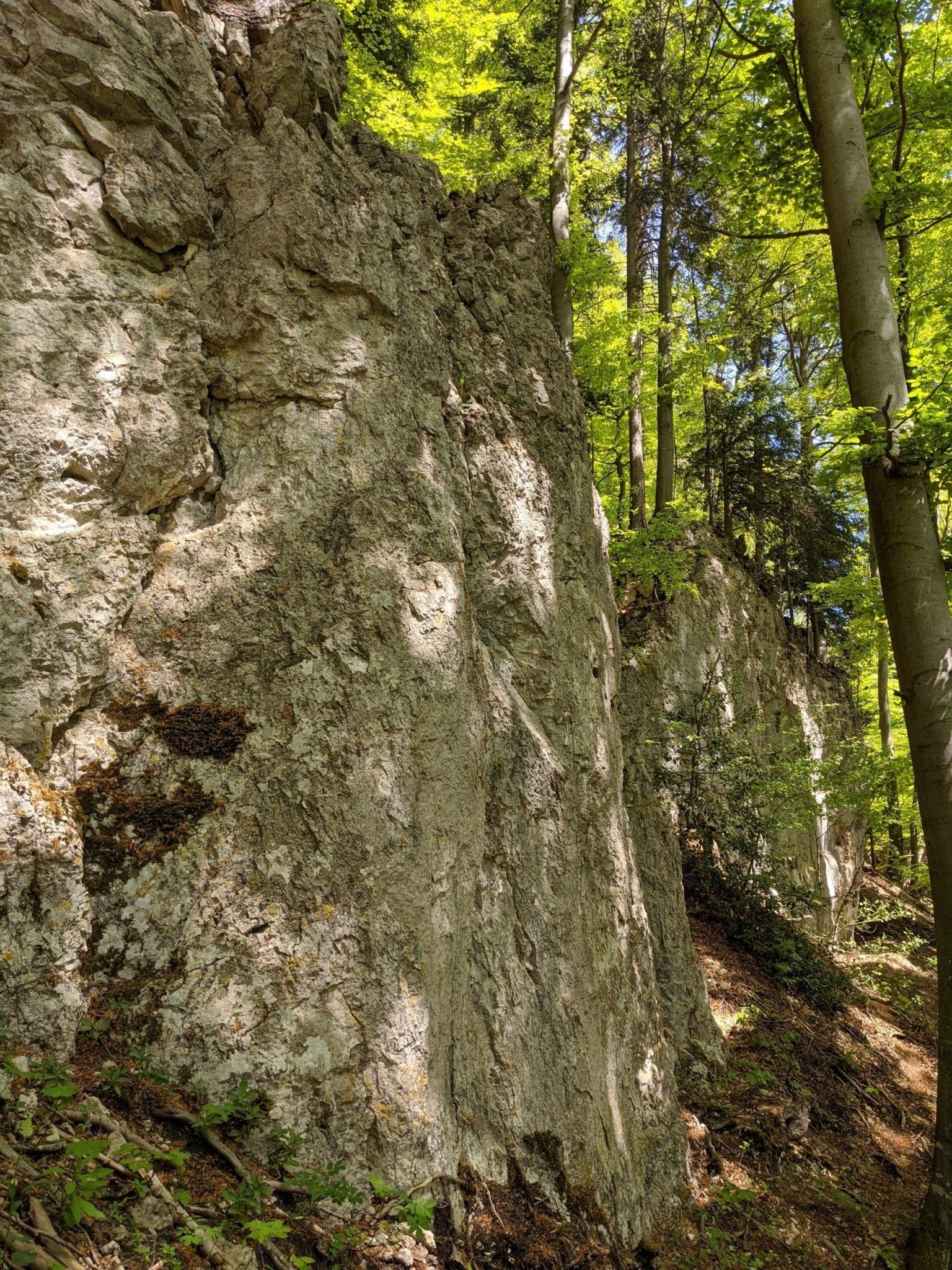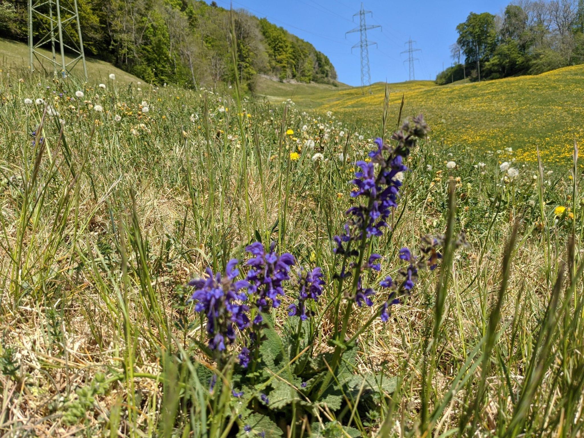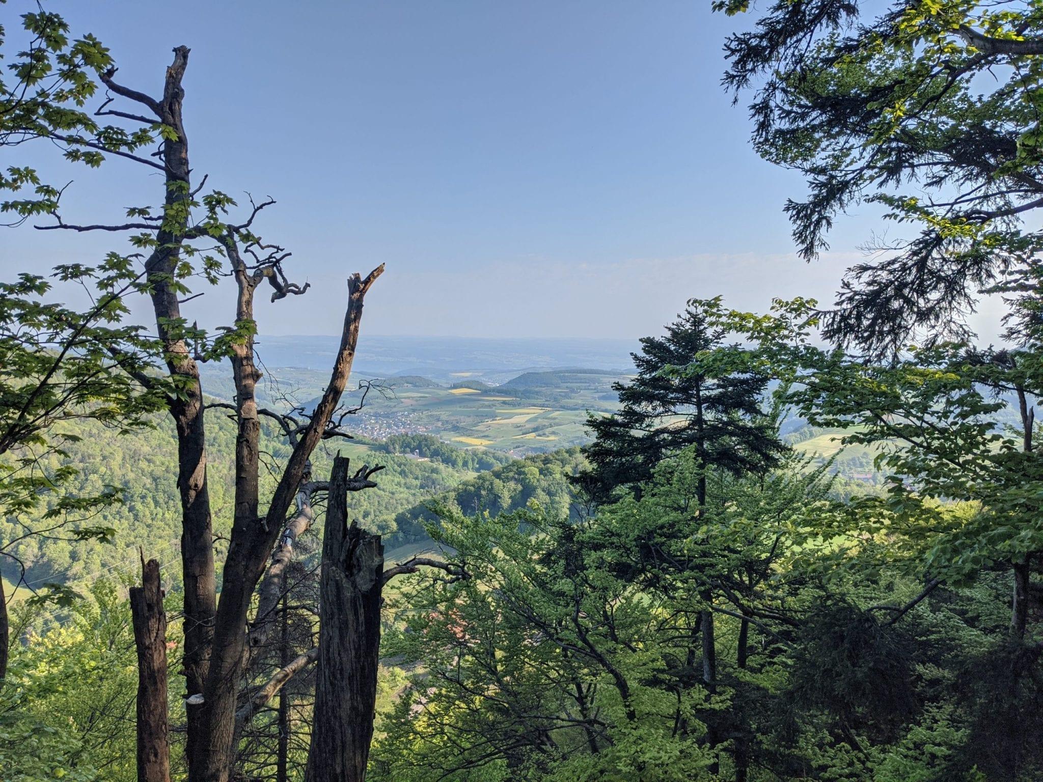
Map of the route “Jura Höhenweg Etappe 4, Staffelegg-Hägendorf”: 31.202 m, 1.280 m of climbing and 1.441 m of descent, elevation between 467 m and 977 m, time 07:43:36. It starts at 47.43382, 8.06023 and ends at 47.33118, 7.84347 (latitude, longitude).
Gesamtstrecke: 31297 m
Maximale Höhe: 978 m
Minimale Höhe: 466 m
Gesamtanstieg: 1280 m
Gesamtabstieg: 1441 m
Durchschnittsgeschwindigkeit: 12.06 min/km
Gesamtzeit: 07:44:04
Download file: activity_4835270525.gpx
Maximale Höhe: 978 m
Minimale Höhe: 466 m
Gesamtanstieg: 1280 m
Gesamtabstieg: 1441 m
Durchschnittsgeschwindigkeit: 12.06 min/km
Gesamtzeit: 07:44:04