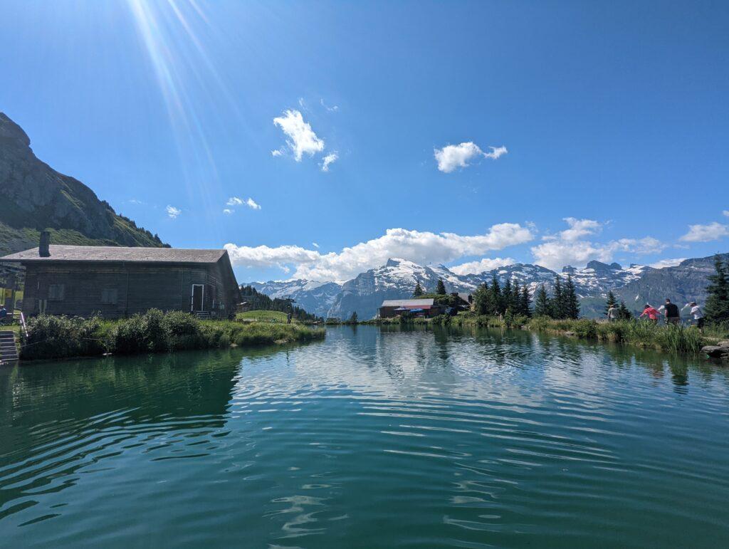
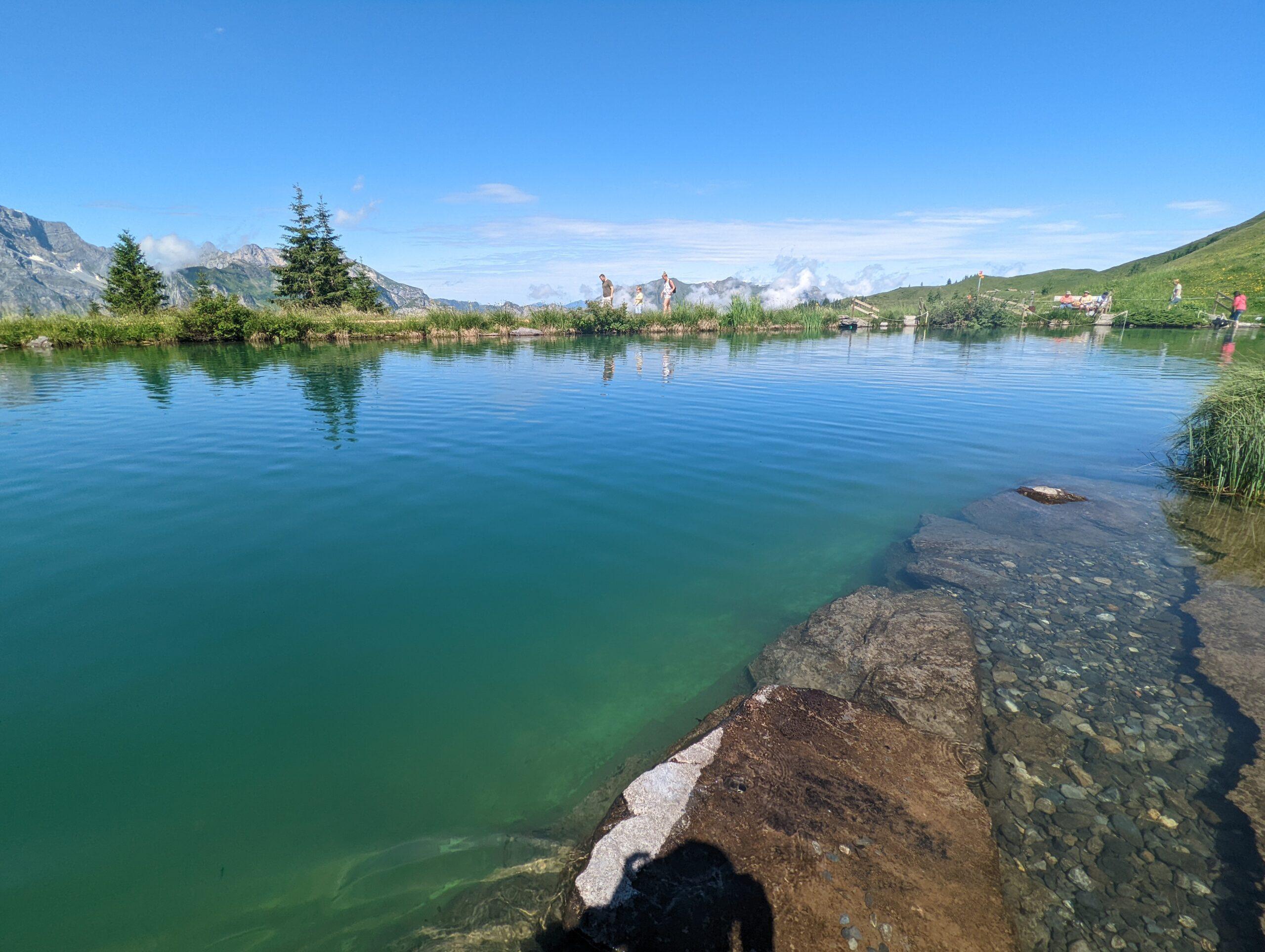
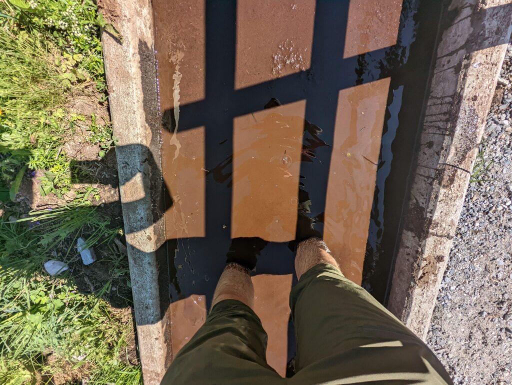
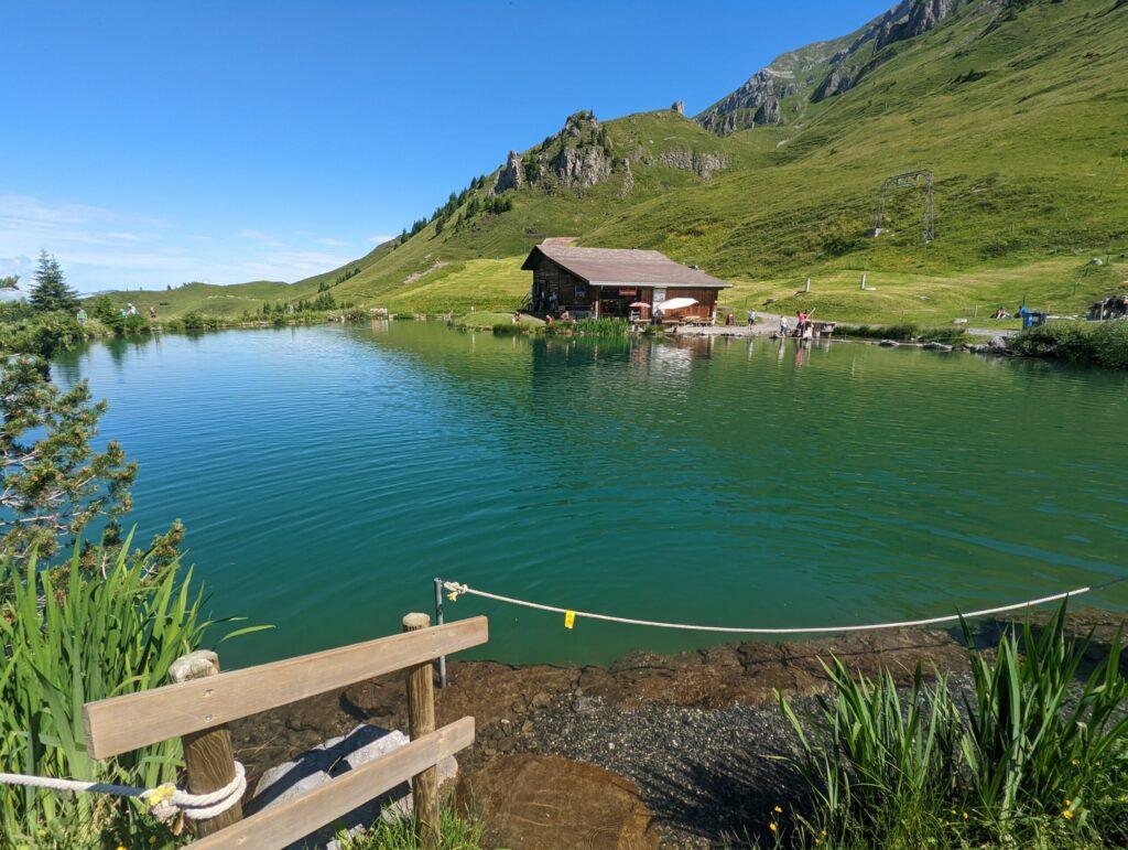
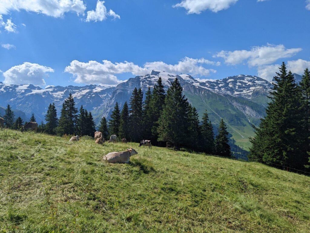
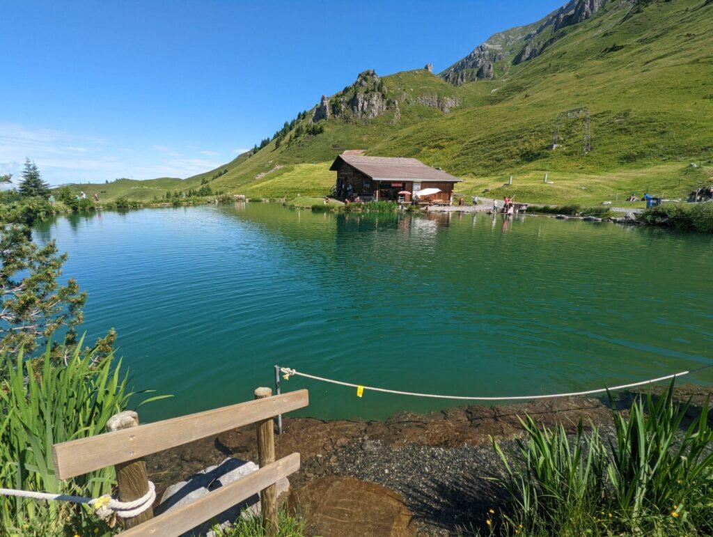
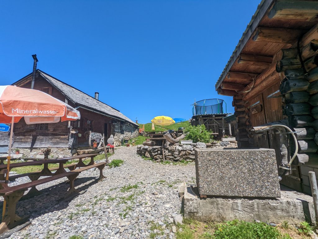
Map of the route “Walenpfad Engelberg – Brunnihütte – Bannalp – Chrützhütte”: 12.033 m, 1.308 m of climbing and 1.196 m of descent, elevation between 1.580 m and 1.926 m, time 02:39:26. It starts at 46.83252, 8.40767 and ends at 46.87124, 8.43681 (latitude, longitude).
Gesamtstrecke: 12033 m
Maximale Höhe: 1928 m
Minimale Höhe: 1579 m
Gesamtanstieg: 1308 m
Gesamtabstieg: 1196 m
Durchschnittsgeschwindigkeit: 10.32 min/km
Gesamtzeit: 02:39:26
Download file: activity_9088941526.gpx
Maximale Höhe: 1928 m
Minimale Höhe: 1579 m
Gesamtanstieg: 1308 m
Gesamtabstieg: 1196 m
Durchschnittsgeschwindigkeit: 10.32 min/km
Gesamtzeit: 02:39:26