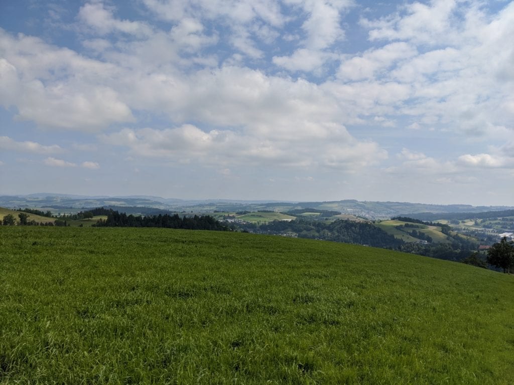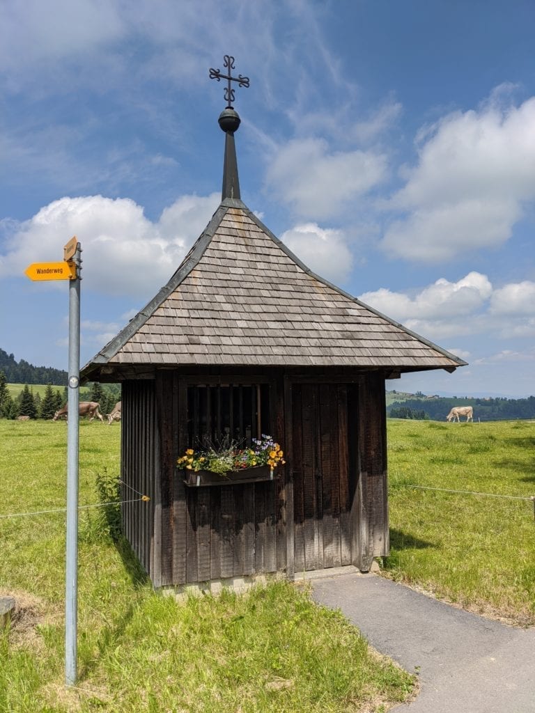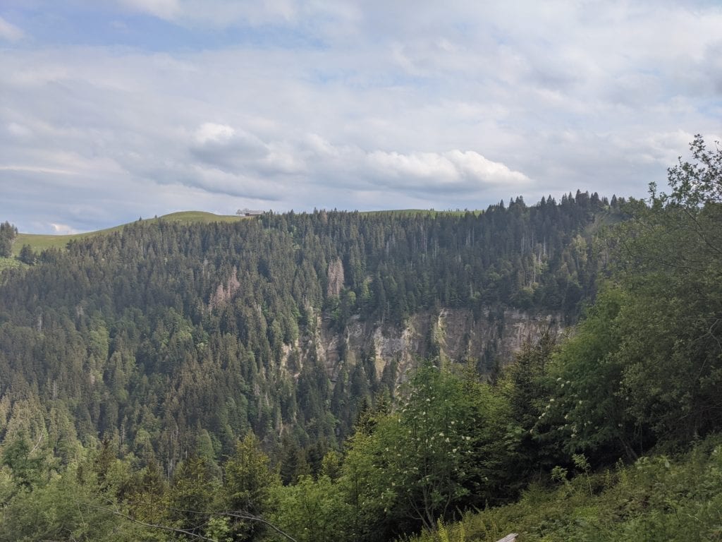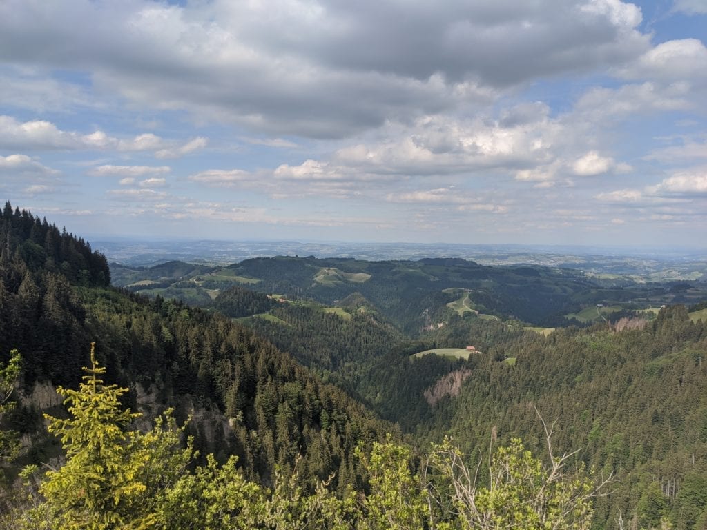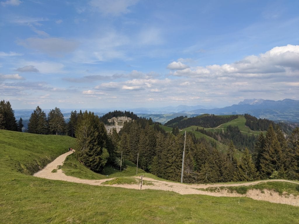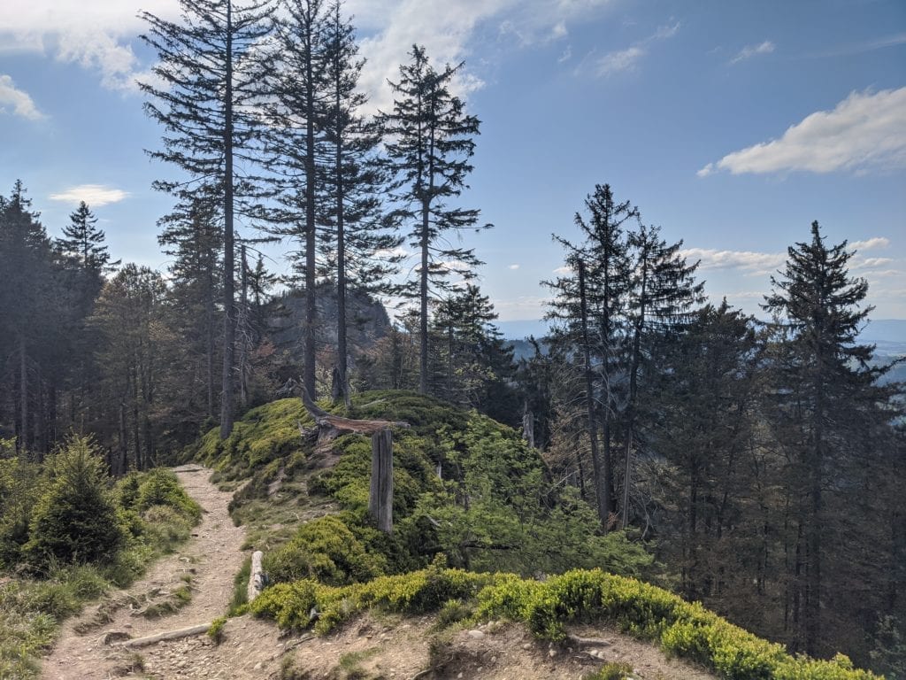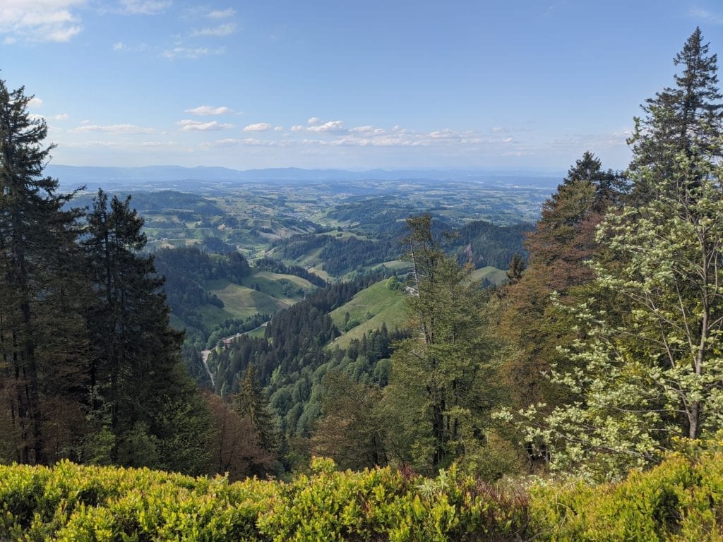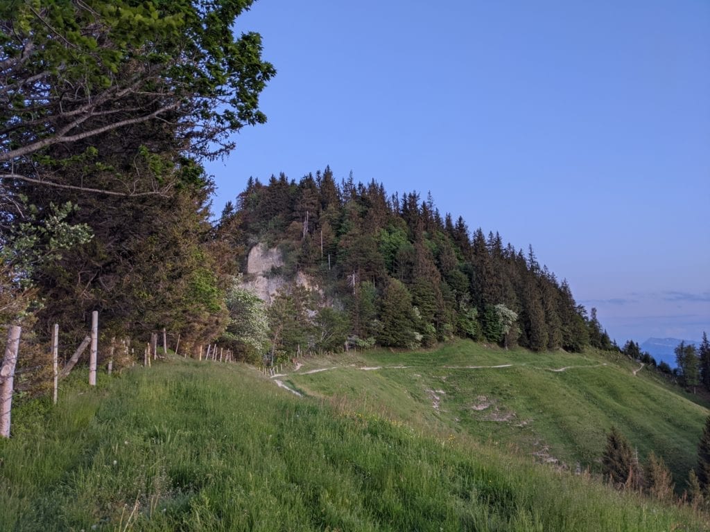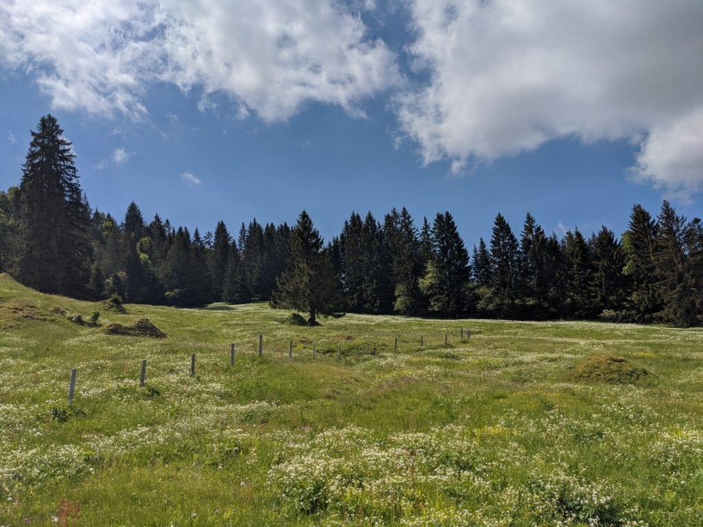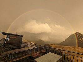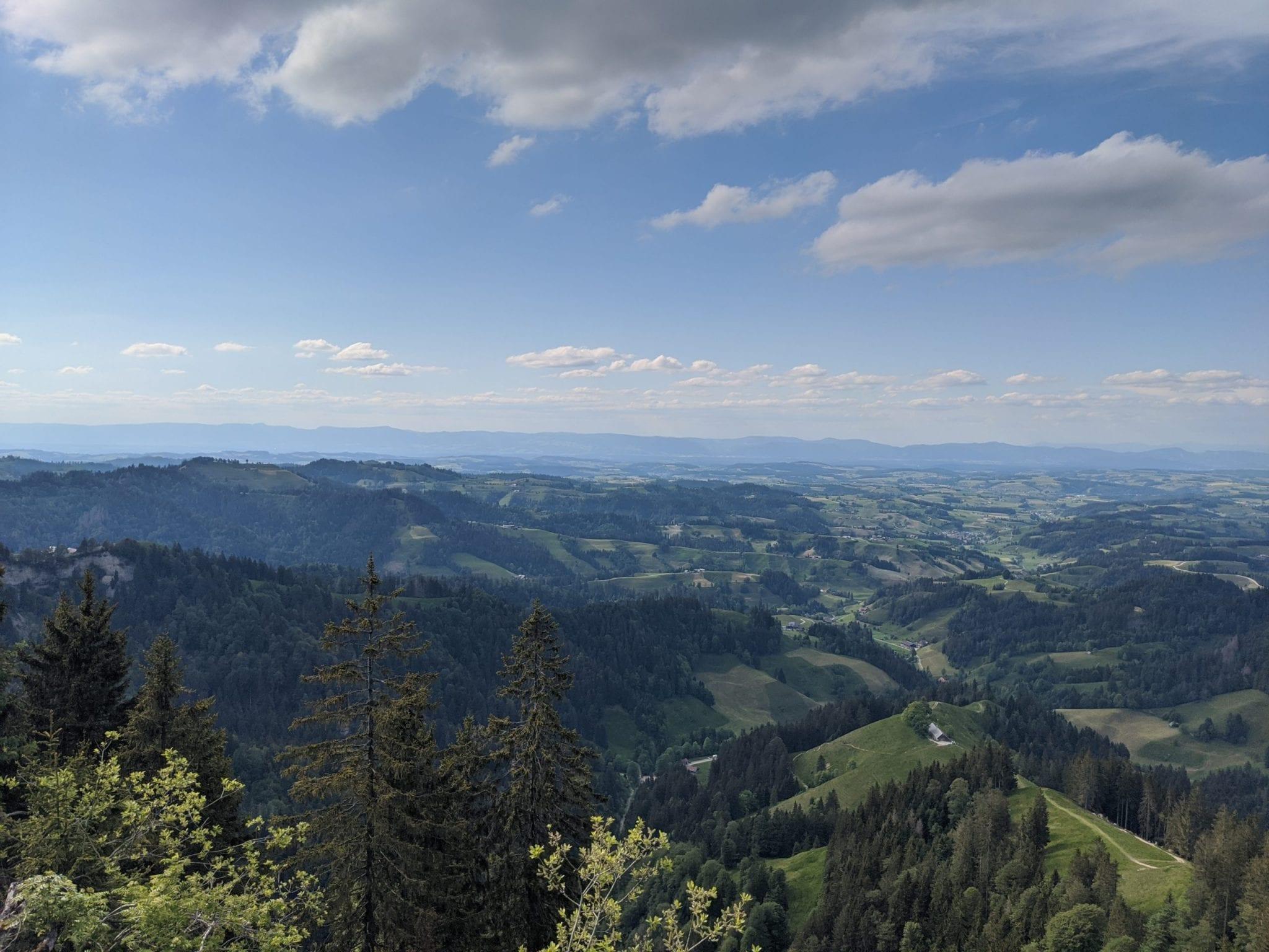
Map of the route “Wolhusen – Napf -Langnau i.E.”: 41.564 m, 2.534 m of climbing and 2.435 m of descent, elevation between 566 m and 1.395 m, time 28:04:59. It starts at 47.05548, 8.07946 and ends at 46.93940, 7.78444 (latitude, longitude).
Gesamtstrecke: 41587 m
Maximale Höhe: 1395 m
Minimale Höhe: 566 m
Gesamtanstieg: 2534 m
Gesamtabstieg: 2435 m
Durchschnittsgeschwindigkeit: 13.49 min/km
Gesamtzeit: 28:05:32
Download file: wolhusen-langnau.gpx
Maximale Höhe: 1395 m
Minimale Höhe: 566 m
Gesamtanstieg: 2534 m
Gesamtabstieg: 2435 m
Durchschnittsgeschwindigkeit: 13.49 min/km
Gesamtzeit: 28:05:32