Gmüetlich ufe
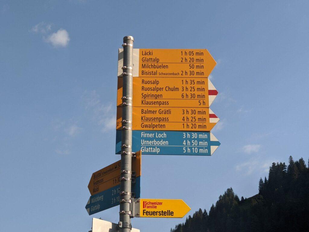
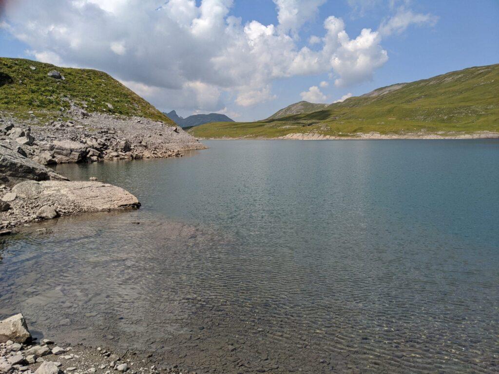
Map of the route “Bisisthal Säli zum Glattalp See und zurück”: 9.547 m, 966 m of climbing and 256 m of descent, elevation between 1.159 m and 1.873 m, time 05:24:07. It starts at 46.91459, 8.84799 and ends at 46.91523, 8.87357 (latitude, longitude).
Gesamtstrecke: 9552 m
Maximale Höhe: 1874 m
Minimale Höhe: 1159 m
Gesamtanstieg: 966 m
Gesamtabstieg: 256 m
Durchschnittsgeschwindigkeit: 13.48 min/km
Gesamtzeit: 05:24:13
Download file: fluehutte-oberes-huttli.gpxund es bizeli sportlicher wieder abe: 🙂
Maximale Höhe: 1874 m
Minimale Höhe: 1159 m
Gesamtanstieg: 966 m
Gesamtabstieg: 256 m
Durchschnittsgeschwindigkeit: 13.48 min/km
Gesamtzeit: 05:24:13
Map of the route “Bisisthal Säli zum Glattalp See und zurück”: 4.606 m, 154 m of climbing and 871 m of descent, elevation between 1.152 m and 1.872 m, time 00:31:32. It starts at 46.91517, 8.87359 and ends at 46.91447, 8.84746 (latitude, longitude).
Gesamtstrecke: 4618 m
Maximale Höhe: 1871 m
Minimale Höhe: 1151 m
Gesamtanstieg: 154 m
Gesamtabstieg: 871 m
Durchschnittsgeschwindigkeit: 6.06 min/km
Gesamtzeit: 00:31:36
Download file: oberes-huttli-fluehutte.gpx
Maximale Höhe: 1871 m
Minimale Höhe: 1151 m
Gesamtanstieg: 154 m
Gesamtabstieg: 871 m
Durchschnittsgeschwindigkeit: 6.06 min/km
Gesamtzeit: 00:31:36