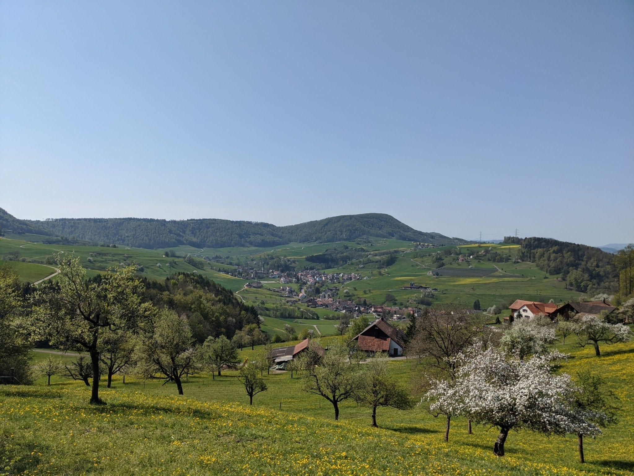
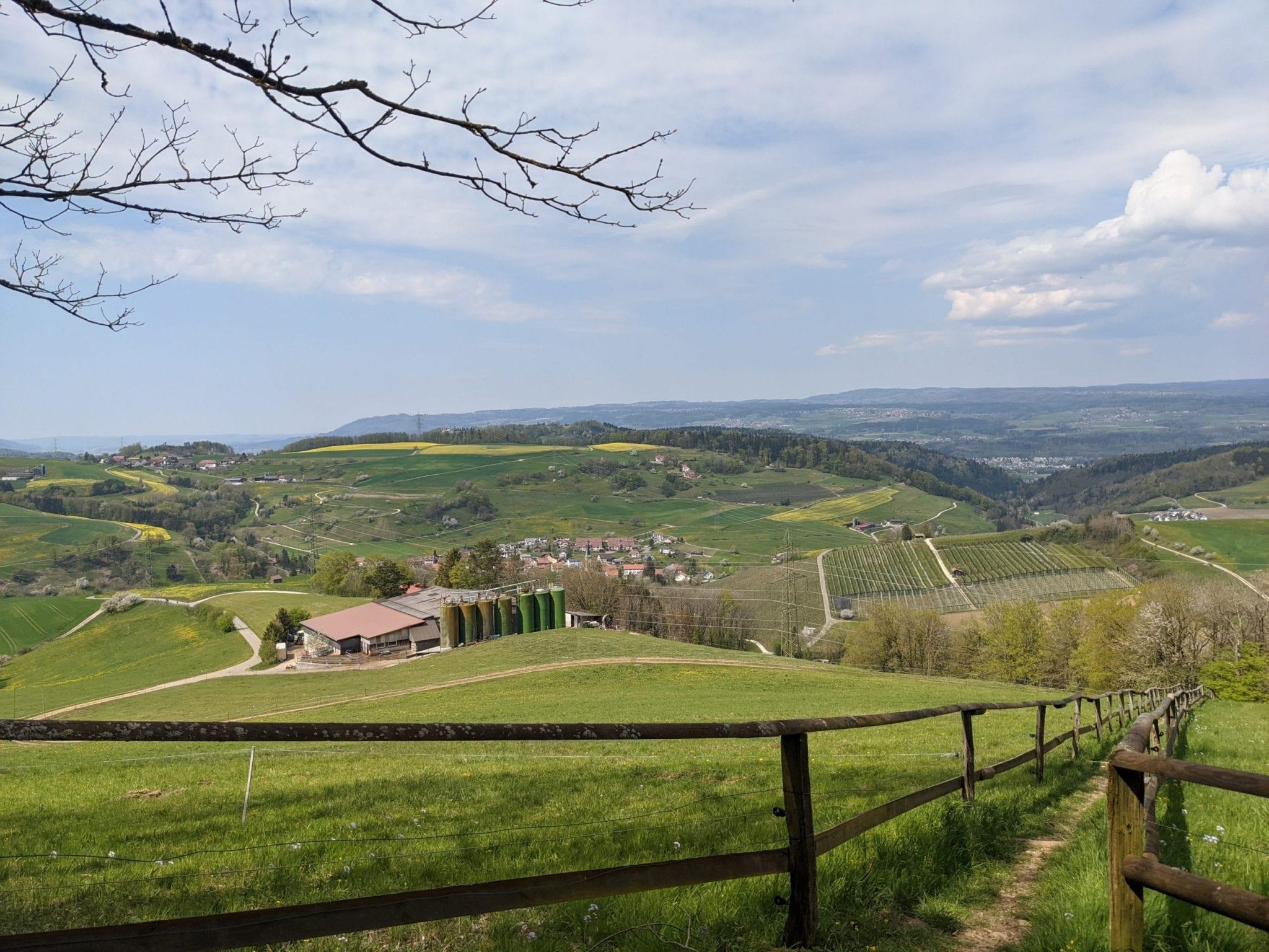
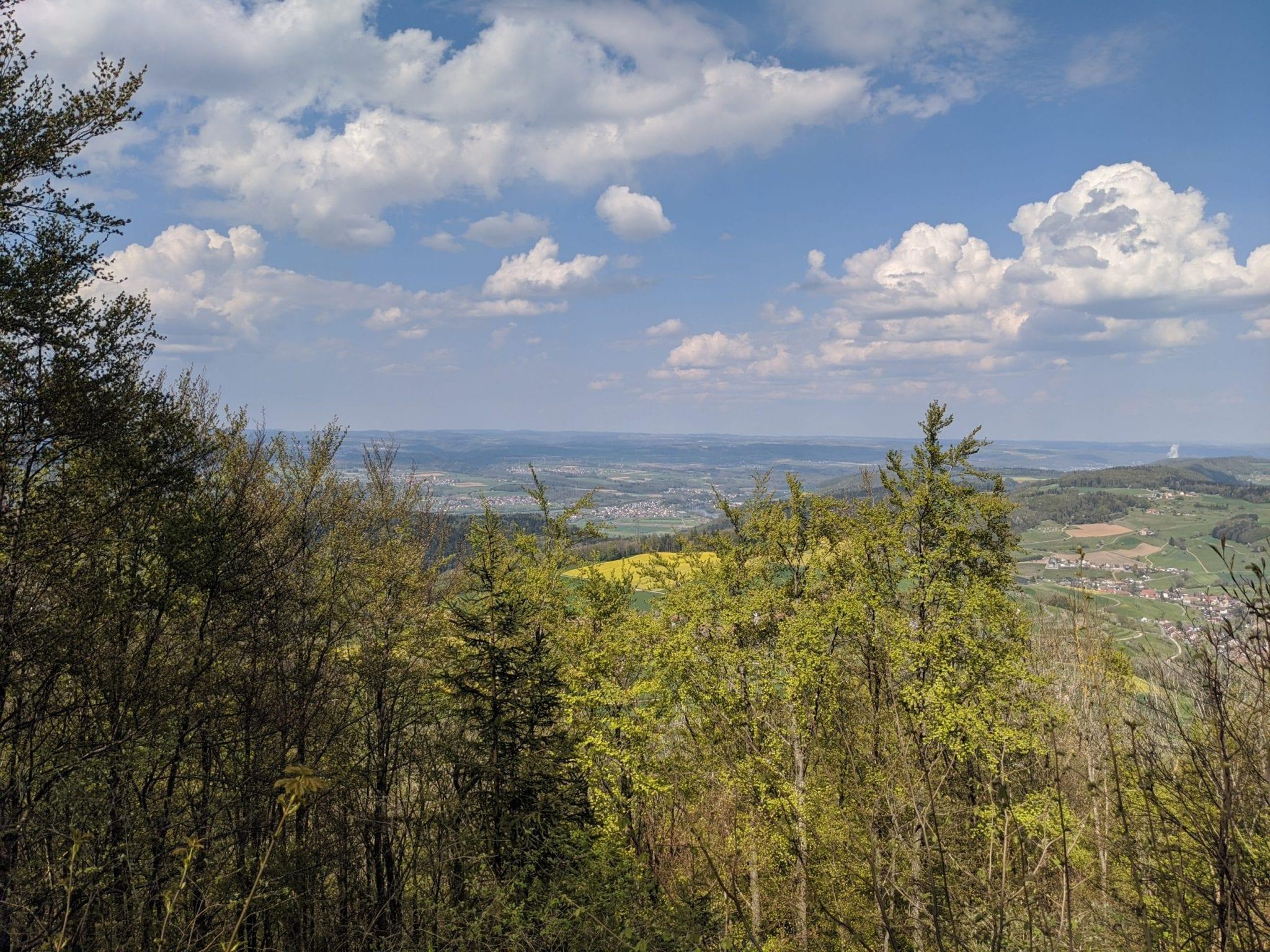
Map of the route “Rund um Sulz”: 24.583 m, 1.047 m of climbing and 1.045 m of descent, elevation between 312 m and 691 m, time 05:15:16. It is a loop that starts and ends at 47.55237, 8.08963 (latitude, longitude).
Gesamtstrecke: 24593 m
Maximale Höhe: 689 m
Minimale Höhe: 311 m
Gesamtanstieg: 1047 m
Gesamtabstieg: 1045 m
Durchschnittsgeschwindigkeit: 10.46 min/km
Gesamtzeit: 05:15:25
Download file: rund_um_sulz.gpx
Maximale Höhe: 689 m
Minimale Höhe: 311 m
Gesamtanstieg: 1047 m
Gesamtabstieg: 1045 m
Durchschnittsgeschwindigkeit: 10.46 min/km
Gesamtzeit: 05:15:25