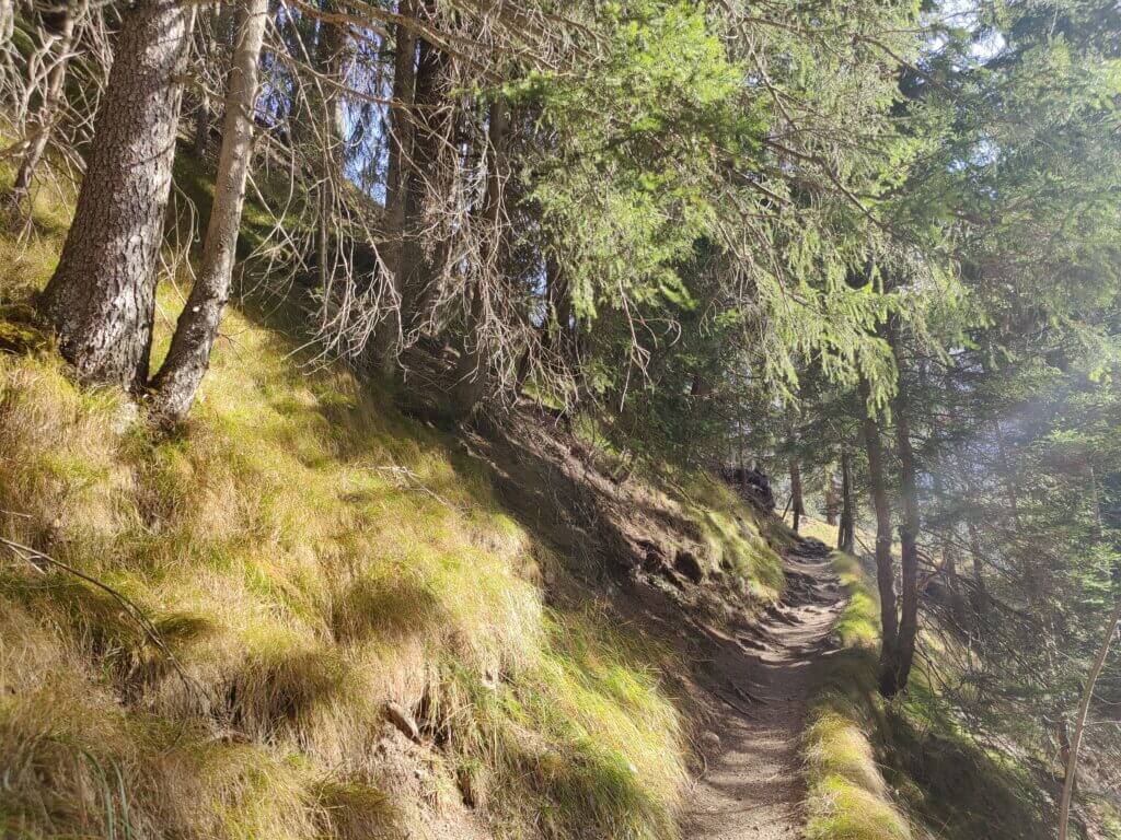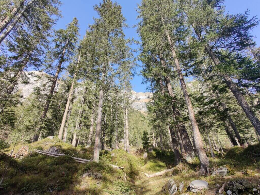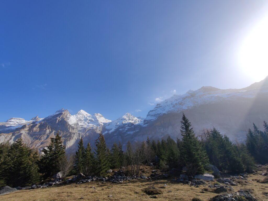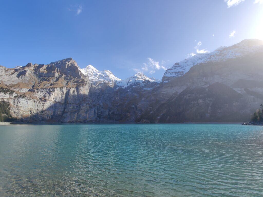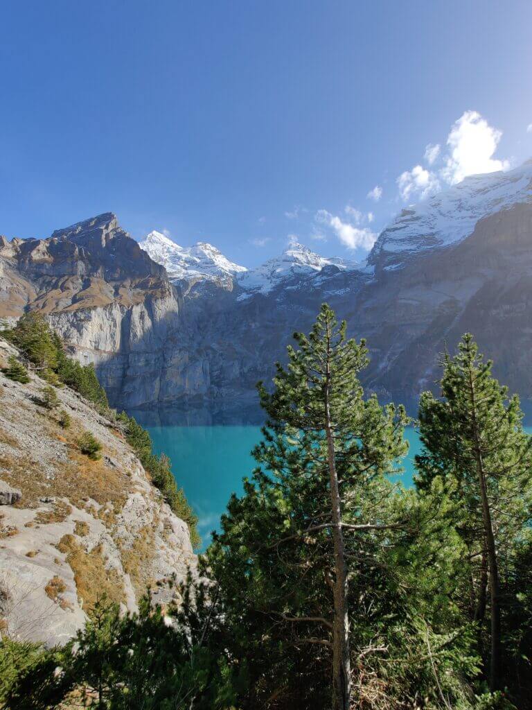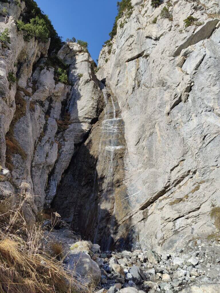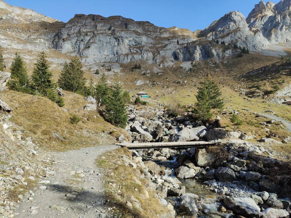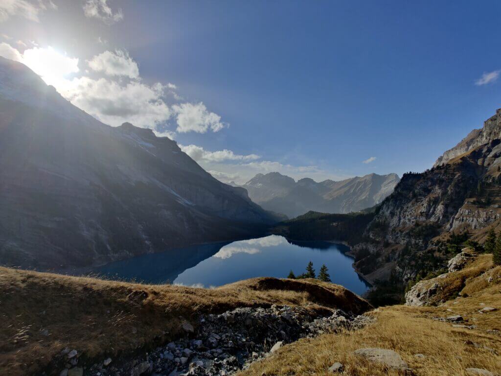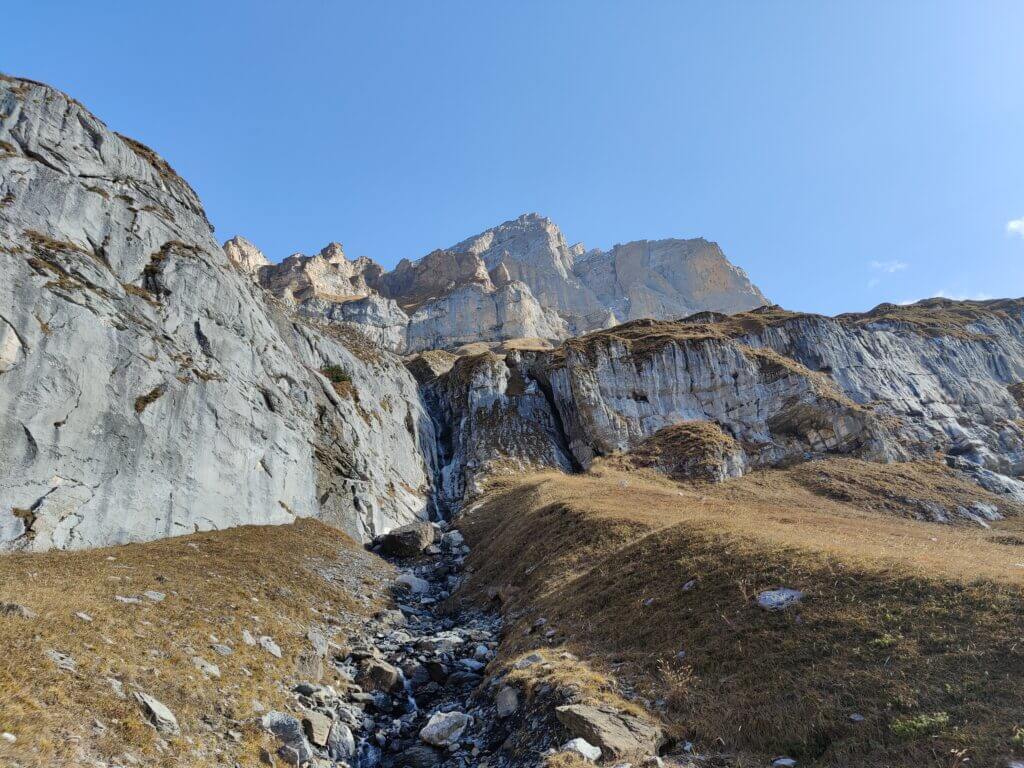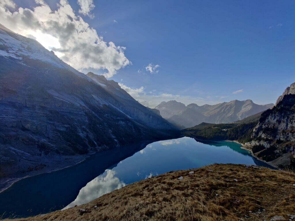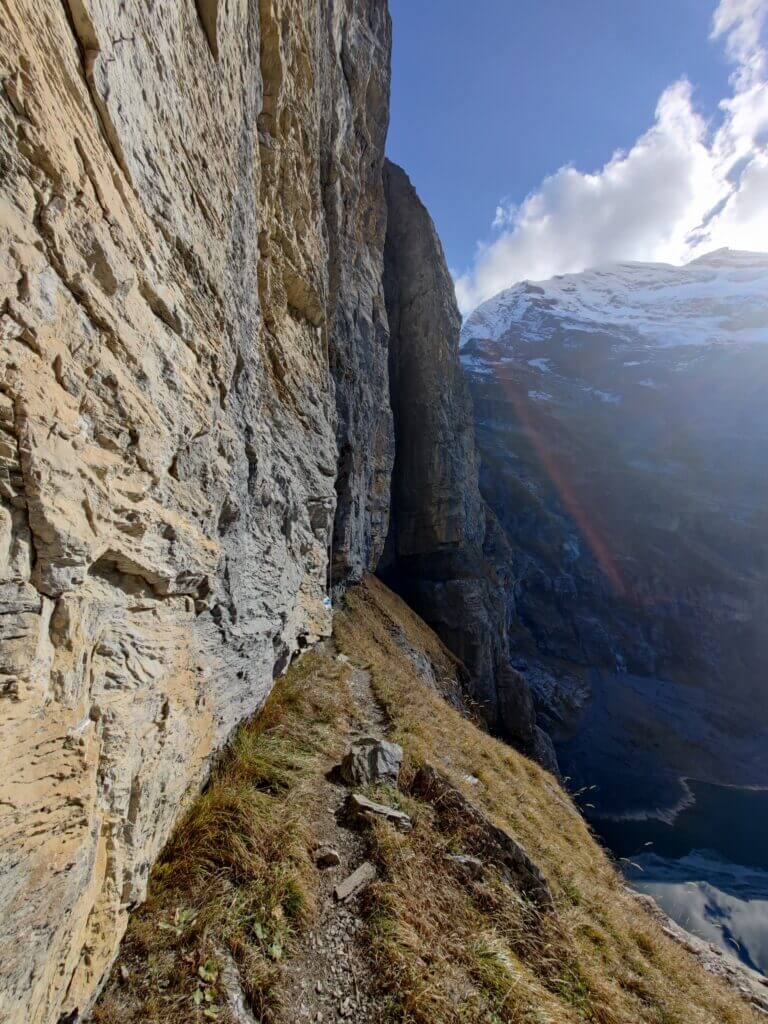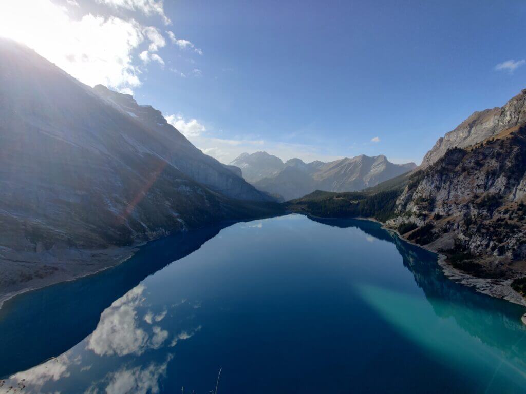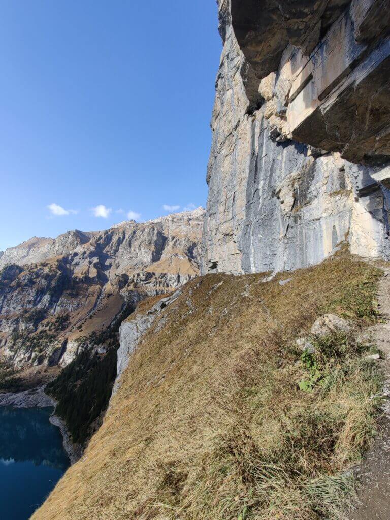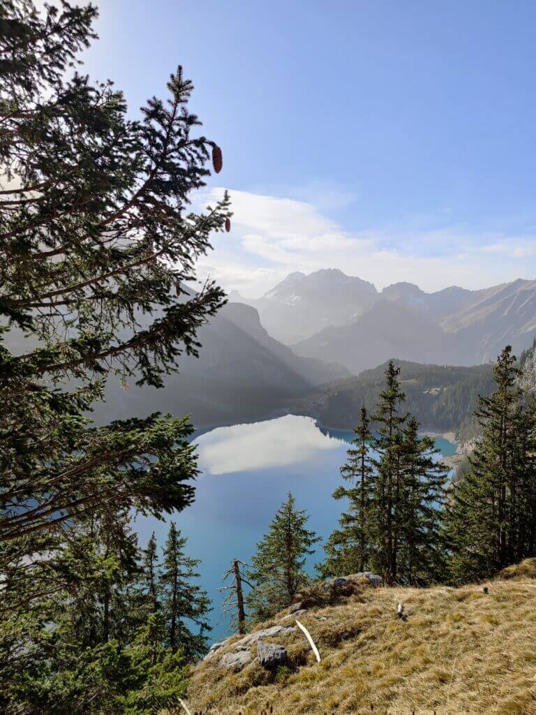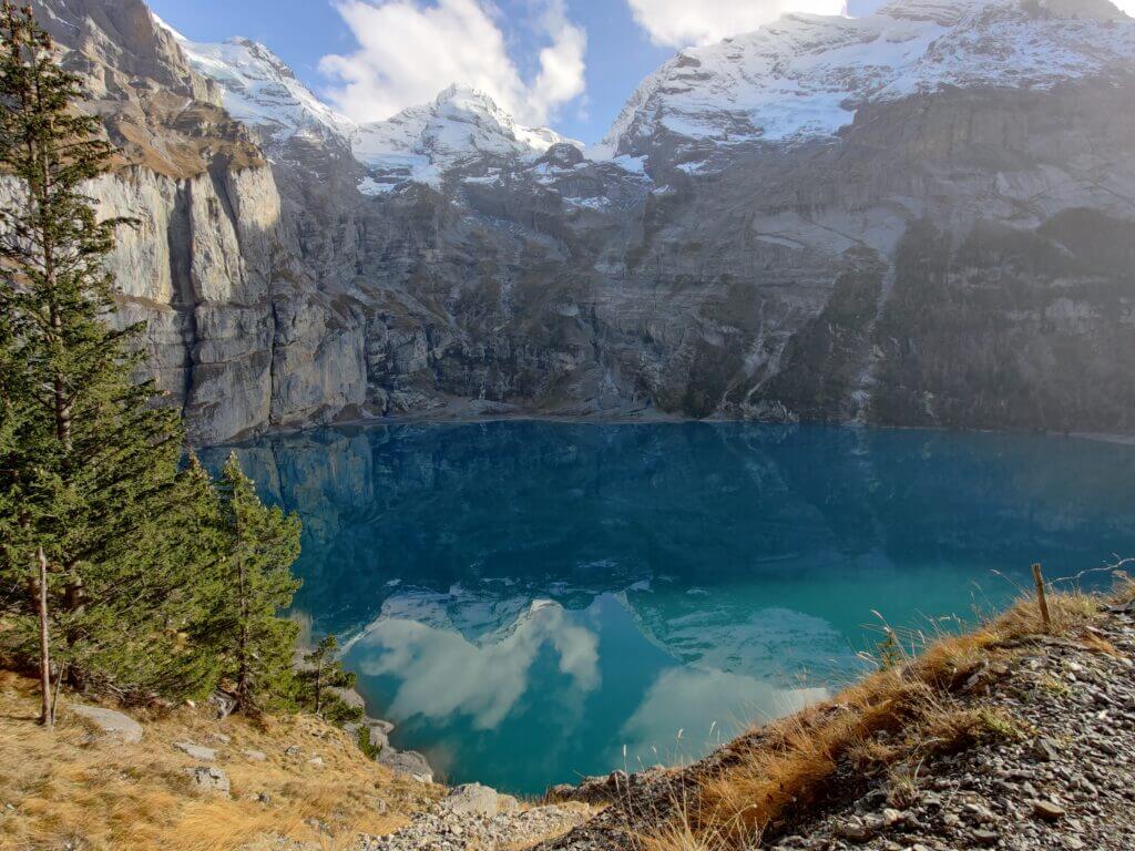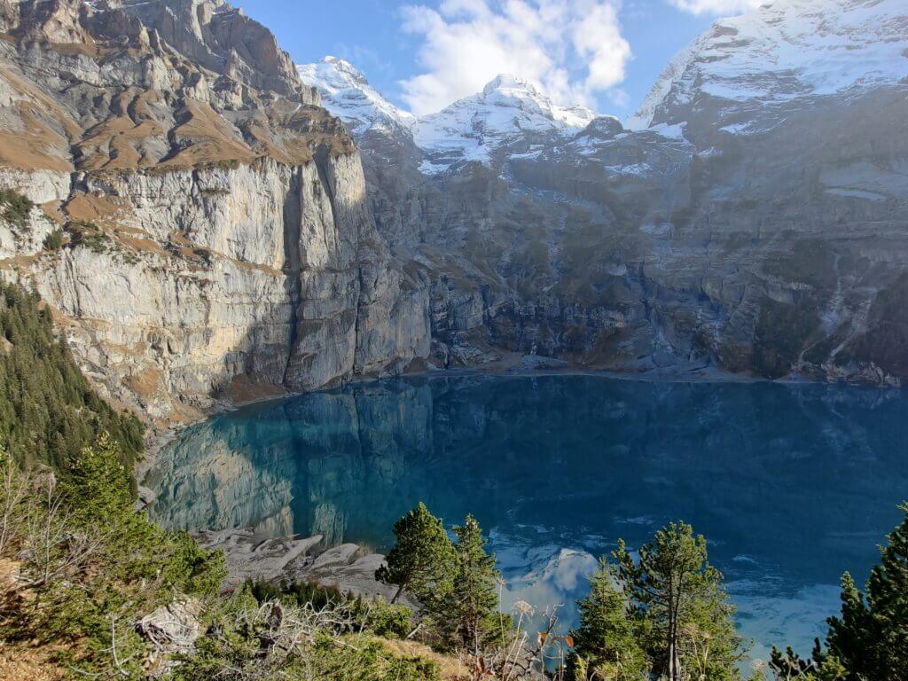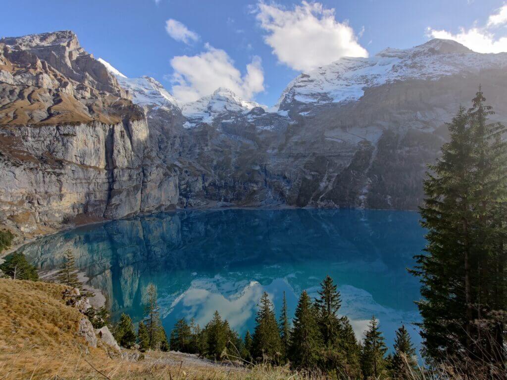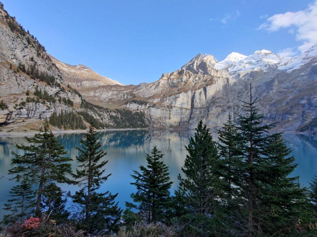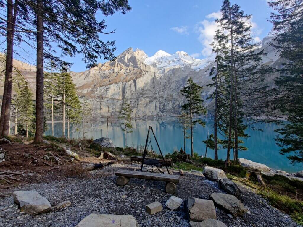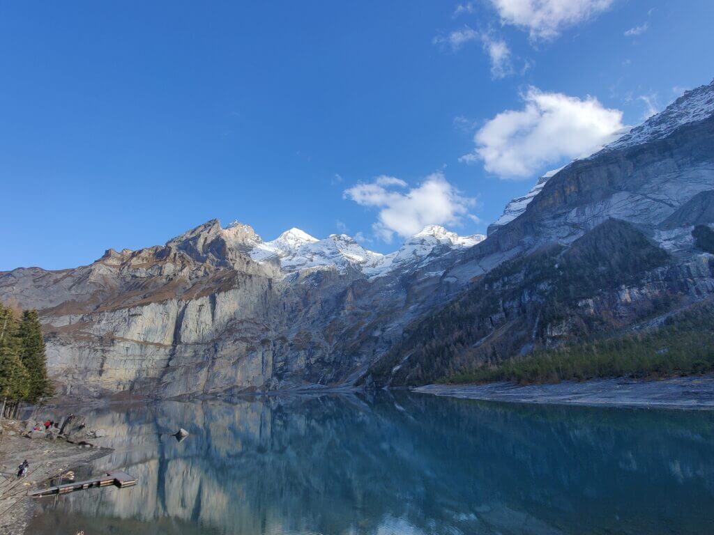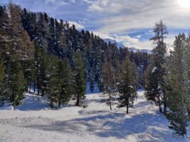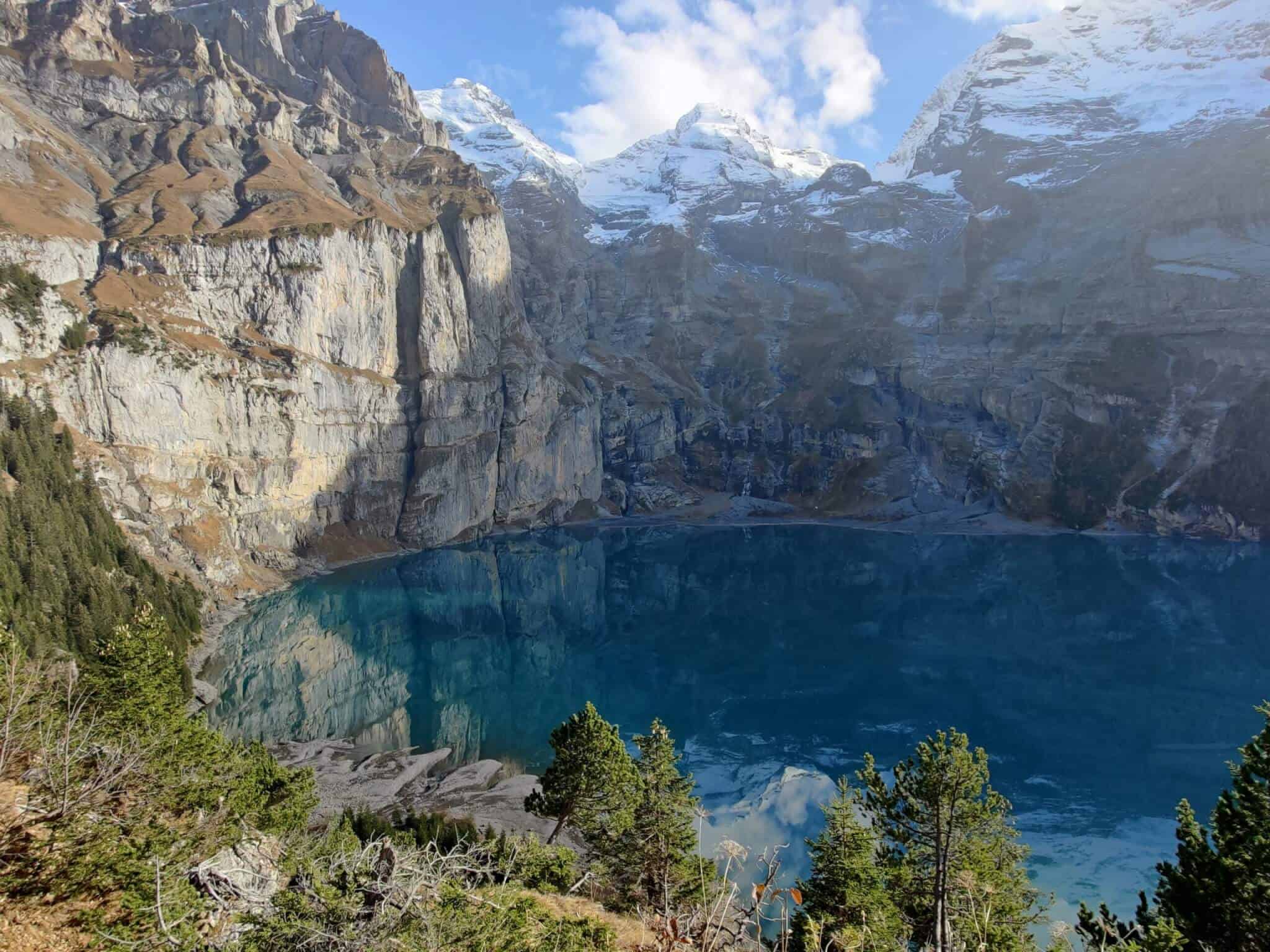
Map of the route “Kandersteg – Öschinensee – Kandersteg”: 15.616 m, 908 m of climbing and 898 m of descent, elevation between 1.212 m and 1.868 m, time 03:26:44. It is a loop that starts and ends at 46.49566, 7.67186 (latitude, longitude).
Gesamtstrecke: 15654 m
Maximale Höhe: 1869 m
Minimale Höhe: 1212 m
Gesamtanstieg: 908 m
Gesamtabstieg: 898 m
Durchschnittsgeschwindigkeit: 10.24 min/km
Gesamtzeit: 03:27:06
Download file: activity_5791976916.gpx
Maximale Höhe: 1869 m
Minimale Höhe: 1212 m
Gesamtanstieg: 908 m
Gesamtabstieg: 898 m
Durchschnittsgeschwindigkeit: 10.24 min/km
Gesamtzeit: 03:27:06