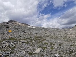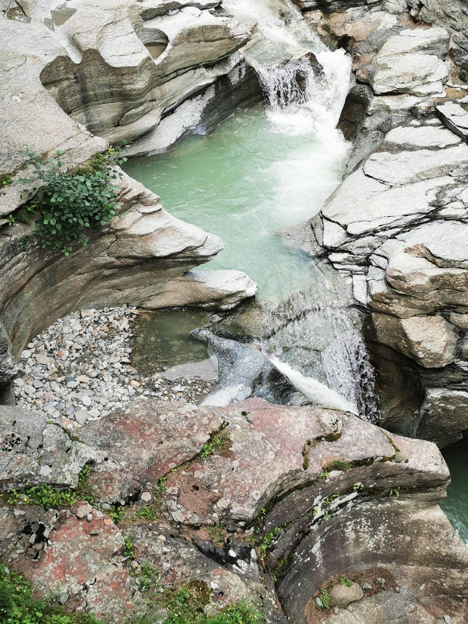

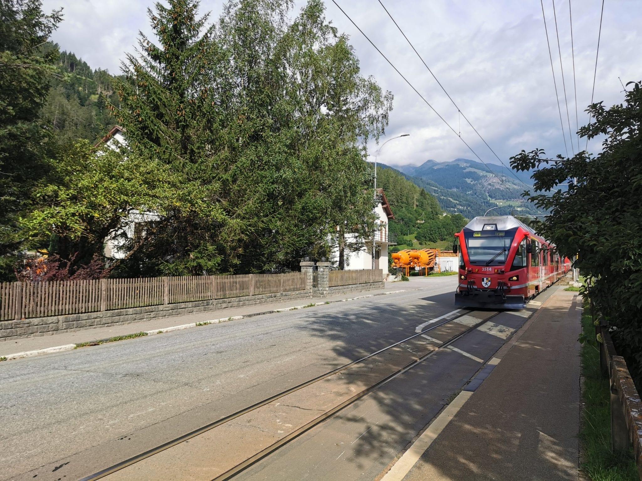
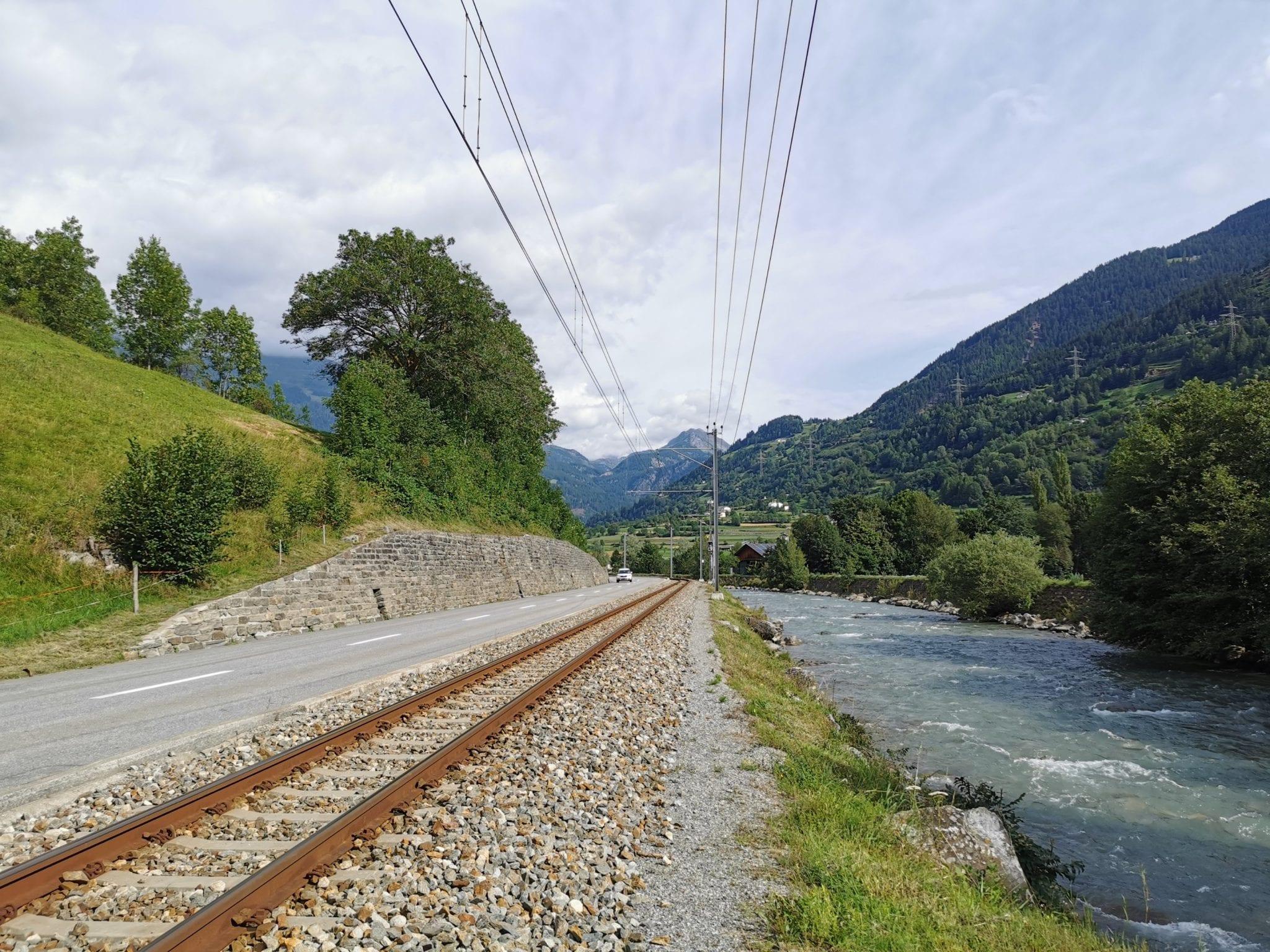
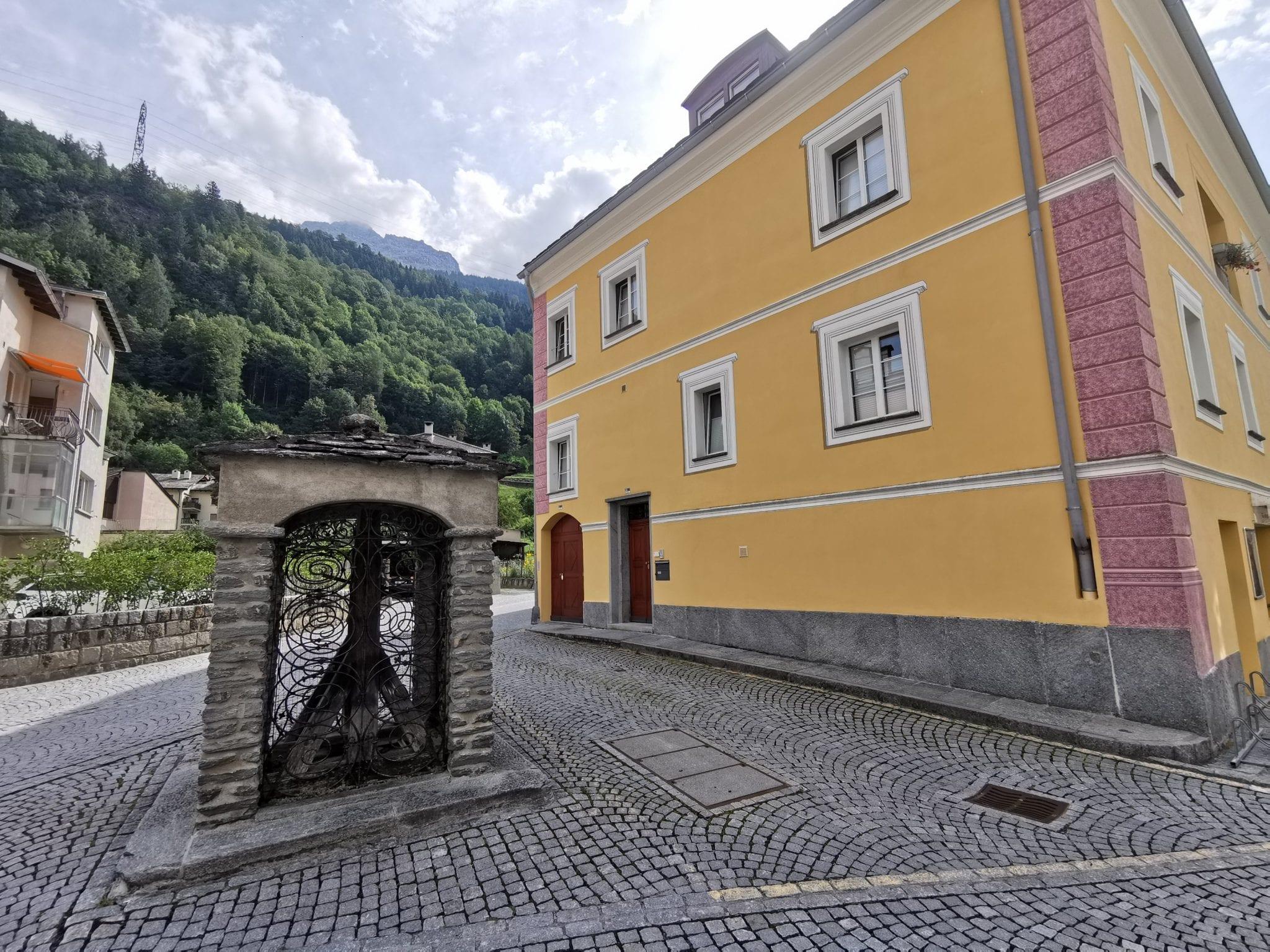
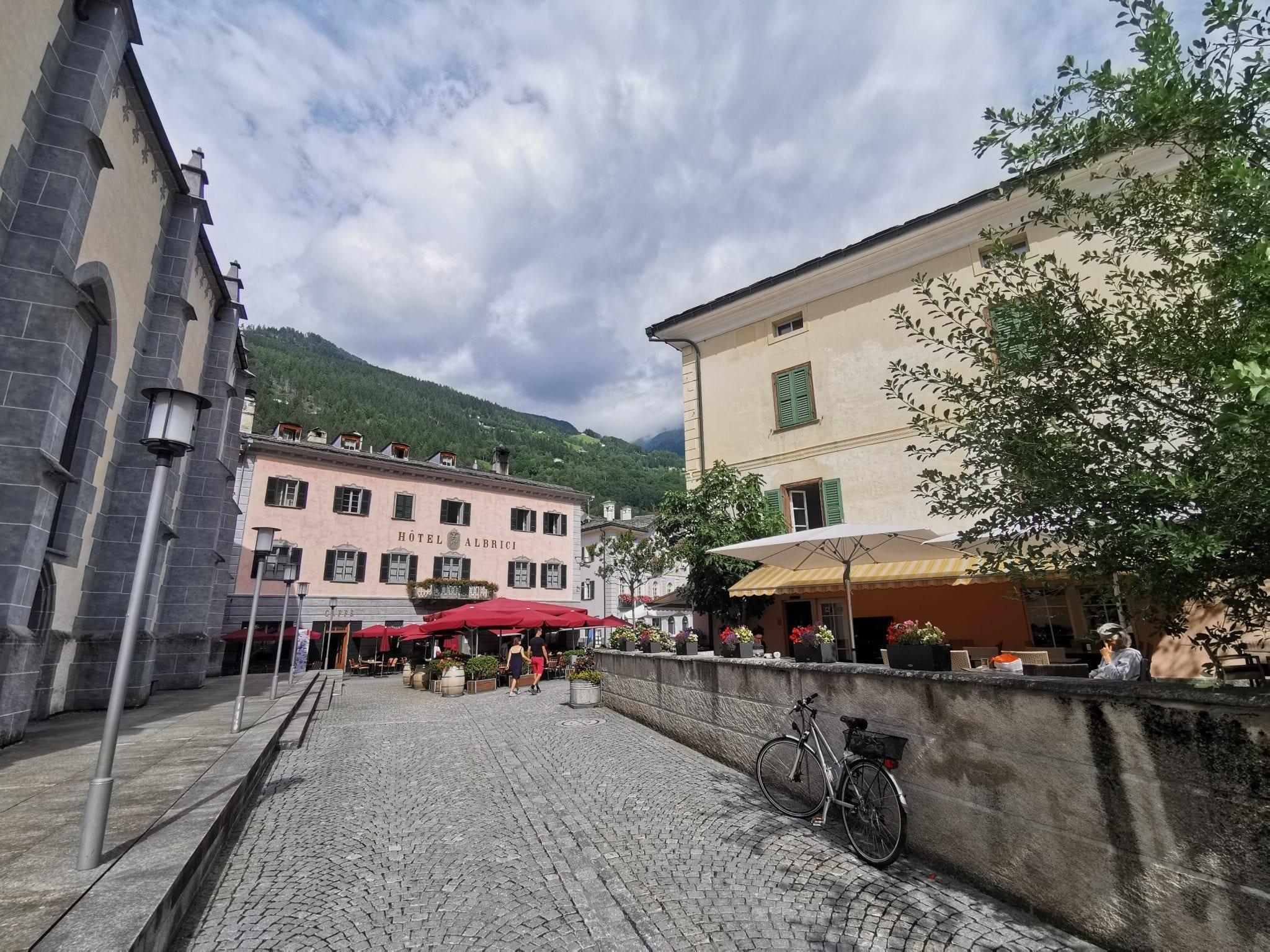
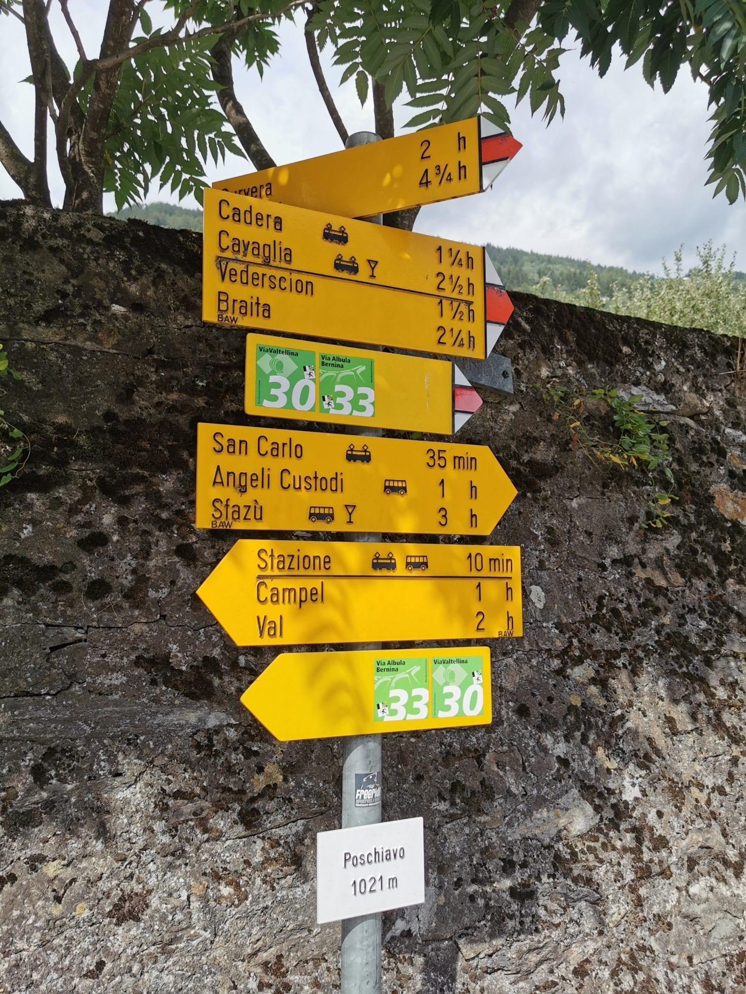
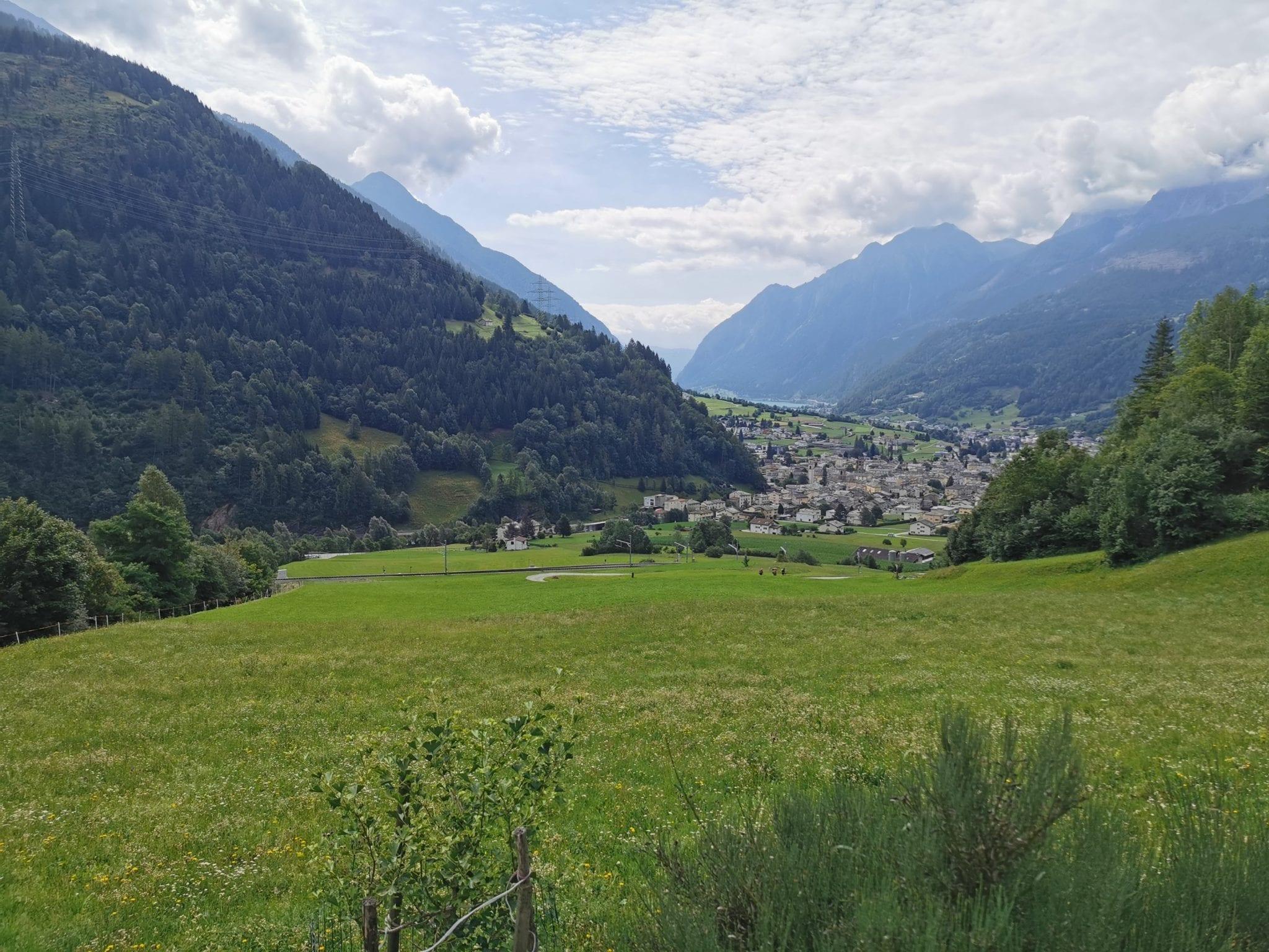
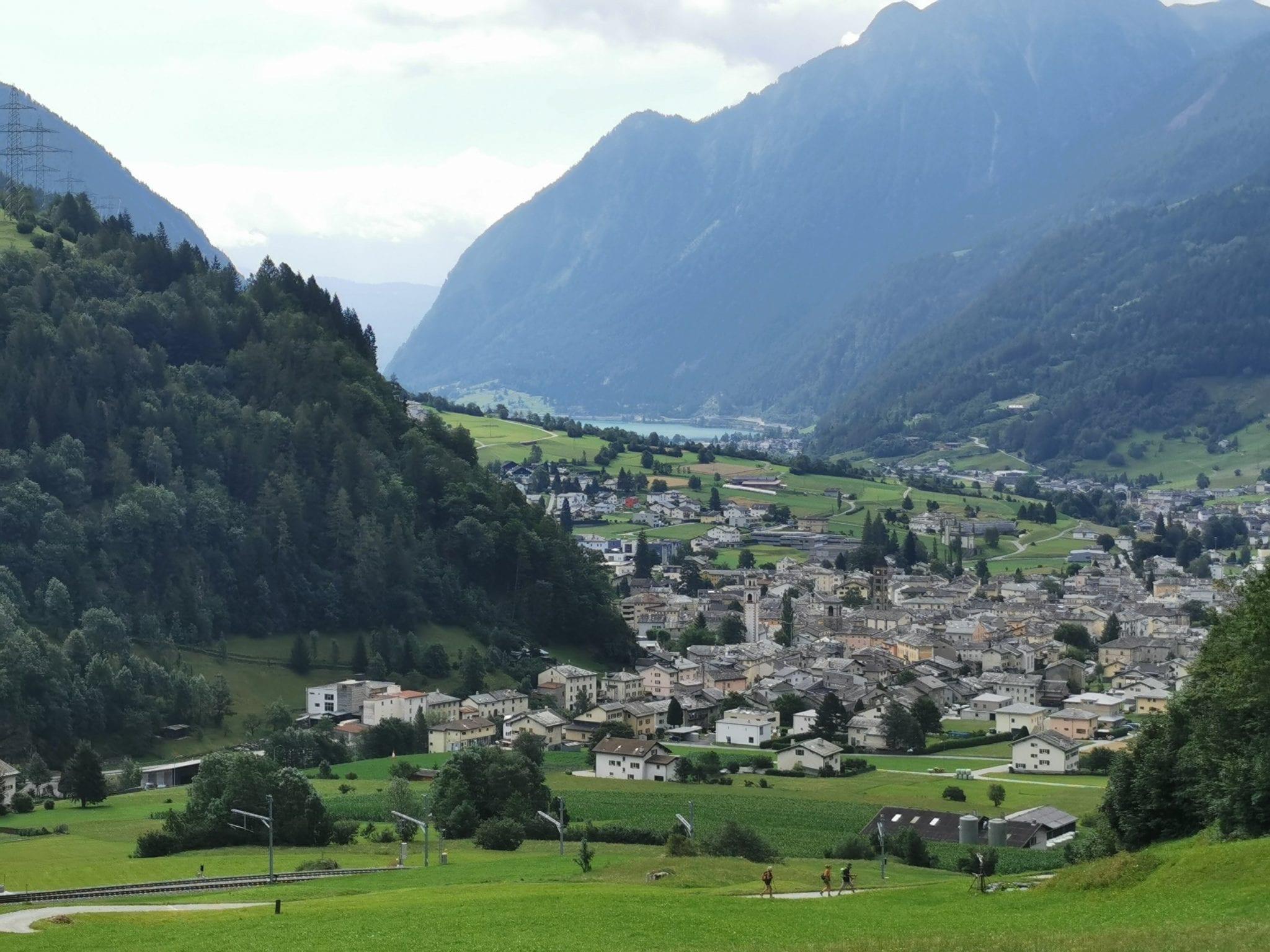
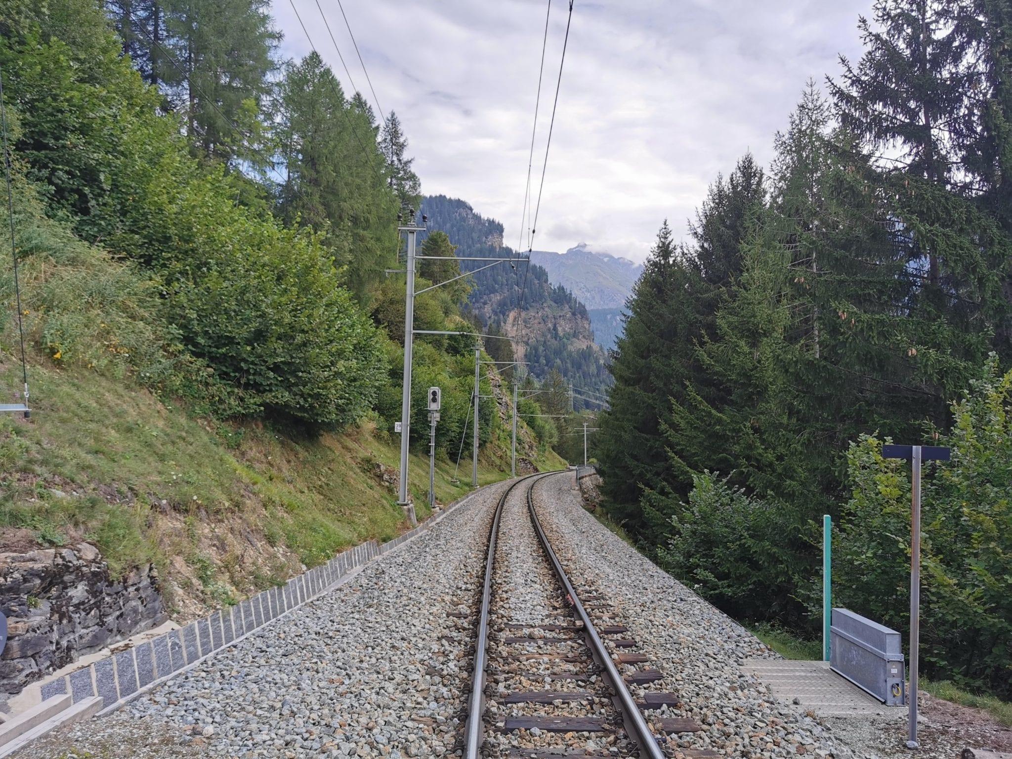
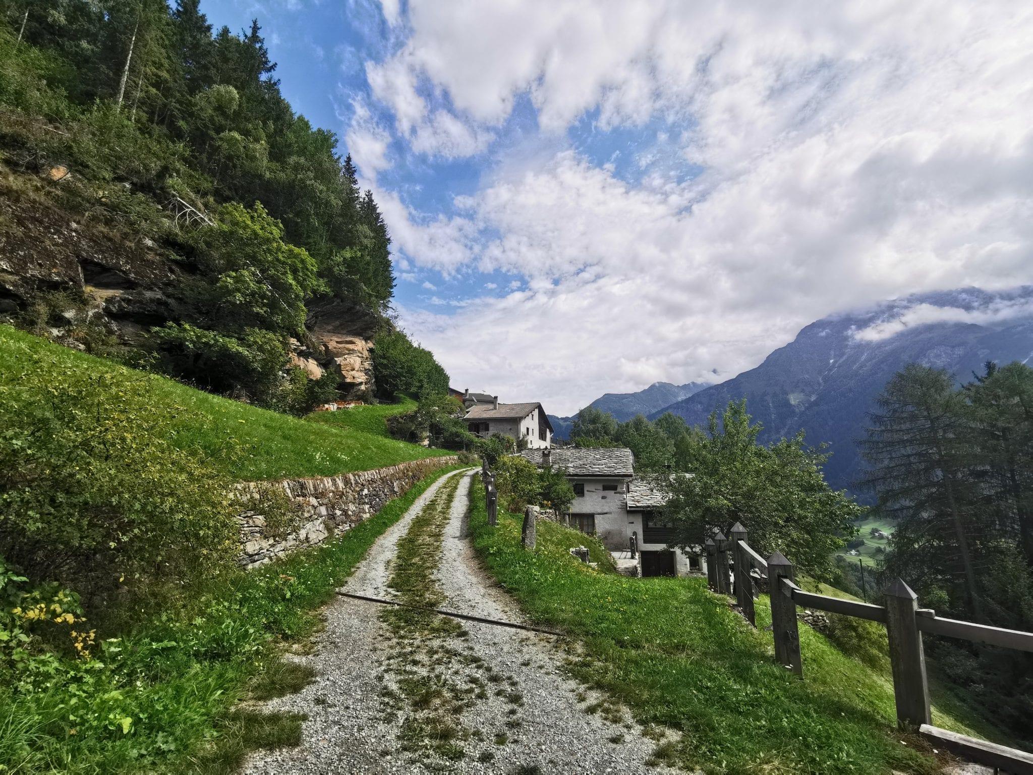
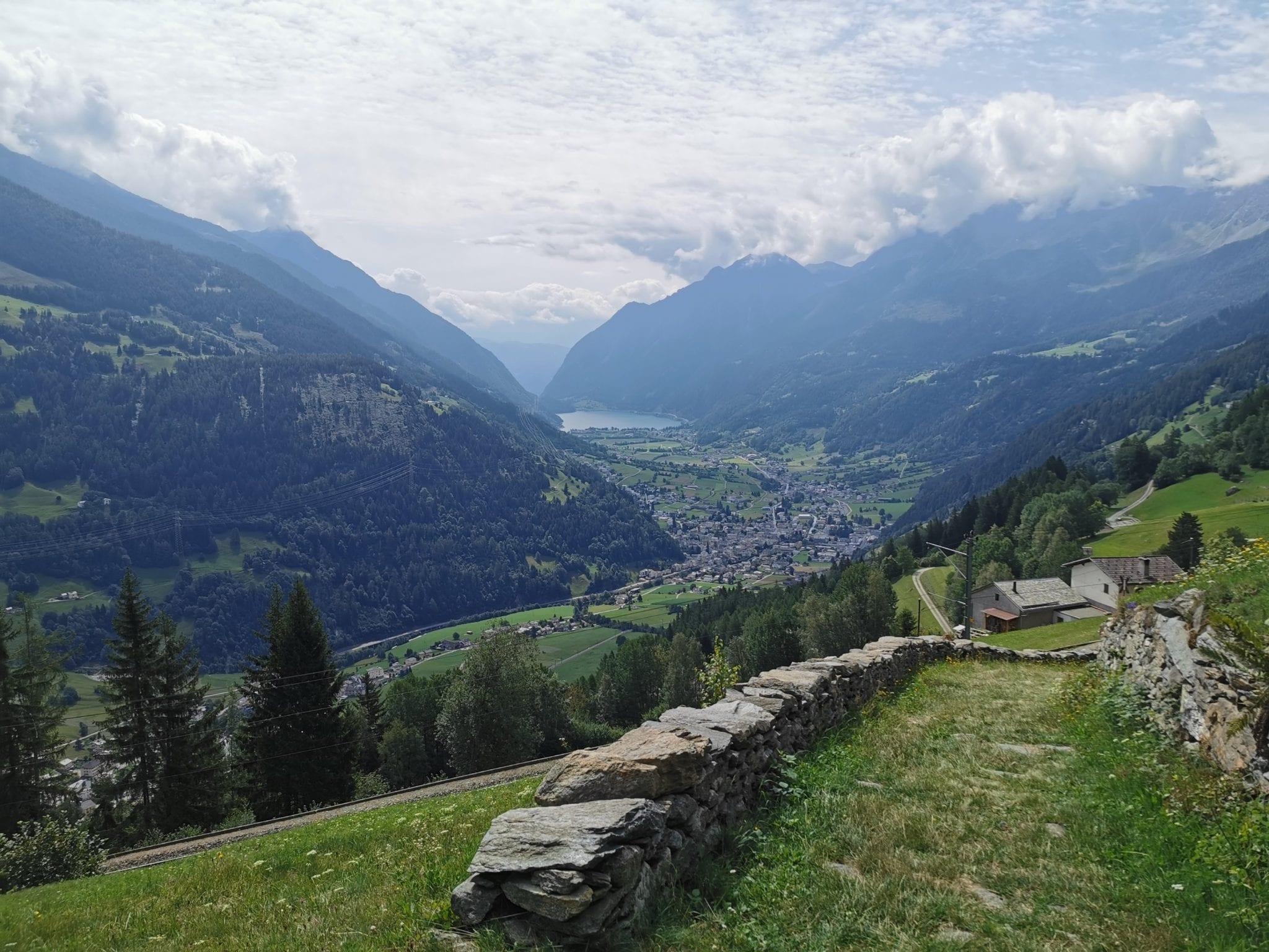
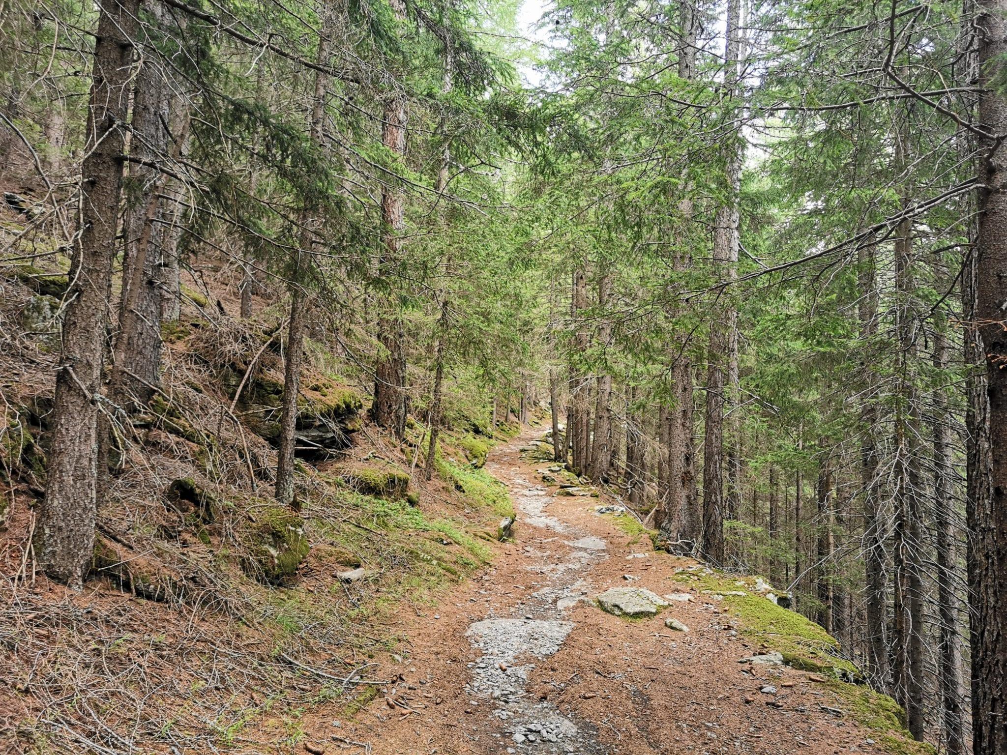
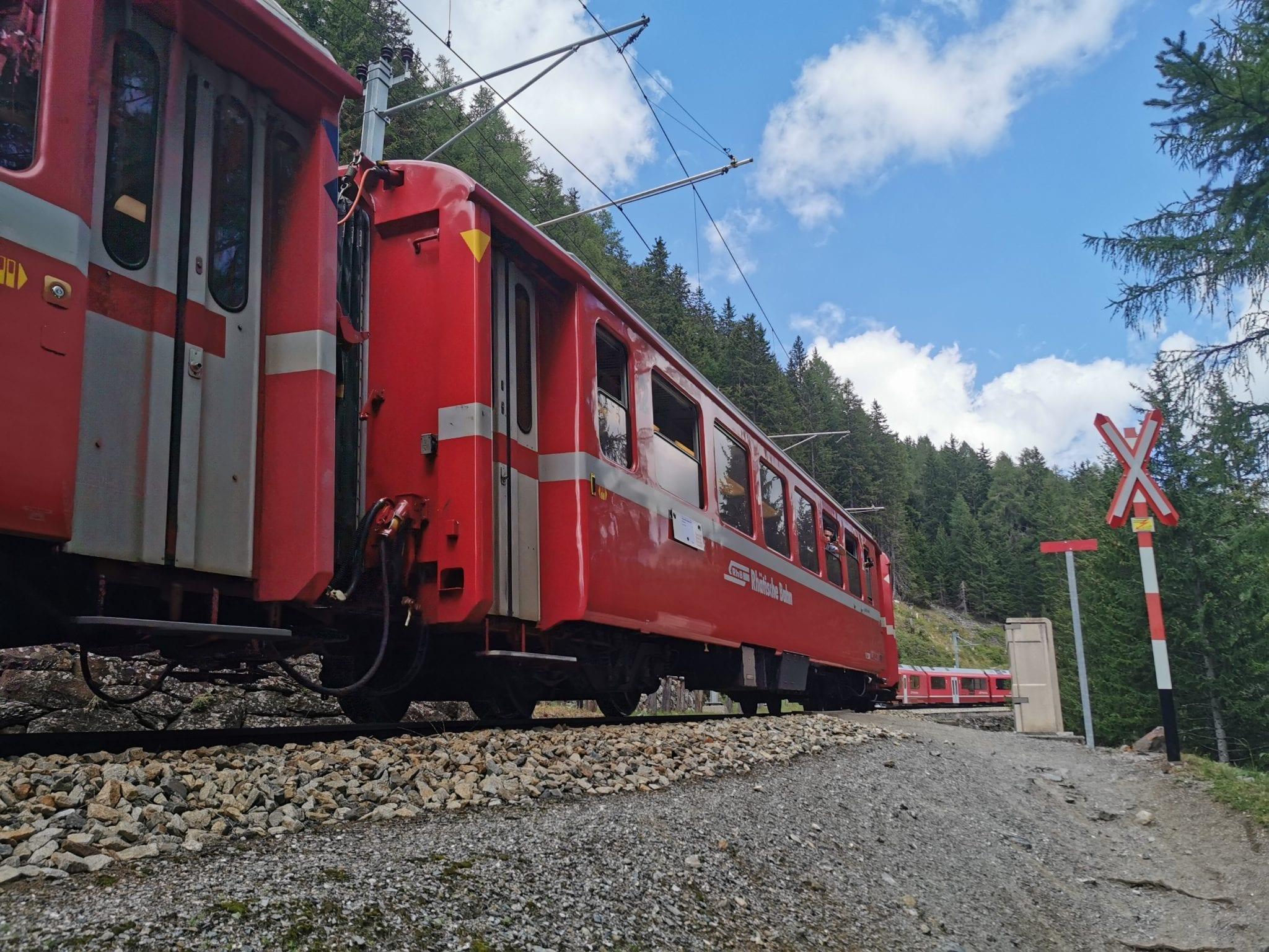
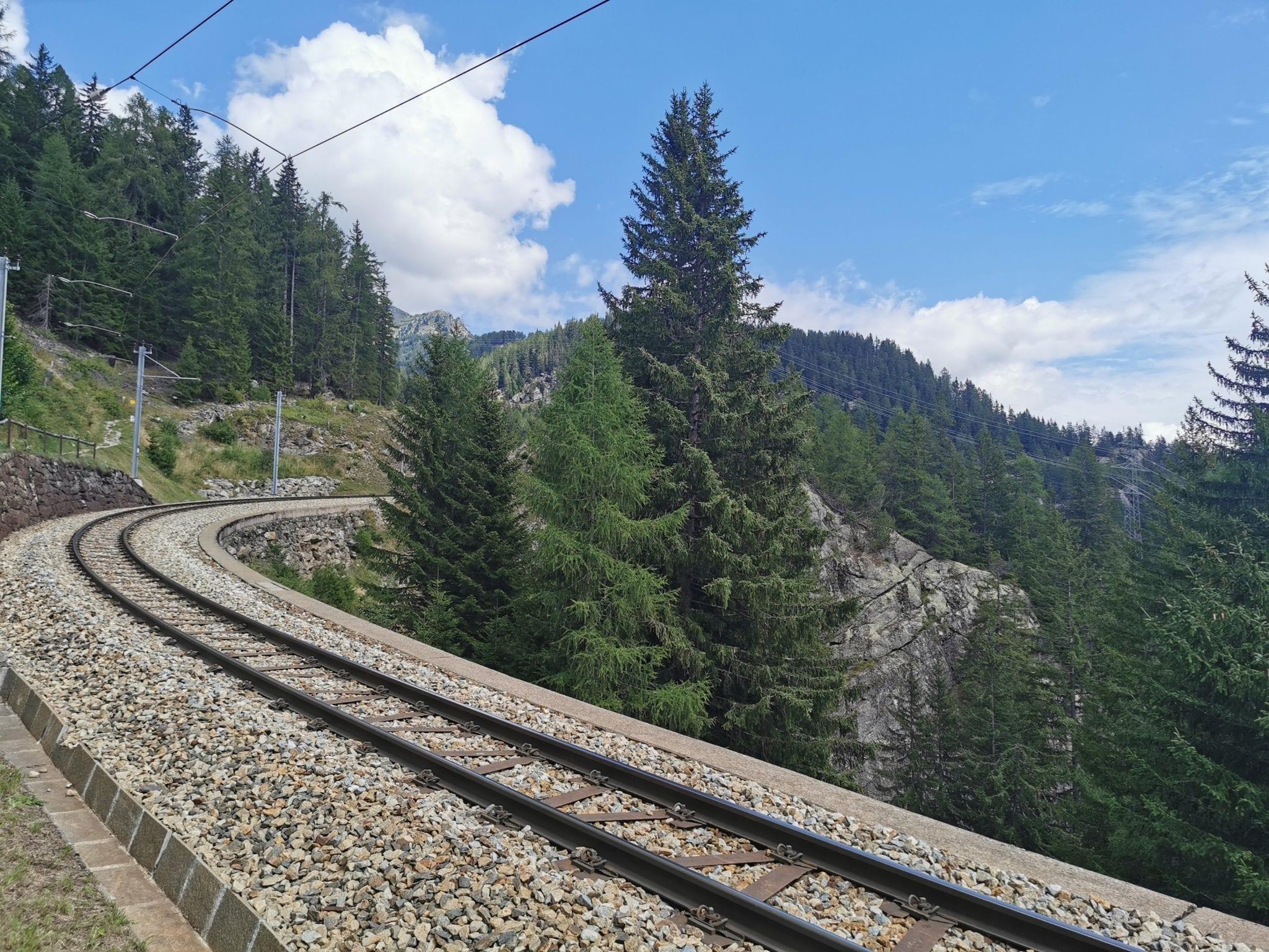
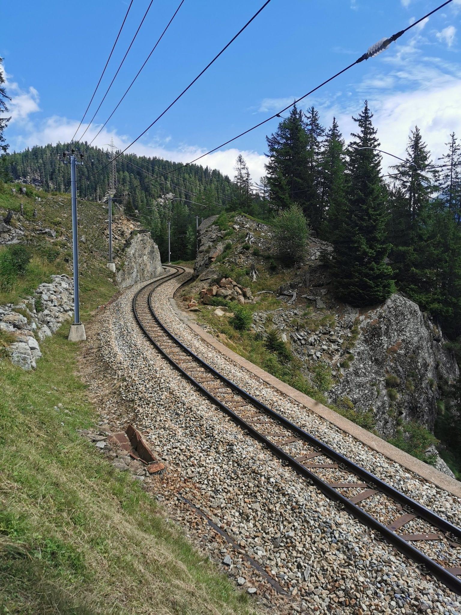
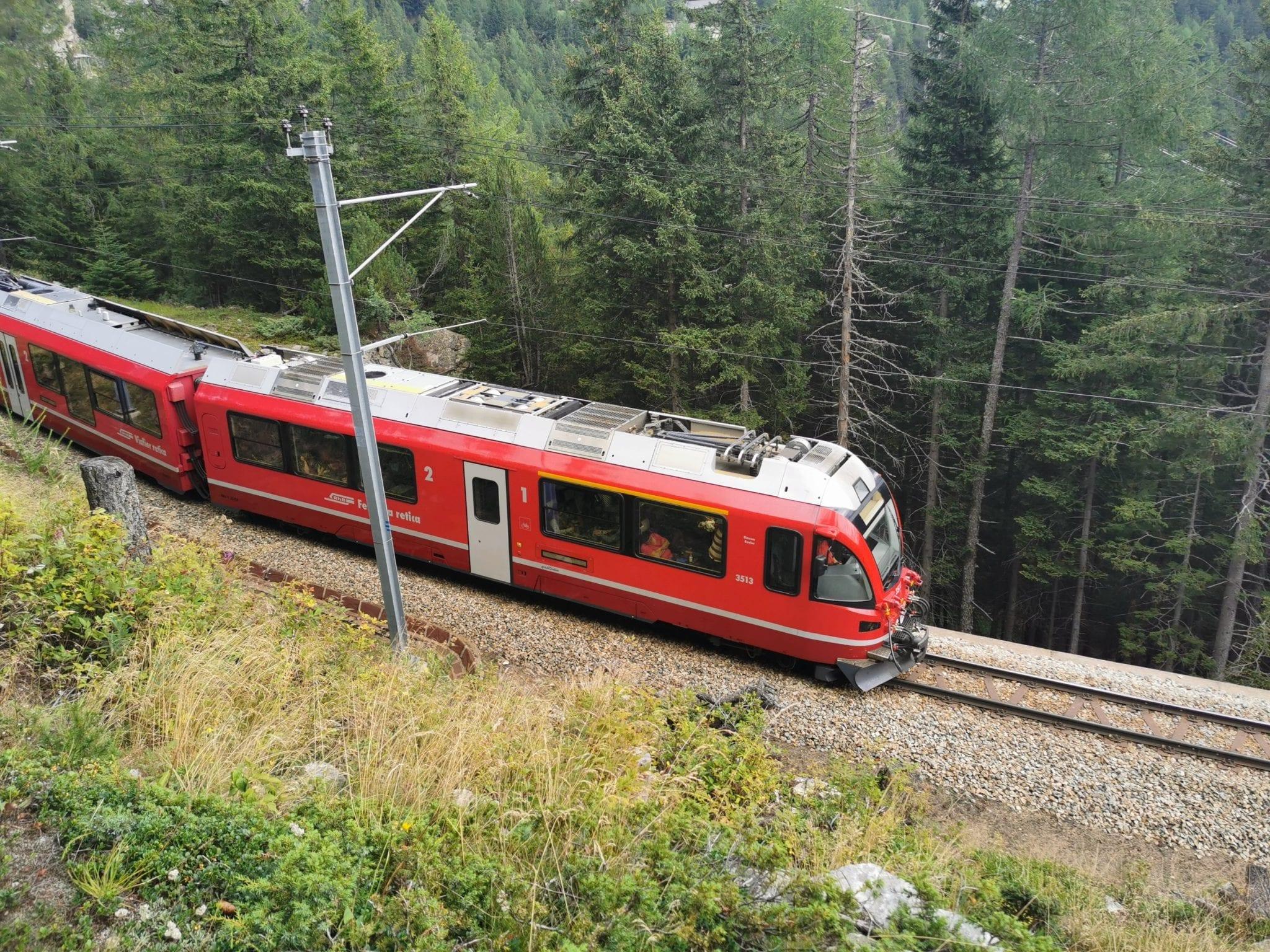
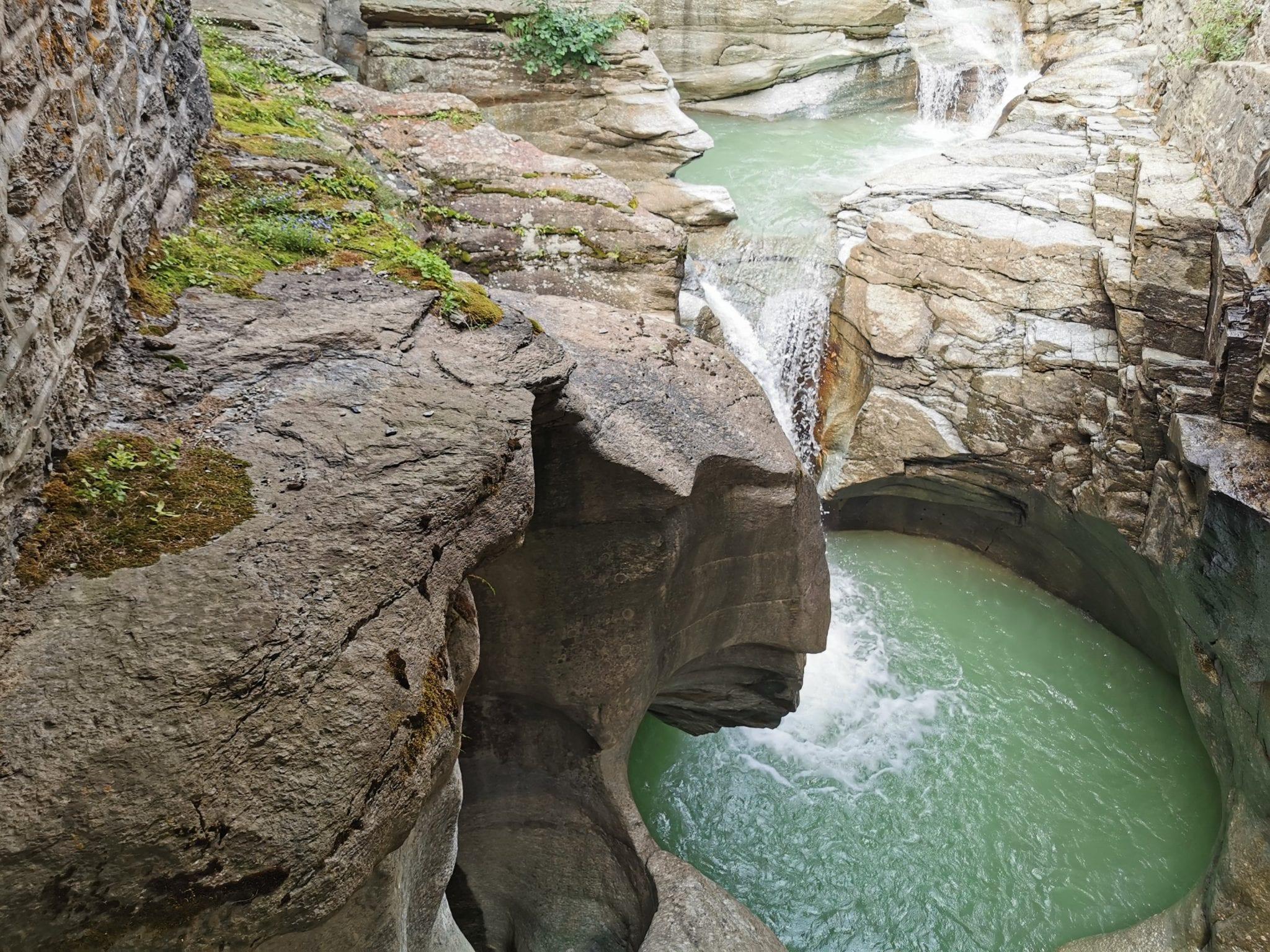
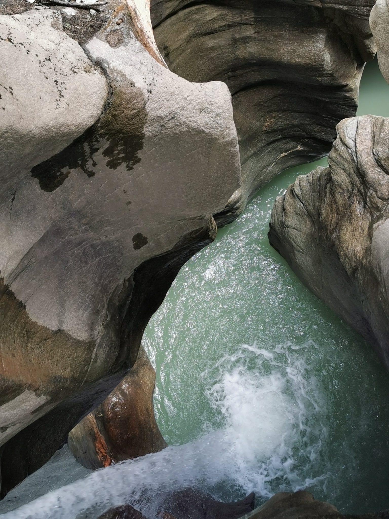
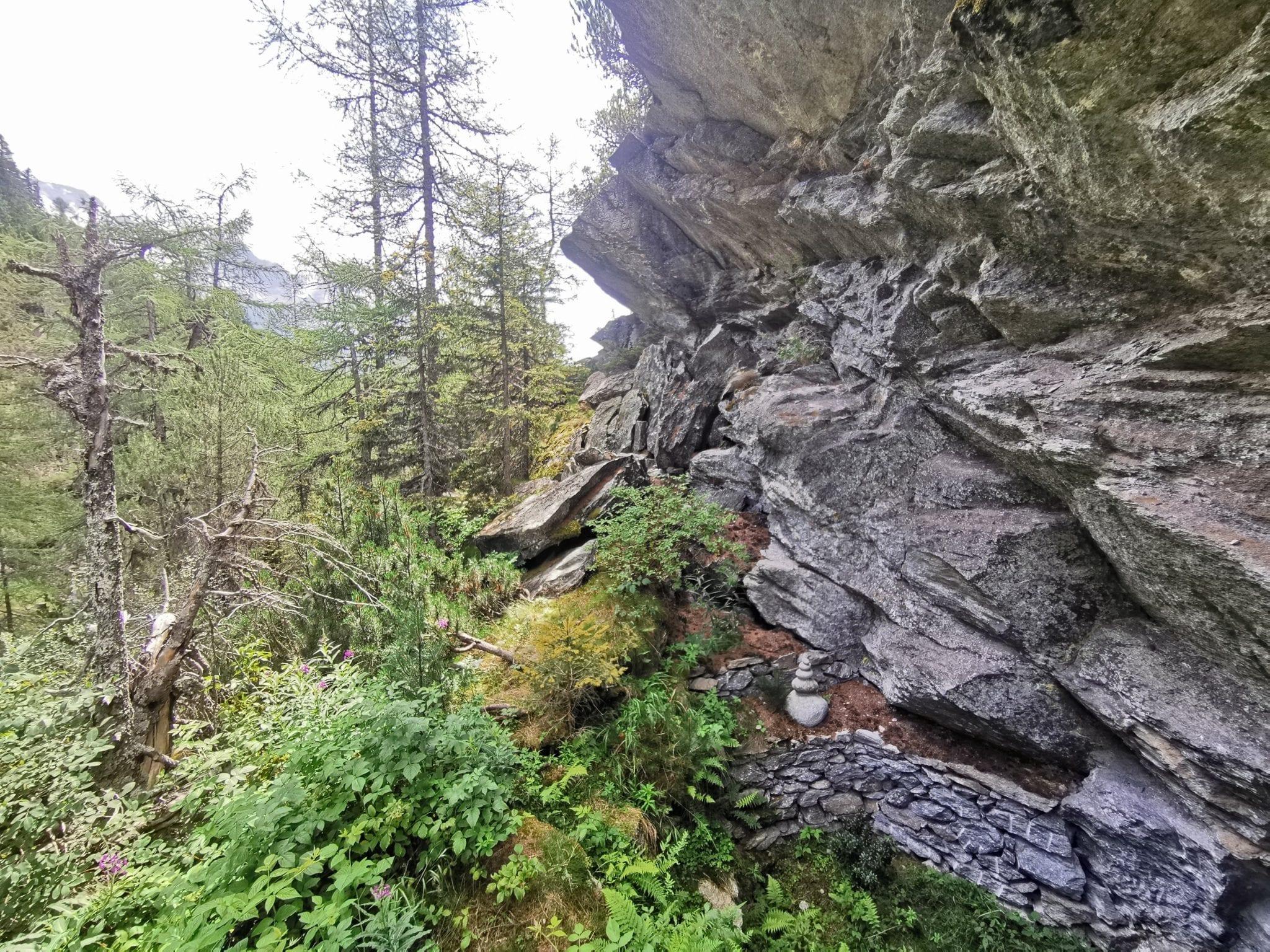
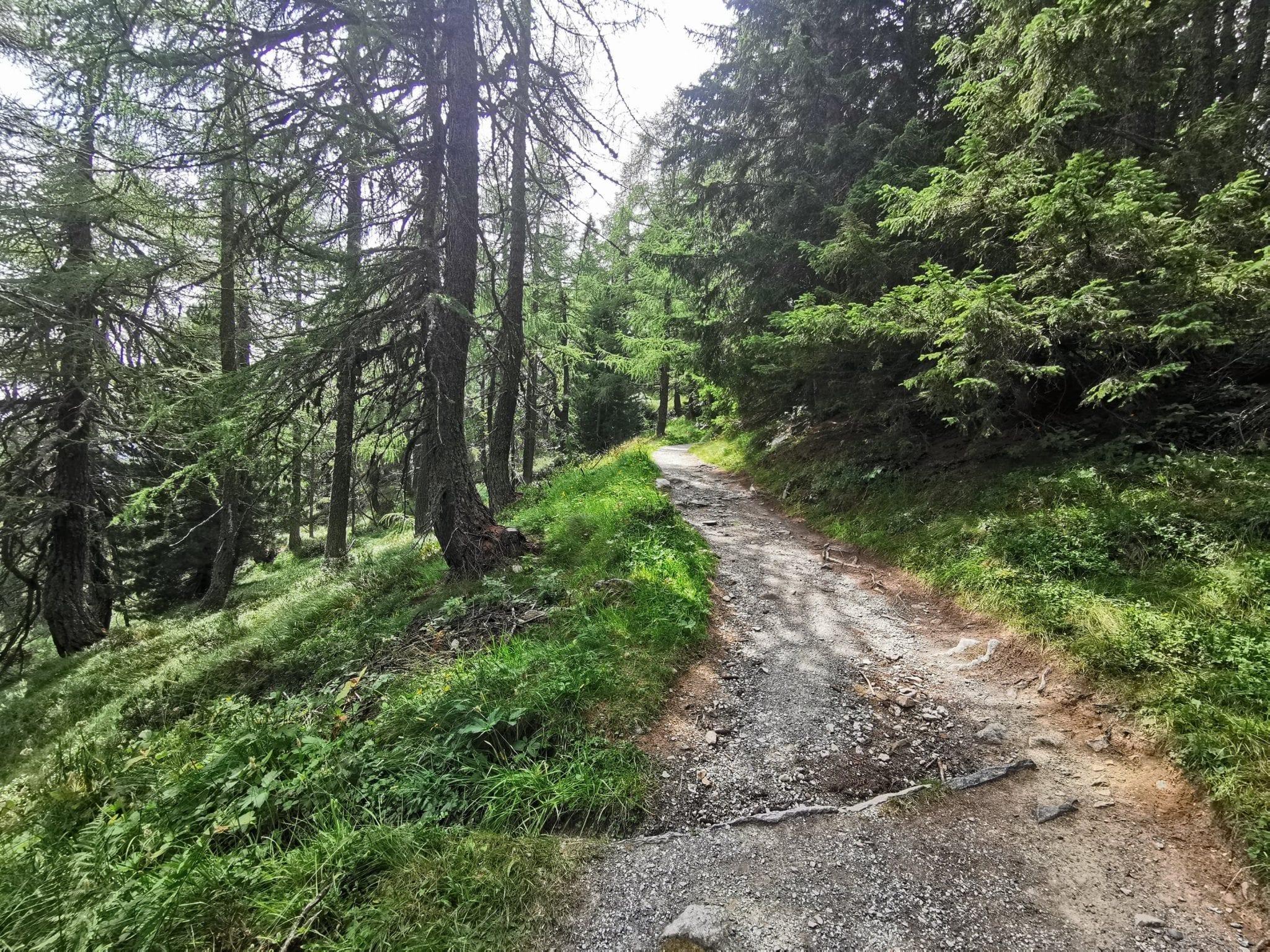
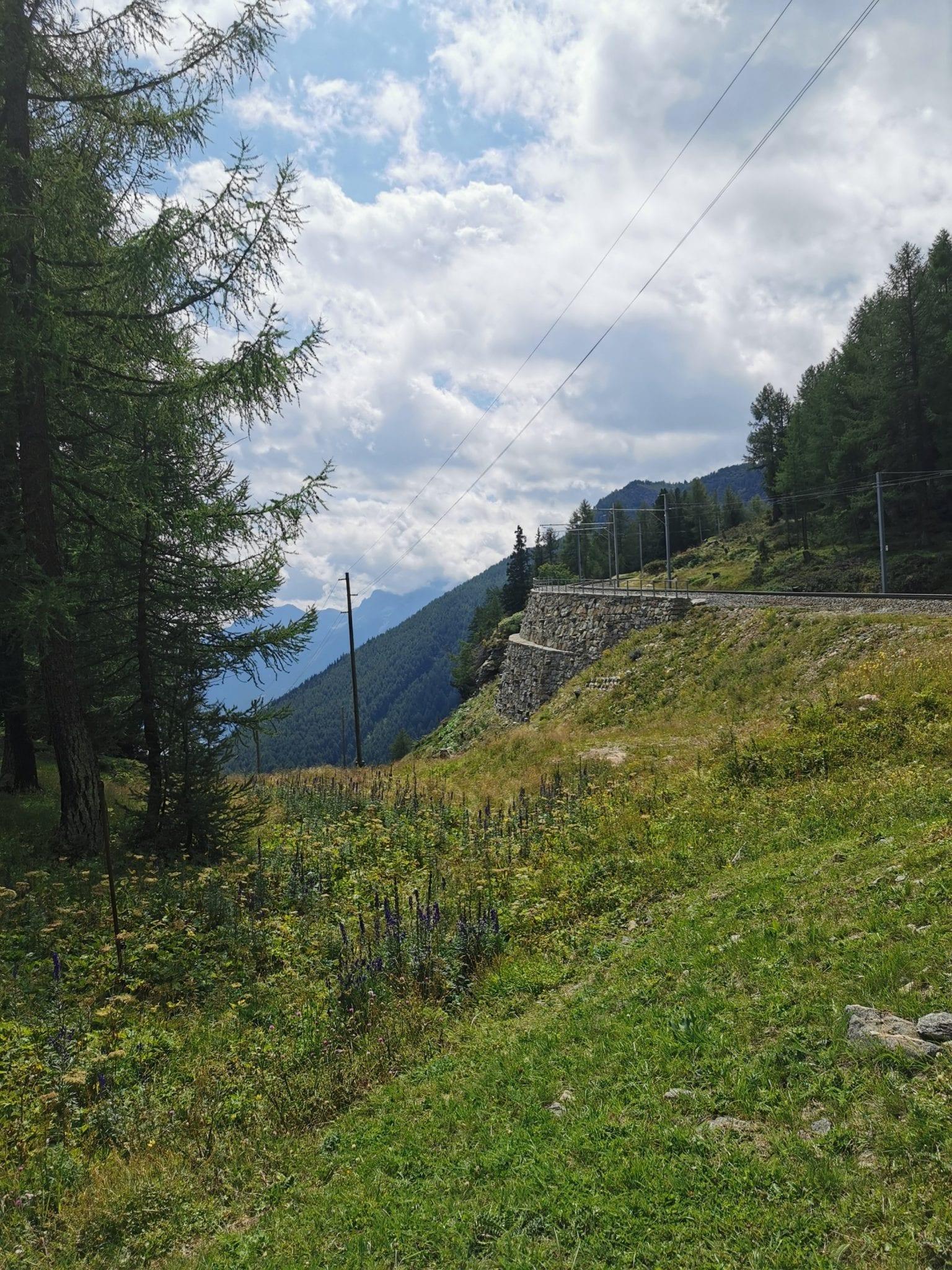
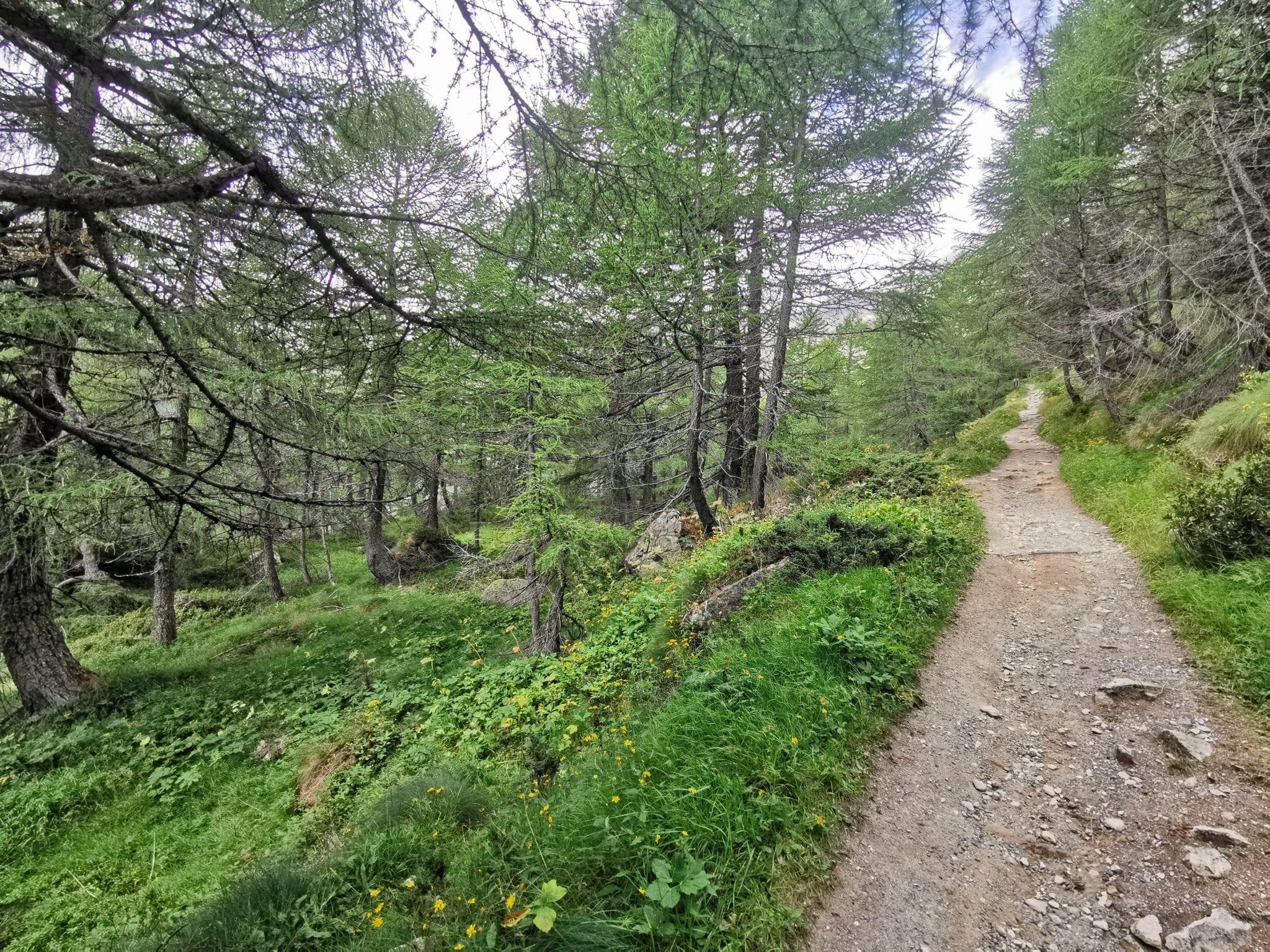
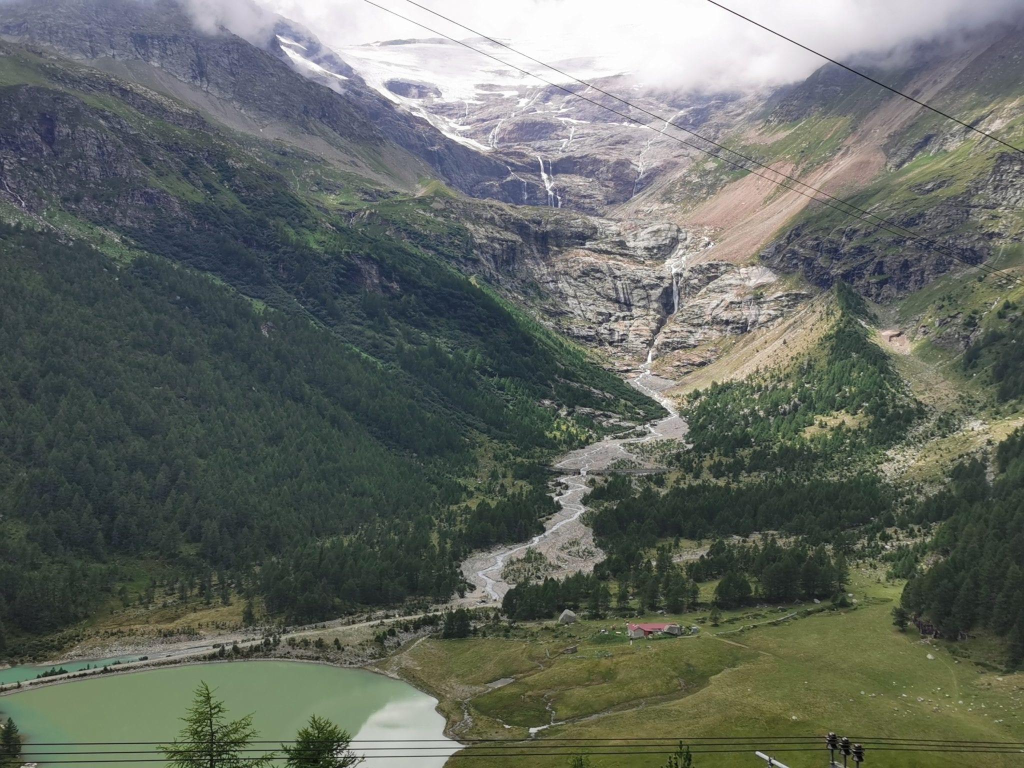
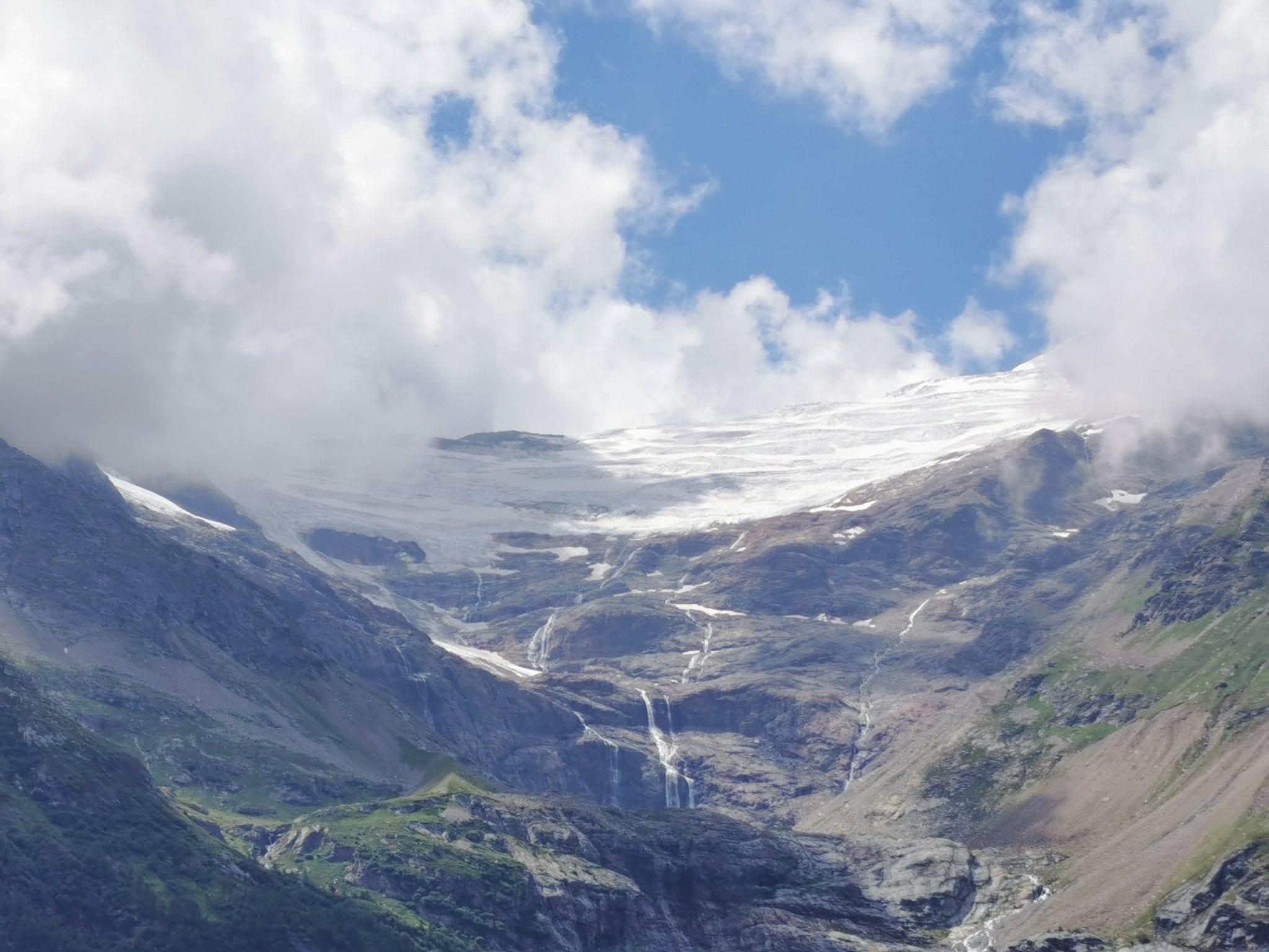
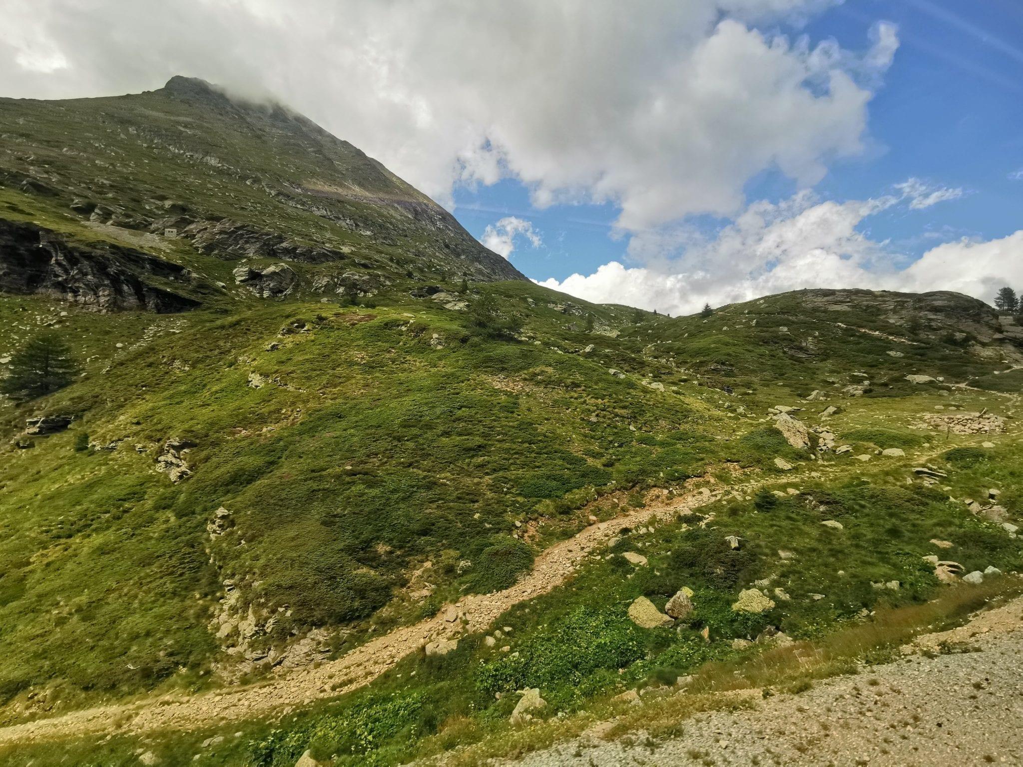
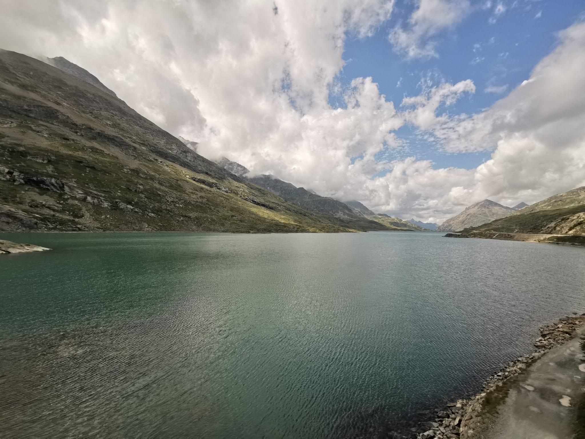
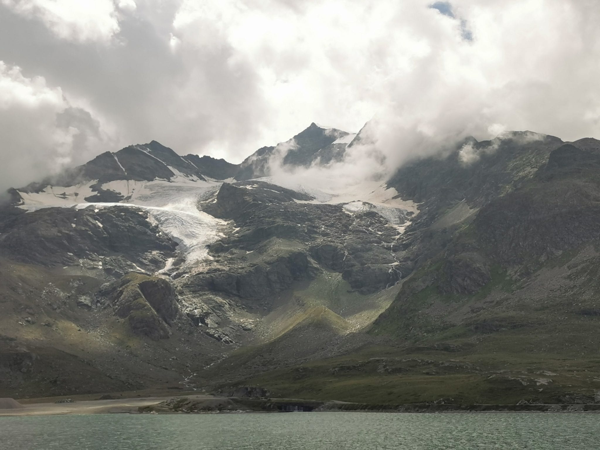
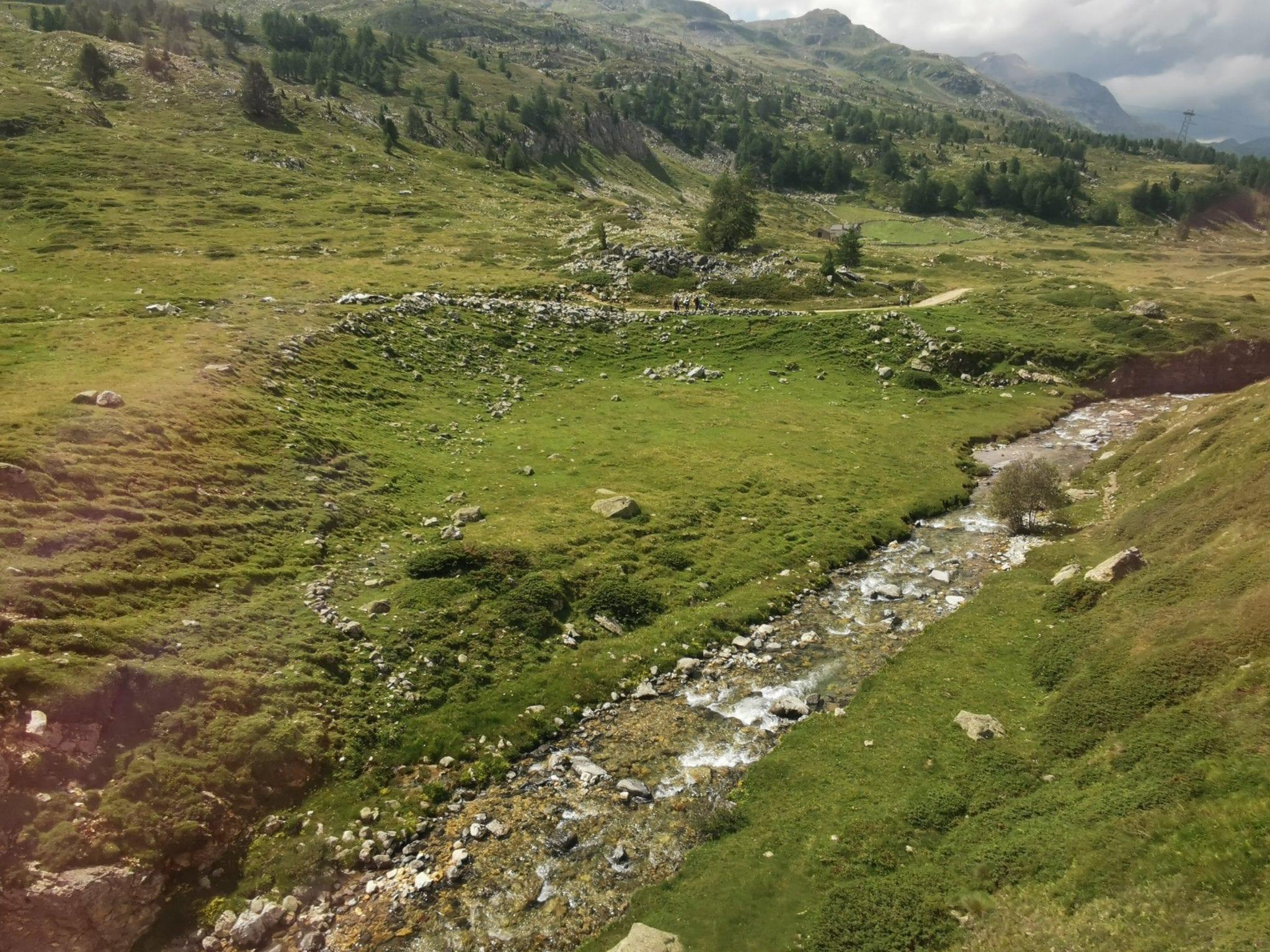
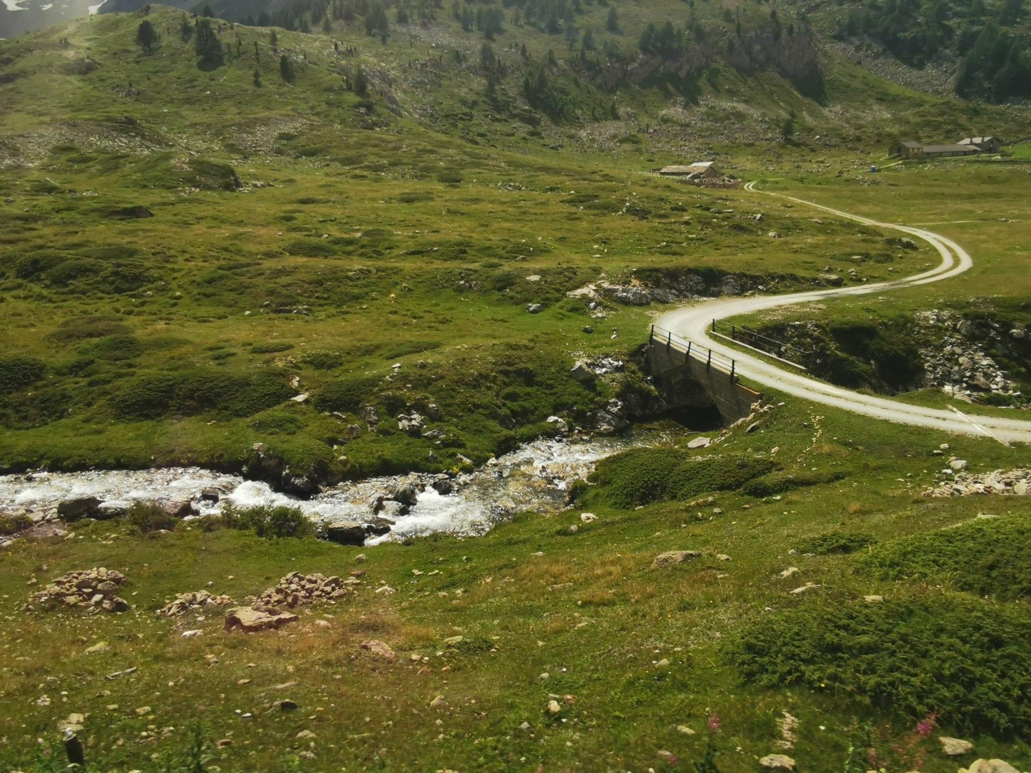
Map of the route “Poschiavo Le Prese zur Alp Grüm”: 15.534 m, 1.634 m of climbing and 504 m of descent, elevation between 964 m and 2.099 m, time 03:35:59. It starts at 46.29008, 10.07815 and ends at 46.37439, 10.03143 (latitude, longitude).
Gesamtstrecke: 15552 m
Maximale Höhe: 2101 m
Minimale Höhe: 964 m
Gesamtanstieg: 1634 m
Gesamtabstieg: 504 m
Durchschnittsgeschwindigkeit: 12.07 min/km
Gesamtzeit: 03:36:18
Download file: activity_3953215256.gpx
Maximale Höhe: 2101 m
Minimale Höhe: 964 m
Gesamtanstieg: 1634 m
Gesamtabstieg: 504 m
Durchschnittsgeschwindigkeit: 12.07 min/km
Gesamtzeit: 03:36:18