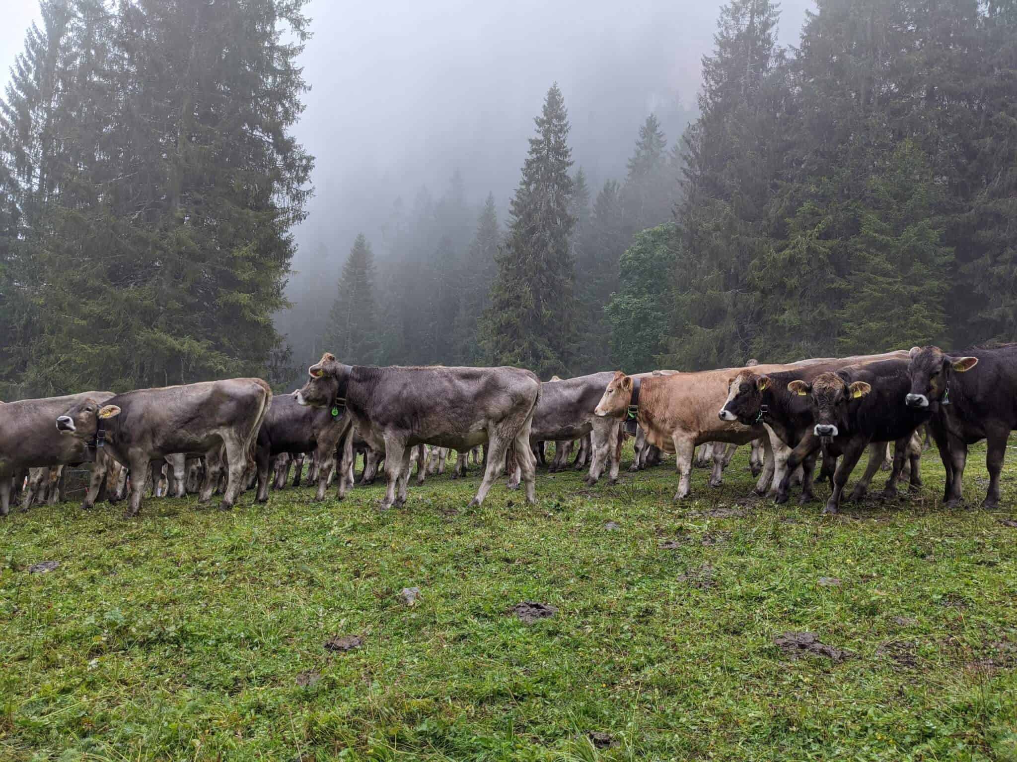
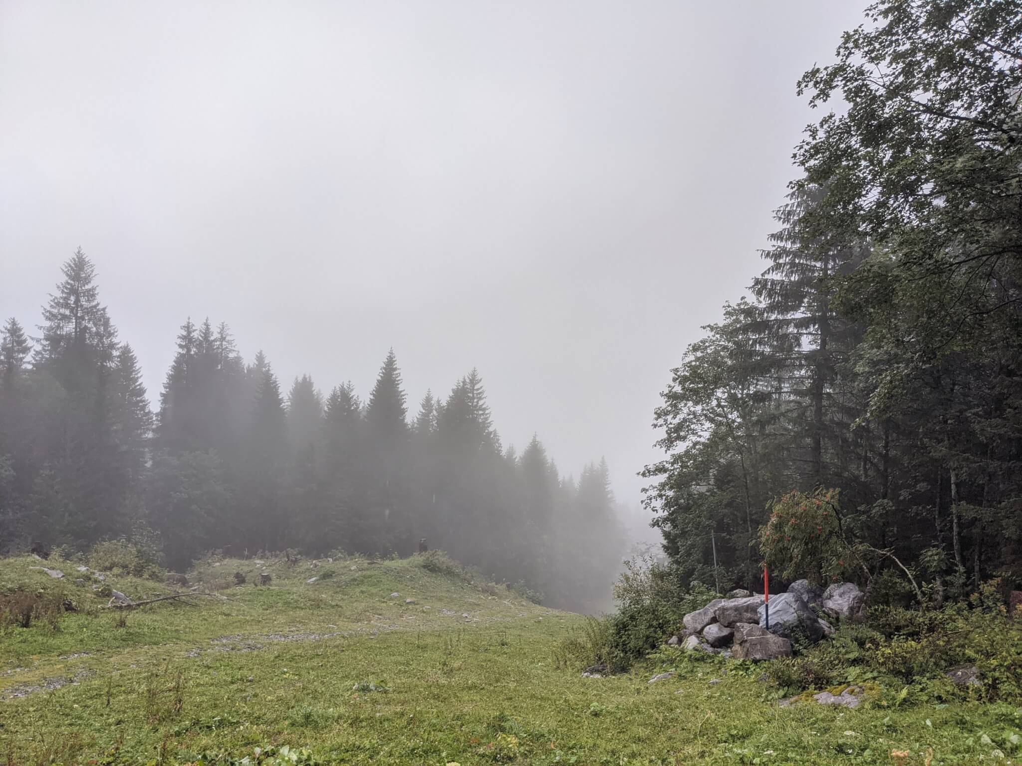
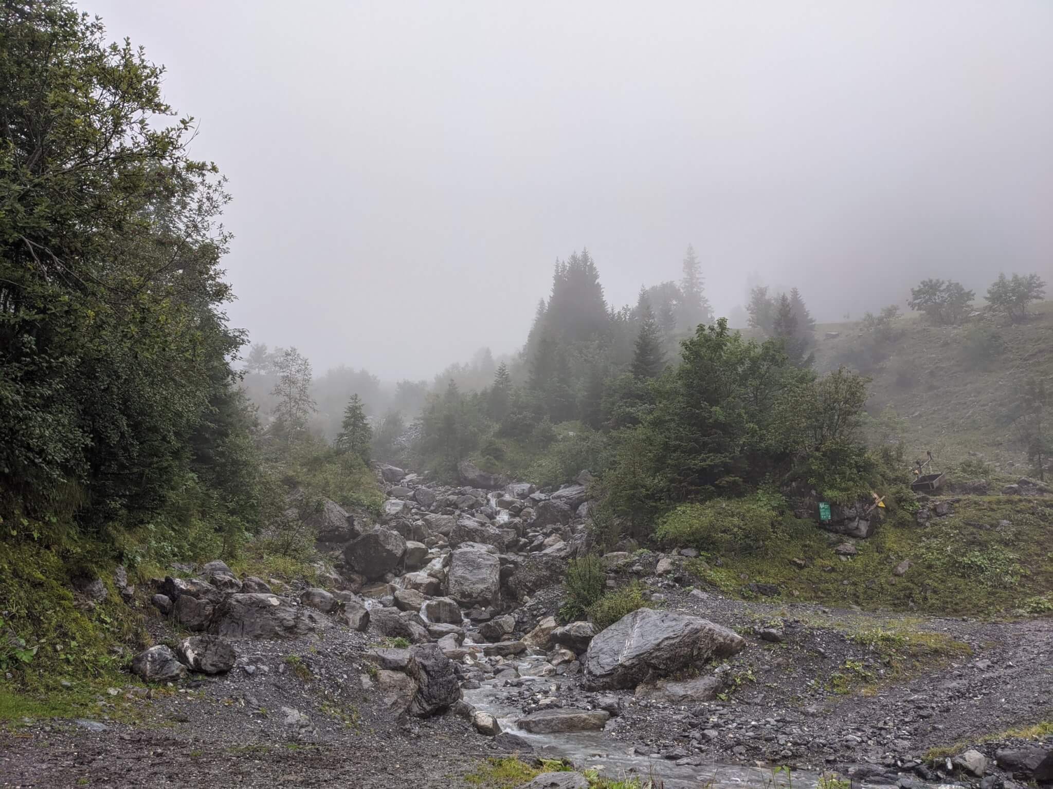
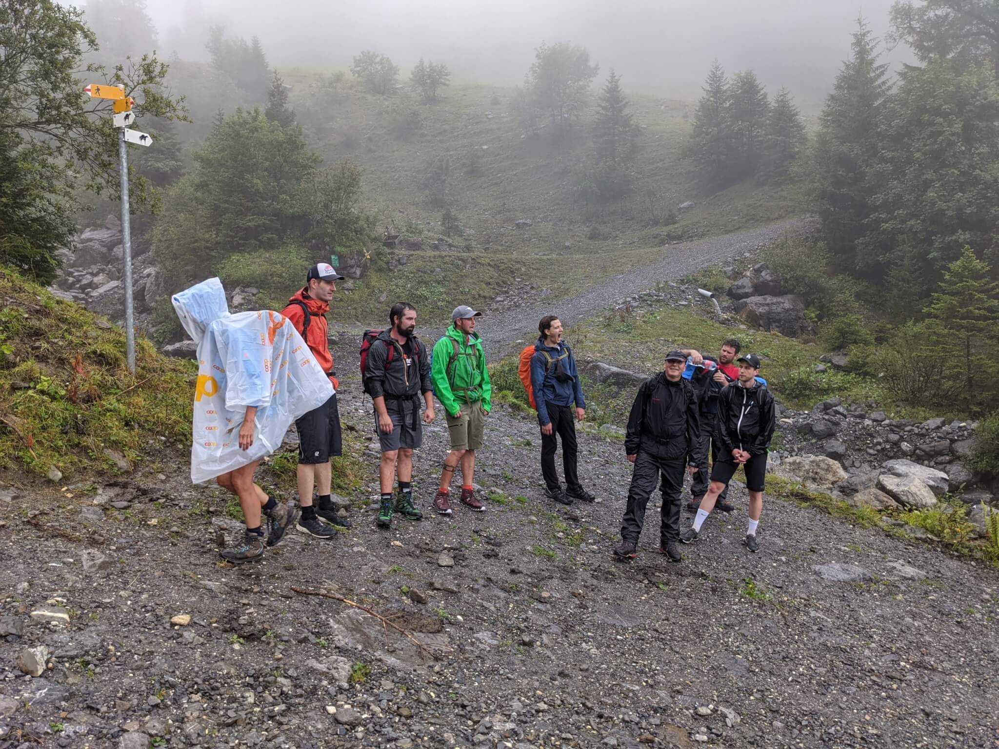
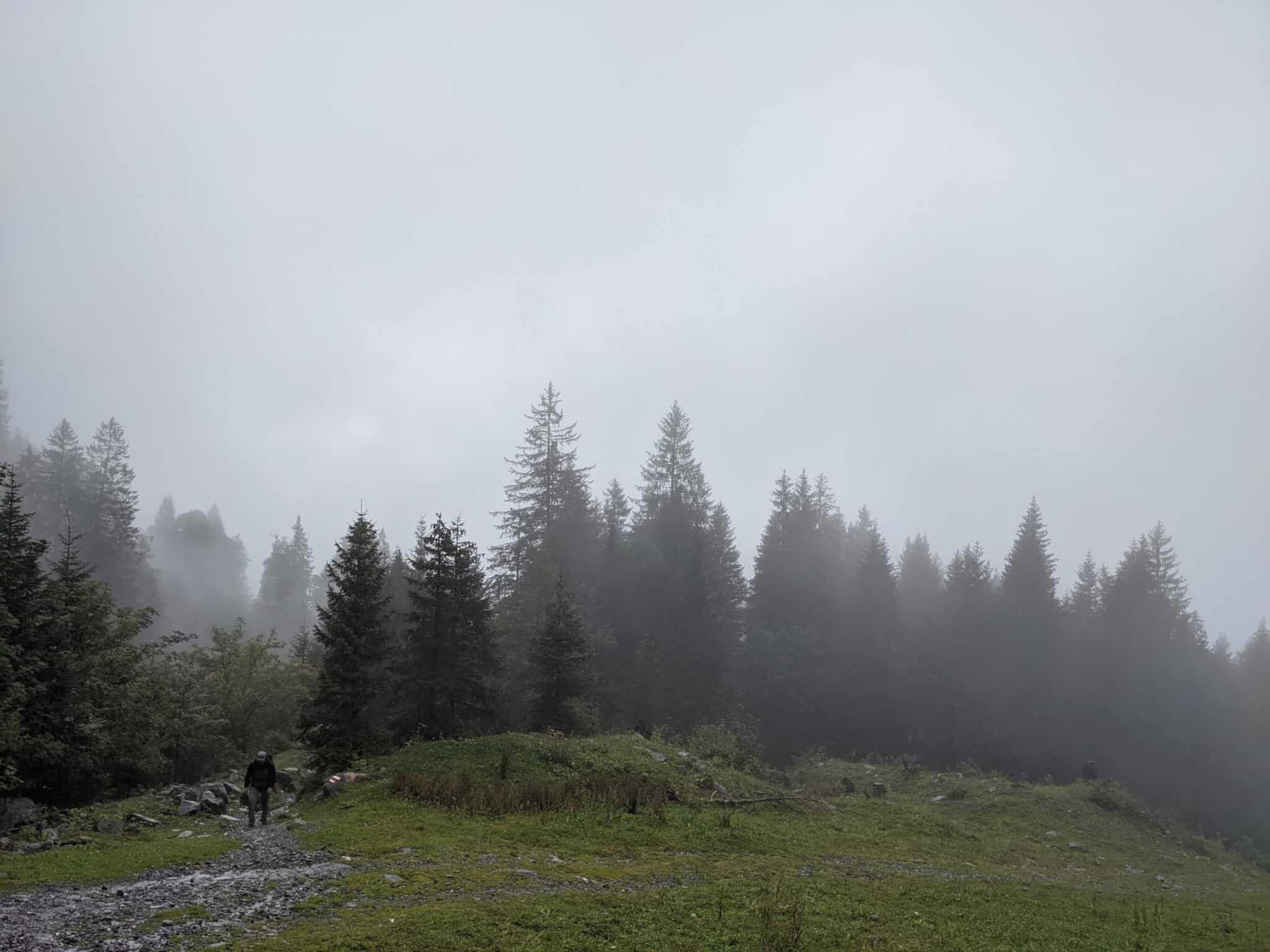
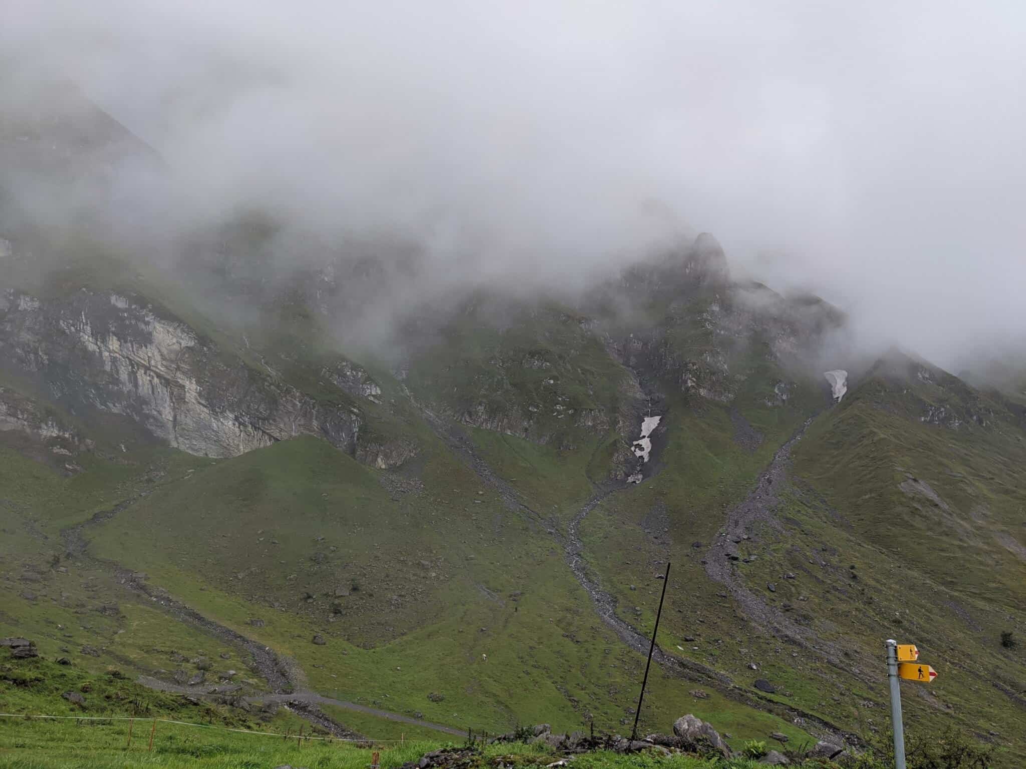
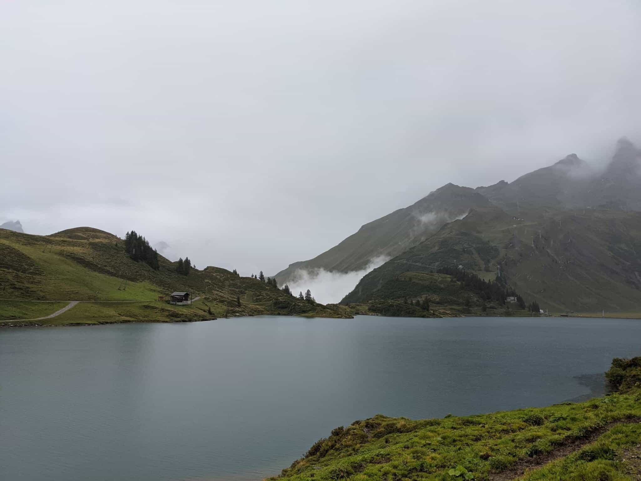
Map of the route “Engelberg – Jochpass”: 9.460 m, 1.366 m of climbing and 167 m of descent, elevation between 996 m and 2.199 m, time 04:13:54. It starts at 46.81883, 8.40306 and ends at 46.77901, 8.38748 (latitude, longitude).
Gesamtstrecke: 9493 m
Maximale Höhe: 2201 m
Minimale Höhe: 996 m
Gesamtanstieg: 1366 m
Gesamtabstieg: 167 m
Durchschnittsgeschwindigkeit: 14.56 min/km
Gesamtzeit: 04:14:28
Download file: activity_5456794693.gpx
Maximale Höhe: 2201 m
Minimale Höhe: 996 m
Gesamtanstieg: 1366 m
Gesamtabstieg: 167 m
Durchschnittsgeschwindigkeit: 14.56 min/km
Gesamtzeit: 04:14:28